Photo and Video Chronology - Kīlauea - July 11, 2018
Release Date:
Kīlauea Volcano's summit activity produces minor ash
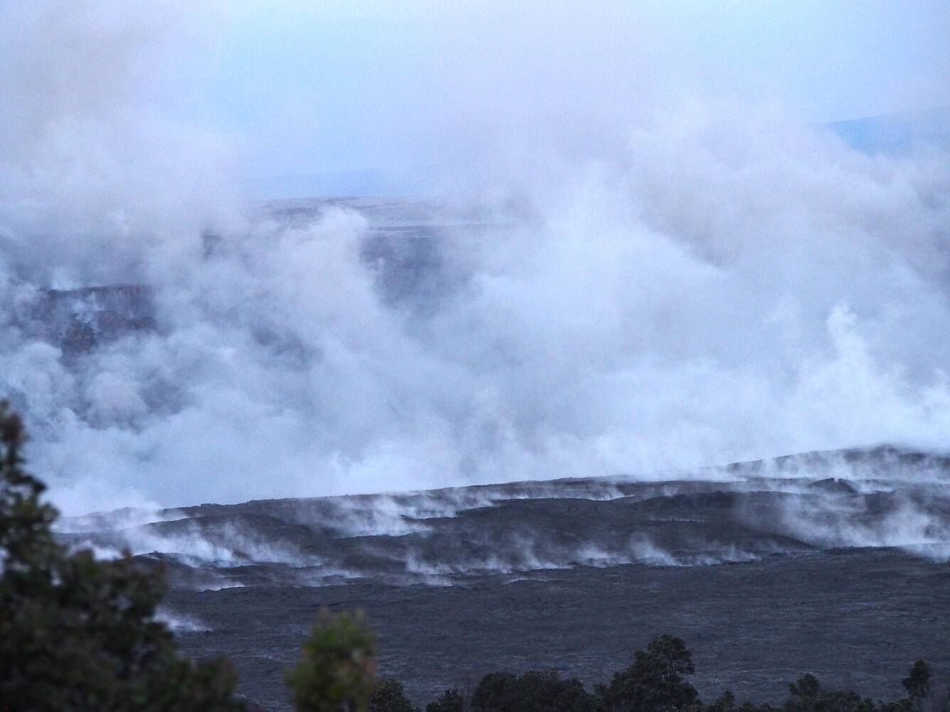
A telephoto view of the eastern edge of Halema‘uma‘u taken just two minutes after today's (July 11) 5:45 a.m. HST collapse explosion event. Steam is intermixed with minor ash that imparts a pinkish-brown color to the plume. The energy released by the event was equivalent to a magnitude-5.3 earthquake.
(Public domain.)
Kīlauea lower East Rift Zone lava flow
During an overflight this morning, the Hawaii County Fire Department captured this image looking east toward Kapoho Crater. A breakout from the south margin of the main fissure 8 channel is sending a lava flow west of the crater (center, from left to right). The flow is advancing to the south toward Ahalanui (warm ponds).
(Courtesy: Hawaii County Fire Department)
Aerial view of the ocean entry at Kapoho. Cape Kumukahi (with lighthouse) is in the foreground, and Kapoho Crater is in the upper right.
(Public domain.)
A pāhoehoe flow fed by overflows from the fissure 8 lava channel was active along Nohea Street in the Leilani Estates subdivision this morning.
(Public domain.)
A screenshot of an aerial image captured by a MavicPro drone above the fissure 8 lava channel this morning. Overflows from the channel were threatening homes along Nohea and Luana Streets in the Leilani Estates subdivision.