U.S. flag

An official website of the United States government

Photo and Video Chronology - Kīlauea - October 28, 2003

October 28, 2003

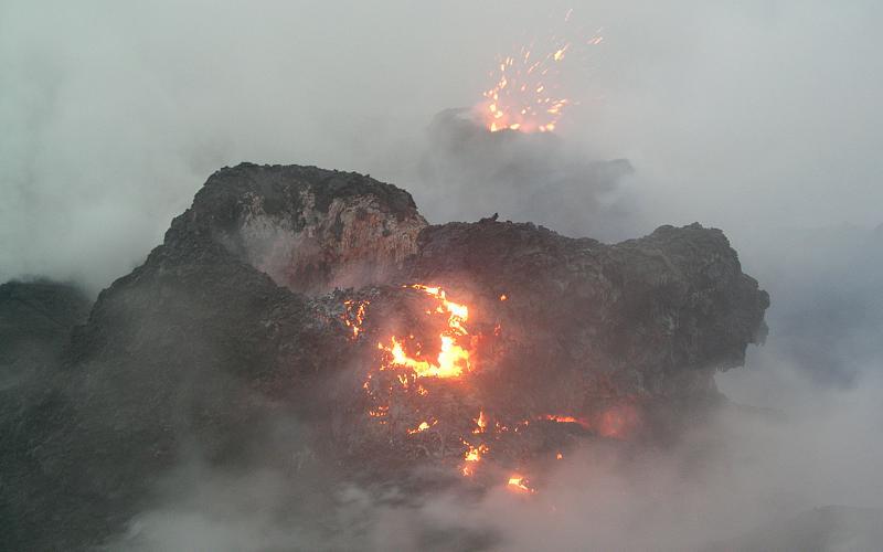
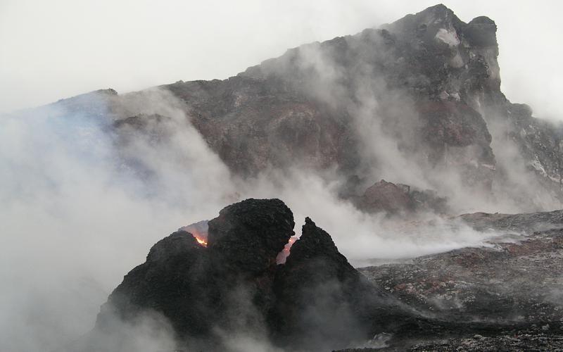
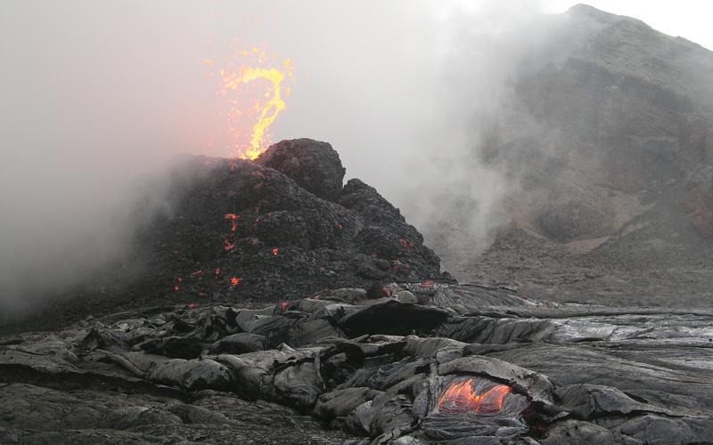
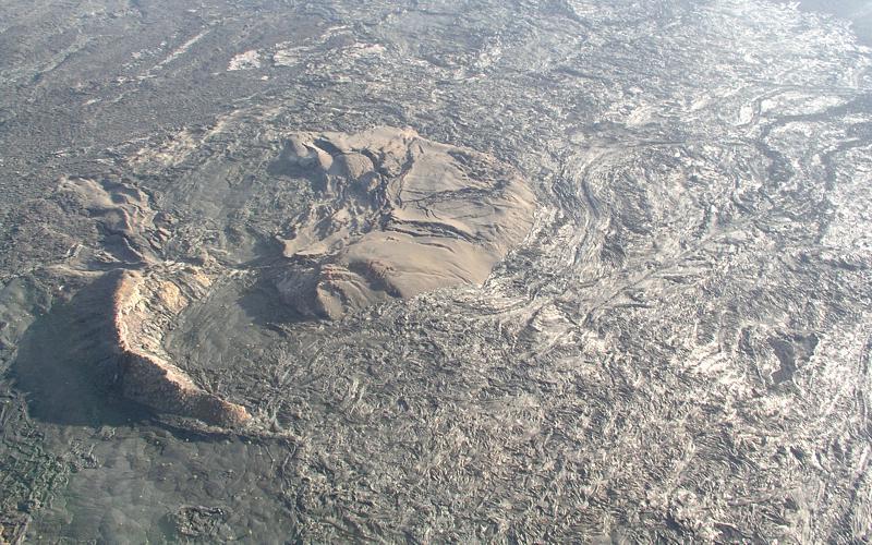
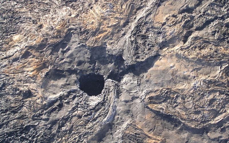
Early morning spatter in West Gap Pit, and a few aerials


photo of lava
Spatter from western vent in West Gap Pit, under very fumy conditions. "Pit" is really a misnomer now, for what was a pit has been filled by lava flows. Gas masks were in order this morning, as they were for all subsequent images taken in West Gap Pit. Height of spatter cone is about 7 m. This is same spatter cone that was much more active on October 3 (see archived images for that day, which view other side of cone.
photo of lava
Looking west at eastern vent in West Gap Pit, incandescent and recently spitting spatter. This vent is also shown in some images taken on October 3. Cone at vent is about 6 m high. Glow from western vent visible in upper left. Note the thick, tasty fume.
photo of lava
Similar view to right image above, but clearer view of spattering west vent.
photo of lava
Eastern vent in West Gap Pit, looking northeast across head of West Gap Pit with looming rim of Pu`u `O`o crater in background. West lip of Pu`u `O`o crater is shown about halfway up right side of image.
photo of lava
Spitting spatter from western vent in West Gap Pit. Shutter speed sufficiently fast to catch clots without showing their parabolic trajectory.
photo of lava
Another view of western vent, with Pu`u `O`o behind and lava flow in foreground.
photo of lava
The following four images take advantage of early morning sun angle to show features near Pu`u `O`o. Spatter cone formed early in Pu`u `O`o eruption, once called 1123 cone and now known as Pu`u Halulu. Location is about 1 km downrift of Pu`u `O`o. Cone has been invaded and nearly covered by lava flows erupted later in eruption.
photo of lava
Steep view of skylight in long-abandoned lava tube southeast of Pu`u `O`o, showing fabric of lava flows. Skylight is about 7 m wide.
photo of lava
Skylights define course of old lava tube back toward Pu`u `O`o. View looks northwestward. Fuming area to left is Cookie Monster area along upper Mother's Day flow and is where numerous hornitos have formed, including those shown in images for October 24. West Gap Pit is hidden in this and right image just west of Pu`u `O`o.
photo of lava
Closer view of south side of Pu`u `O`o, showing broken-down Puka Nui, the large pit with high shadowed wall.
Map of flows from Pu`u `O`o: 10 October 2003
Map shows lava flows erupted during 1983-present activity of Pu`u `O`o and Kupaianaha. Red denotes Mother's Day flow, which began erupting on May 12, 2002 and continues to the present.Through September and into early October,  lava was moving along the east and west sides of the Mother's Day flow. The east-side lava (known as the August 9 breakout) came from the August 9 rootless shield, itself fed by the main Mother's Day tube from Pu`u `O`o. The west side lava, known as the Kohola arm of the Mother's Day flow, branched off the tube system below the rootless shield.In early October, the August 9 breakout stopped moving, the Kohola died back to a trickle, and the rootless shield gained prominence. By October 16, however, the shield had partly collapsed, leaving several drained perched ponds behind. Upstream from the shield, many hornitos and small flows formed over the Mother's Day tube.

Get Our News

These items are in the RSS feed format (Really Simple Syndication) based on categories such as topics, locations, and more. You can install and RSS reader browser extension, software, or use a third-party service to receive immediate news updates depending on the feed that you have added. If you click the feed links below, they may look strange because they are simply XML code. An RSS reader can easily read this code and push out a notification to you when something new is posted to our site.