
Black and white images show damage caused by the 1964 earthquake and tsunami in Valdez, Alaska.
Multimedia
The Alaska USGS Multimedia Gallery is our one-stop collection of videos, photography, and audio. All items in this gallery are considered public domain unless otherwise noted.
Images

Black and white images show damage caused by the 1964 earthquake and tsunami in Valdez, Alaska
Black and white images show damage caused by the 1964 earthquake and tsunami in Valdez, Alaska.

Argos Wildlife Tracking Buff-breasted Sandpipers animation
Illustrates where Buff-breasted Sandpipers were tracked using Argos Wildlife Tracking
Illustrates where Buff-breasted Sandpipers were tracked using Argos Wildlife Tracking

Argos Wildlife Tracking Long-billed Curlews animation
Illustrates where Long-billed Curlews were tracked using Argos Wildlife Tracking.
Illustrates where Long-billed Curlews were tracked using Argos Wildlife Tracking.

Ric Wilson at a "Black in Alaska" event
Ric Wilson, a doctorate in geology and USGS research geologist at the Alaska Science Center in Anchorage, Alaska.
Ric Wilson, a doctorate in geology and USGS research geologist at the Alaska Science Center in Anchorage, Alaska.

USGS booth at the Alaska Forum on the Environment Conference
The Alaska Forum on the Environment Forum is held each February in Anchorage, Alaska providing an opportunity for State, local, Federal, military, private, Native leaders and professionals to come together and discuss the latest projects, processes, and issues that affect Alaska.
The Alaska Forum on the Environment Forum is held each February in Anchorage, Alaska providing an opportunity for State, local, Federal, military, private, Native leaders and professionals to come together and discuss the latest projects, processes, and issues that affect Alaska.

Capelin flyer
Capelin, a small forage fish, are spawning on beaches around Alaska and your observations can contribute to our understanding of beach spawning behavior and the health of marine ecosystems.
Capelin, a small forage fish, are spawning on beaches around Alaska and your observations can contribute to our understanding of beach spawning behavior and the health of marine ecosystems.
Videos
The 1964 Tsunami in Valdez, Alaska
This is a remarkable film of the underwater landslide and tsunami at Valdez, Alaska, taken during the 1964 Great Alaska earthquake.
It has never been seen before in its correct sequence. There is no other film that we are aware of that shows the formation of a large submarine landslide.
This is a remarkable film of the underwater landslide and tsunami at Valdez, Alaska, taken during the 1964 Great Alaska earthquake.
It has never been seen before in its correct sequence. There is no other film that we are aware of that shows the formation of a large submarine landslide.
The 1964 Tsunami in Valdez, Alaska (AD)
This is a remarkable film of the underwater landslide and tsunami at Valdez, Alaska, taken during the 1964 Great Alaska earthquake.
It has never been seen before in its correct sequence. There is no other film that we are aware of that shows the formation of a large submarine landslide.
This is a remarkable film of the underwater landslide and tsunami at Valdez, Alaska, taken during the 1964 Great Alaska earthquake.
It has never been seen before in its correct sequence. There is no other film that we are aware of that shows the formation of a large submarine landslide.

POV Polar Bear Collar Cam B-roll 2019, 2021, and 2022
This is B-roll video of POV Polar Bear Collar Cam B-roll 2019, 2021, and 2022.
This is B-roll video of POV Polar Bear Collar Cam B-roll 2019, 2021, and 2022.

USGS Alaska Science Center Shorebird Research Program
The USGS Alaska Science Center shorebird research program focuses on studies that improve our knowledge of shorebirds and addresses key questions for management agencies about the distribution and abundance of these species.
The USGS Alaska Science Center shorebird research program focuses on studies that improve our knowledge of shorebirds and addresses key questions for management agencies about the distribution and abundance of these species.

USGS Alaska Science Center Molecular Ecology Lab
The Molecular Ecology Lab at the USGS Alaska Science Center provides genetic information on the health and status of biological resources for diverse local, state, and federal partners.
The Molecular Ecology Lab at the USGS Alaska Science Center provides genetic information on the health and status of biological resources for diverse local, state, and federal partners.

USGS Alaska Science Center Ecosystems Analytics Program
The USGS Alaska Science Center Ecosystems Analytics program is a group of quantitative biologists and research statisticians who provide analytical support to USGS scientists to answer challenging ecological topics and management questions for USGS partners.
The USGS Alaska Science Center Ecosystems Analytics program is a group of quantitative biologists and research statisticians who provide analytical support to USGS scientists to answer challenging ecological topics and management questions for USGS partners.
Audio

Walruses Hauled Out on the Northwest Coast of Alaska
What do walrus sound like? Listen to audio clips of walrus bellowing as they are hauled out on the northwest coast of Alaska.
What do walrus sound like? Listen to audio clips of walrus bellowing as they are hauled out on the northwest coast of Alaska.

A New Way to Model Sea Ice Thickness
Sea ice, which is constantly thickening and thinning, plays an important role in the Earth's climate system.
Sea ice, which is constantly thickening and thinning, plays an important role in the Earth's climate system.
Webcams
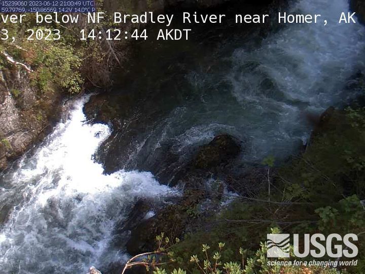
MF Bradley River below NF Bradley River near Homer
MF Bradley River below NF Bradley River near Homer, AK Monitoring location 15239060 is associated with a STREAM in KENAI PENINSULA BOROUGH, ALASKA. Current conditions of DISCHARGE, GAGE HEIGHT, and TEMPERATURE are available. Water data back to 1991 are available online.
MF Bradley River below NF Bradley River near Homer, AK Monitoring location 15239060 is associated with a STREAM in KENAI PENINSULA BOROUGH, ALASKA. Current conditions of DISCHARGE, GAGE HEIGHT, and TEMPERATURE are available. Water data back to 1991 are available online.
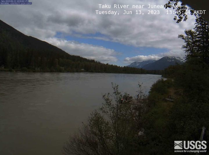
Taku River near Juneau
Taku River near Juneau, AK Monitoring location 15041200 is associated with a STREAM in CITY AND BOROUGH OF JUNEAU, ALASKA. Current conditions of DCP BATTERY VOLTAGE, DISCHARGE, DISSOLVED OXYGEN, and MORE are available. Water data back to 1987 are available online.
Taku River near Juneau, AK Monitoring location 15041200 is associated with a STREAM in CITY AND BOROUGH OF JUNEAU, ALASKA. Current conditions of DCP BATTERY VOLTAGE, DISCHARGE, DISSOLVED OXYGEN, and MORE are available. Water data back to 1987 are available online.
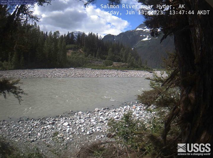
Salmon River near Hyder
Salmon River near Hyder, AK Monitoring location 15008000 is associated with a STREAM in PRINCE OF WALES-HYDER CENSUS AREA, ALASKA. Current conditions of DISCHARGE, DISSOLVED OXYGEN, GAGE HEIGHT, and MORE are available. Water data back to 1963 are available online.
Salmon River near Hyder, AK Monitoring location 15008000 is associated with a STREAM in PRINCE OF WALES-HYDER CENSUS AREA, ALASKA. Current conditions of DISCHARGE, DISSOLVED OXYGEN, GAGE HEIGHT, and MORE are available. Water data back to 1963 are available online.
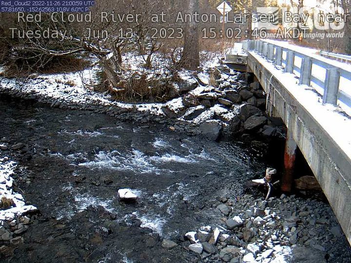
Red Cloud River at Anton Larsen Bay near Kodiak
Red Cloud River at Anton Larsen Bay near Kodiak, AK Monitoring location 15297476 is associated with a STREAM in KODIAK ISLAND BOROUGH, ALASKA. Current conditions of GAGE HEIGHT and STREAMBED ELEVATION AT MEASUREMENT POINT are available. Water data back to 2022 are available online.
Red Cloud River at Anton Larsen Bay near Kodiak, AK Monitoring location 15297476 is associated with a STREAM in KODIAK ISLAND BOROUGH, ALASKA. Current conditions of GAGE HEIGHT and STREAMBED ELEVATION AT MEASUREMENT POINT are available. Water data back to 2022 are available online.
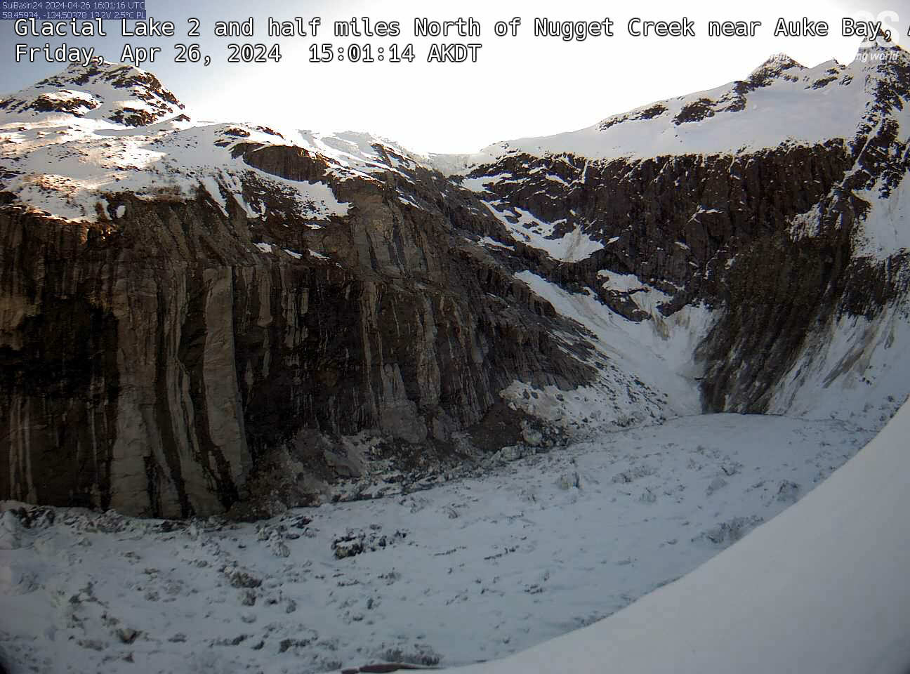
Glacial Lake 2 and half miles
An overlook view of Glacial Lake 2.5 miles North of Nugget Creek near Auke Bay, Alaska.
An overlook view of Glacial Lake 2.5 miles North of Nugget Creek near Auke Bay, Alaska.
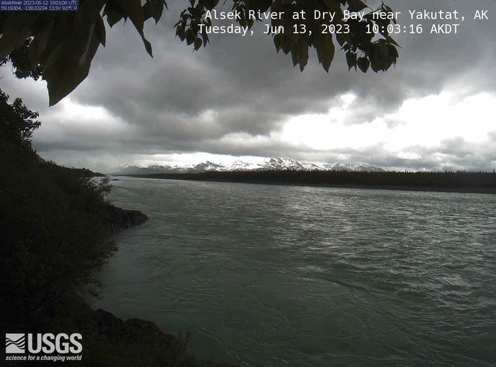
Alsek River at Dry Bay near Yakutat
Alsek River at Dry Bay near Yakutat, AK Monitoring location 15129120 is associated with a STREAM in CITY AND BOROUGH OF YAKUTAT, ALASKA. Current conditions of DISCHARGE, DISSOLVED OXYGEN, GAGE HEIGHT, and MORE are available. Water data back to 2011 are available online.
Alsek River at Dry Bay near Yakutat, AK Monitoring location 15129120 is associated with a STREAM in CITY AND BOROUGH OF YAKUTAT, ALASKA. Current conditions of DISCHARGE, DISSOLVED OXYGEN, GAGE HEIGHT, and MORE are available. Water data back to 2011 are available online.