
Nutrients and Productivity in the Lower Niobrara-Middle Missouri Confluence Area and the 59-mile reach of Missouri River between Gavins Point Dam and Ponca State Park
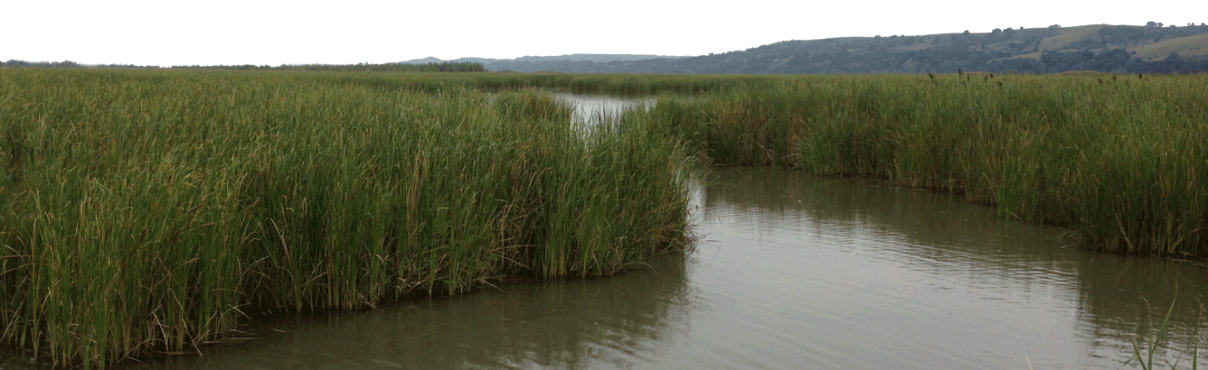
The Niobrara-Missouri Rivers delta at the head of Lewis and Clark Reservoir and the 59-mile reach of Missouri River below Gavins Point Dam are important river ecosystems for a variety of fish species including paddlefish, sauger, catfish and the endangered pallid sturgeon. From August 2015 through August 2016, we collected nutrient and chlorophyll water samples, and nutrient and carbon bed-sediment samples as well as stream metabolism measurements, to determine what, if any, effect the lateral disconnections in the Niobrara-Missouri Rivers delta area and the longitudinal disconnection caused by Gavins Point Dam have on productivity and nutrient transport.
In 2011, a historic flood on the Missouri River inundated the delta and important habitats (marshes, backwaters), scoured primary channels, and filled secondary channels or backwater habitats. Burial of nutrient-rich silty habitats by coarse, flood deposits is hypothesized to have reduced total aquatic production and increased long-term storage of sediment-bound phosphorus and nitrogen. However, nutrients have not been monitored by the U.S. Geological Survey (USGS) in the Missouri River segments feeding the delta and downstream from Gavins Point Dam since before the 2011 Missouri River flood. Denitrification and, to a lesser extent, sedimentation are the primary processes responsible for nitrogen attenuation and sedimentation is the primary mechanism for phosphorus attenuation. Reservoirs can retain nutrients and reduce their downstream transport through settling of sediment-borne nutrients, denitrification, and uptake by algae/plants.
Historically, the median total phosphorus in samples from the Niobrara River near Verdel, Nebraska, was 0.23 milligrams per liter (mg/L), or more than twice the U.S. Environmental Protection Agency (EPA) recommendation of 0.1 mg/L for avoiding algal blooms. In 2014, five rounds of samples at two sites on the lower Niobrara River during June-September produced a mean concentration of total phosphorus that was less than 0.13 mg/L but total phosphorus ranged as large as 0.30 mg/L. By contrast, total phosphorus concentrations were about an order of magnitude less in the Missouri River upstream from the confluence delta, as USGS data from the Missouri River near Verdel for 1990-2005 indicate that 56 percent (n=87) of samples had less than 0.023 mg/L total phosphorus. Similarly at Yankton, downstream of Gavins Point Dam, USGS water samples during 1969-2008 indicate 57 percent (n=112) of samples had not more than 0.030 mg/L total phosphorus. Hence, river connectivity restoration of nutrient delivery from the Niobrara to the Missouri River reaches downstream from Gavins Point Dam could alleviate hypothesized impairment of aquatic productivity that was the postulated cause for observed emaciated fish body conditions.
SCIENCE QUESTIONS
To determine why productivity in the Missouri River may be low, and to test the hypothesis that the 2011 flood may have reduced aquatic production, we are collecting and analyzing data to answer the following questions:
- What are the incoming and outgoing loads of phosphorus to/from the deltaic and open-lake reaches of the riverine system between Verdel, Nebraska, and Yankton, South Dakota?
- How is primary production in the aquatic system affected by the pathways of phosphorus movement through this system?
- What is the magnitude and relative mass balance of exchanges of nutrients (phosphorus) between channels and backwater habitats along the deltaic reaches?
- How extensively were hydraulic habitats in the Niobrara River delta altered by the Missouri River 2011 flood? Have backwater habitats become more disconnected from the main channel?
DATA COLLECTED
From August 2015 through July 2016, we collected nutrient sample, chlorophyll, and bed sediment nutrient and carbon samples as well as stream metabolism measurements, to determine what, if any, effect the lateral disconnections in the Niobrara-Missouri Rivers delta area and the longitudinal disconnection caused by Gavins Point Dam have on productivity and nutrient transport. Specifically, we
- Compared phosphorus and nitrogen-to-phosphorus ratio in river channels upstream of the deltaic reaches (2 stations) with those within the delta (3 stations, each with a channel and backwater substation), and downstream of the reservoir (1 station).
- Samples were collected and analyzed in 2015 and 2016. Probes for continuous turbidity monitoring were deployed at 4 stations (upstream tributary, upstream mainstem, delta headwater primary channel, and delta downstream-end primary channel) as possible surrogate for total phosphorus and total nitrogen concentrations.
- Measured phosphorus and carbon-to-nitrogen ratios in fine-grained sediments of deltaic and open-reservoir reaches.
- Samples were collected and analyzed in 2015 and 2016.
- Measured chlorophyll-a as a surrogate for aquatic production; examine how contrasts in and exchanges of phosphorus along the riverine system are affecting productivity.
- One round each of water and sediment samples was collected in 2015. Field parameters measured, including a vertical profile of dissolved oxygen at backwater sites. A second and third round of water samples was collected in 2016.
The Missouri National Recreational River (MNRR) is one of the few remaining unchannelized sections of the Missouri River and is an important river ecosystem for a variety of aquatic species. Gavins Point Dam bisects the MNRR by creating Lewis and Clark Reservoir. The 59-mile reach of the MNRR is below Gavins Point Dam and natural form and hydrology are affected by the dam. This 59-mile reach of the river is described by state agencies as having low productivity. The cause of low productivity in the reach is not known, but since habitat is diverse, the most likely cause is low allochthonous input of organic matter and nutrients from upstream due to longitudinal disconnect created by the dam.
Further assessment of productivity in the reach and solutions for increasing productivity are needed to sustain the reach of river in a natural state as part of the National Park. Reservoirs can retain nutrients and reduce their downstream transport through settling of sediment-borne nutrients, denitrification, and uptake by algae/plants. Similarly, riparian marsh wetlands like those in the delta have been shown to remove nitrogen, phosphorus, and sediment. Productivity in this reach has been questioned based on observations of low aquatic insect density and diversity and low condition factors in fish. In addition, to the possible affects the deltaic reach, reservoir, and dam have on productivity within the 59-mile reach, invasive species might also be a contributing factor to low productivity. Three Asian carp species are well established below the dam and zebra mussels are now established both above and below Gavins Point Dam.
SCIENCE QUESTIONS
To determine why productivity in the Missouri River may be low we are compiling, collecting, and analyzing data to answer the following questions:
- What data currently exists that will help understand productivity within the 59-mile reach of the Missouri National Recreational River (nutrient data, fish community data, invertebrate data, algal data, chlorophyll-a data)?
- How do dissolved nutrients compare within the main channel of the Missouri River below Gavins Point Dam and the tributaries within the 59-mile reach?
- Could sediments from the tributaries supply needed nutrients to the Missouri River and how does 2015 sediment nutrient data compare to bed material nutrient data collected in 2013?
- Are biological communities of phytoplankton, zooplankton, periphyton, and invertebrates similar to other reaches of the river and how have they changed from 2004-2015 using data available?
- What methods are available and best suited to monitor productivity within this reach of the Missouri River (nutrient monitoring, chlorophyll monitoring, stream metabolism, etc.)?
DATA COLLECTED
In 2015, existing data was retrieved from USGS, EPA, and U.S. Army Corps of Engineers databases. Three main stem Missouri River sites within the 59-mile reach and two tributary sites (James and Vermillion Rivers) were sampled for water and bed sediment nutrients. Phytoplankton chlorophyll A, periphyton chlorophyll A, and invertebrates were also collected at the 3 main stem Missouri River sites.
In 2016, three main stem Missouri River sites within the 59-mile reach were sampled monthly June-August. Sampling focused on primary productivity and differences between main channel sand bar edge habitat and backwater habitat. At all three sites the main channel was sampled for nutrients and phytoplankton chlorophyll A. At two sites a sand bar edge and a backwater were sampled for phytoplankton and periphyton chlorophyll A, light dark bottle productivity rates, and invertebrates.