Shohola Creek near Walker Lake, PA (01432495), streamflow monitoring equipment. (USGS)
Multimedia
Images
Webcams
Multimedia about Pennsylvania's water resources
Images

Shohola Creek near Walker Lake, PA (01432495), streamflow monitoring equipment
Shohola Creek near Walker Lake, PA (01432495), streamflow monitoring equipment. (USGS)

Watts PA flood
Trent Watts, a USGS hydrologic technician, uses an Acoustic Doppler Current Profiler to measure the amount of water flowing in Perkiomen Creek in Graterford, Pennsylvania, on December 18. USGS photo by Cameron Ensor.
Trent Watts, a USGS hydrologic technician, uses an Acoustic Doppler Current Profiler to measure the amount of water flowing in Perkiomen Creek in Graterford, Pennsylvania, on December 18. USGS photo by Cameron Ensor.

Bottled Water
New one-half liter bottles of drinking water ("purified water with minerals added for taste"). (Dan Goode, USGS)
New one-half liter bottles of drinking water ("purified water with minerals added for taste"). (Dan Goode, USGS)

Screenshot of opening page for geonarrative "Hurricane Ida: U.S. Geological Survey Response in Pennsylvania to September 1-2, 2021, Flooding Related to Remnants of Hurricane Ida "
linkScreenshot of title page for "Hurricane Ida: USGS Response in Pennsylvania to September 1-2, 2021, Flooding Related to Remnants of Hurricane Ida" geonarrative.

Pennsylvania state-wide surface water PFAS study
This map shows 161 sites across Pennsylvania that were sampled for PFAS concentrations. The color coding indicates PFAS concentration levels at each site. USGS image.
This map shows 161 sites across Pennsylvania that were sampled for PFAS concentrations. The color coding indicates PFAS concentration levels at each site. USGS image.

Distributions: Hazards - Flooding in Norristown, PA during Hurricane Ida September 2021
A 3D aerial view of Norristown, Pennsylvania shows where the Schuylkill River passes through the city. The water in the river is shown in bright blue, while the surrounding city is shown in natural color.
A 3D aerial view of Norristown, Pennsylvania shows where the Schuylkill River passes through the city. The water in the river is shown in bright blue, while the surrounding city is shown in natural color.
Videos

Field Trip with PAWSC staff to a Delaware River NGWOS station in Philadelphia, Pennsylvania
The Delaware River is rich in history, ecologically diverse, and critical to the regional economy. Water managers in this basin have a long history of applying innovative, regional solutions to ensure the long-term sustainability of this treasured resource which provides drinking water to over 15 million people in the region.
The Delaware River is rich in history, ecologically diverse, and critical to the regional economy. Water managers in this basin have a long history of applying innovative, regional solutions to ensure the long-term sustainability of this treasured resource which provides drinking water to over 15 million people in the region.
Webcams
Susquehanna River at Towanda, PA (01531500)
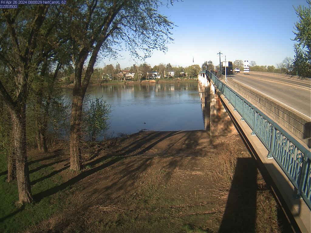
West Branch Susquehanna River at Lewisburg, PA (01553500)
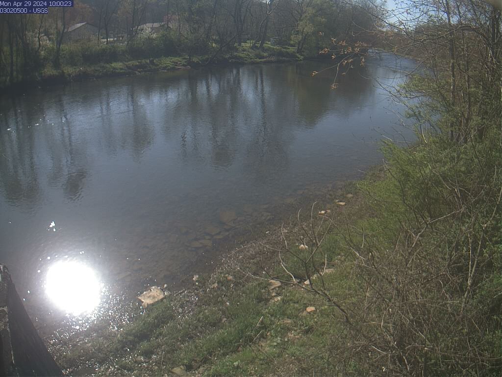
Oil Creek at Rouseville, PA (03020500)
Allegheny River at Franklin, PA (03025500)