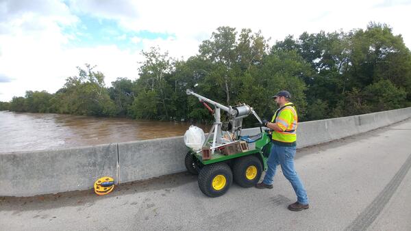
Borehole Extensometer
Borehole extensometers are highly sensitive instruments which measure aquifer compaction. This infographic explains the various parts of a borehole extensometer, and is modeled after the USGS extensometer at Nansemond, Virginia.