
Water rushes over boulders to form rapids. Photo is from a river in western Washington State.
Multimedia
Multimedia products allow us to distribute information to the public. The Washington Water Science Center has a variety of materials available, including videos and images.
Images

River rapids
Water rushes over boulders to form rapids. Photo is from a river in western Washington State.

Moclips River Stormwater Assessment Site
Stormwater assessment site on the Moclips River Near Moclips, WA on the Quinault Indian Nation Tribal land.
Stormwater assessment site on the Moclips River Near Moclips, WA on the Quinault Indian Nation Tribal land.

Pacific Lamprey Habitat
Type 1 Pacific lamprey habitat on the Klickitat River near Glenwood, WA. Type I (preferred) lamprey habitat that consists of a mixed substrate of silt, clay, organic matter, and sand.
Type 1 Pacific lamprey habitat on the Klickitat River near Glenwood, WA. Type I (preferred) lamprey habitat that consists of a mixed substrate of silt, clay, organic matter, and sand.

Tidal flux measurement in Sinclair Inlet
Scientists demonstrate equipment used to measure fluxes between groundwater and surface water. These interactions are particularly complex in tidally influenced shorelines such as Sinclair Inlet, WA.
Scientists demonstrate equipment used to measure fluxes between groundwater and surface water. These interactions are particularly complex in tidally influenced shorelines such as Sinclair Inlet, WA.

Tidal seepage measurement
A seepage meter implanted in the sediment-water interface of a tidal beach. The meter allows scientists to measure interactions between groundwater and surface water.
A seepage meter implanted in the sediment-water interface of a tidal beach. The meter allows scientists to measure interactions between groundwater and surface water.

Low tide at Sinclair Inlet
Scientists prepare for a geophysical survey of the shoreline at Sinclair Inlet, WA. The survey will provide information about the interactions between groundwater and surface water in this complex tidal system.
Scientists prepare for a geophysical survey of the shoreline at Sinclair Inlet, WA. The survey will provide information about the interactions between groundwater and surface water in this complex tidal system.
Videos

What Does a USGS Hydrologic Technician Do
What do USGS Hydrologic Technicians do on the job? This video features five different Hydrologic Technicians from Washington Water Science Center and Nevada Water Science Center sharing some of their work. This video was sponsored by the USGS Hydrologic Data Advisory Committee.
What do USGS Hydrologic Technicians do on the job? This video features five different Hydrologic Technicians from Washington Water Science Center and Nevada Water Science Center sharing some of their work. This video was sponsored by the USGS Hydrologic Data Advisory Committee.

Using a Continuous Flow Centrifuge to Collect Suspended Sediment
Kathy Conn, a U.S. Geological Survey Water Quality Specialist, demonstrates a new USGS field method using a continuous flow centrifuge to collect suspended sediment from large volumes of water in the Duwamish River near Seattle Washington.
Kathy Conn, a U.S. Geological Survey Water Quality Specialist, demonstrates a new USGS field method using a continuous flow centrifuge to collect suspended sediment from large volumes of water in the Duwamish River near Seattle Washington.

White Salmon River Riverine Dune Formation/Destruction
Following the Condit Dam removal, a significant amount of bedload sediment was transported downstream. As the material moved along the river bottom, dunes began to form then collapse. This dune formation is seen through the waveform action as the stream's normal laminar flow is replaced by whitecap wave forms before returning, once again, to laminar flow.
Following the Condit Dam removal, a significant amount of bedload sediment was transported downstream. As the material moved along the river bottom, dunes began to form then collapse. This dune formation is seen through the waveform action as the stream's normal laminar flow is replaced by whitecap wave forms before returning, once again, to laminar flow.
Webcams
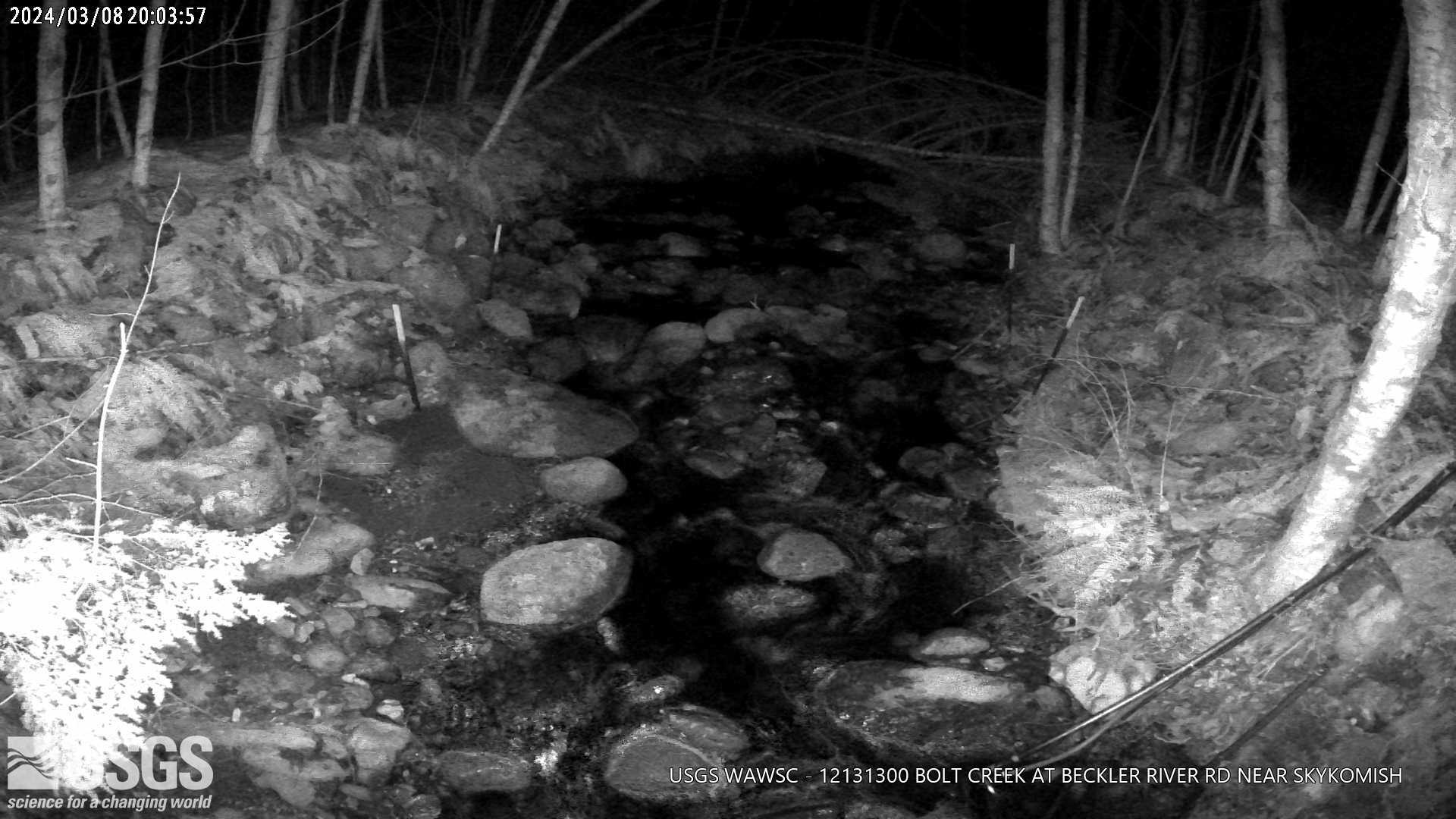
Bolt Creek at Beckler River RD Near Skykomish, WA
This webcam is located at USGS streamgage 12131300 - Bolt Creek at Beckler River RD Near Skykomish, WA. The site was established in 2023 to monitor post-fire hydrology and sediment transport.
This webcam is located at USGS streamgage 12131300 - Bolt Creek at Beckler River RD Near Skykomish, WA. The site was established in 2023 to monitor post-fire hydrology and sediment transport.
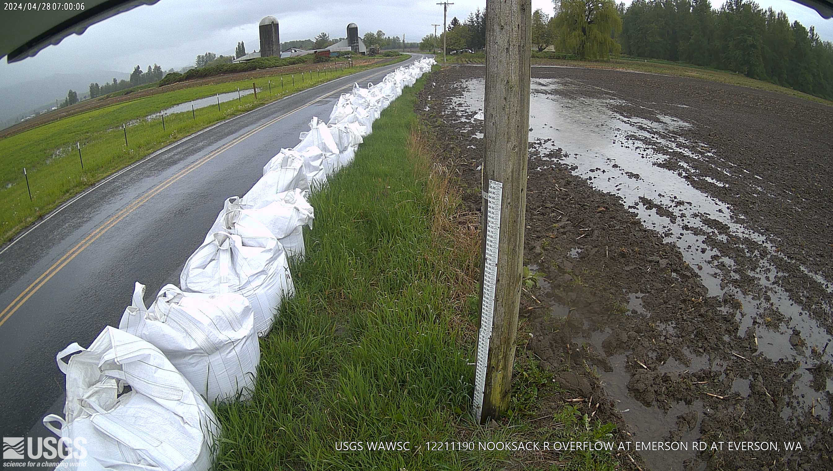
Nooksack River Overflow at Emerson Road at Everson, WA
Nooksack River Overflow at Emerson Road at Everson, WA. Check out this webcam to see the latest river conditions.
Nooksack River Overflow at Emerson Road at Everson, WA. Check out this webcam to see the latest river conditions.
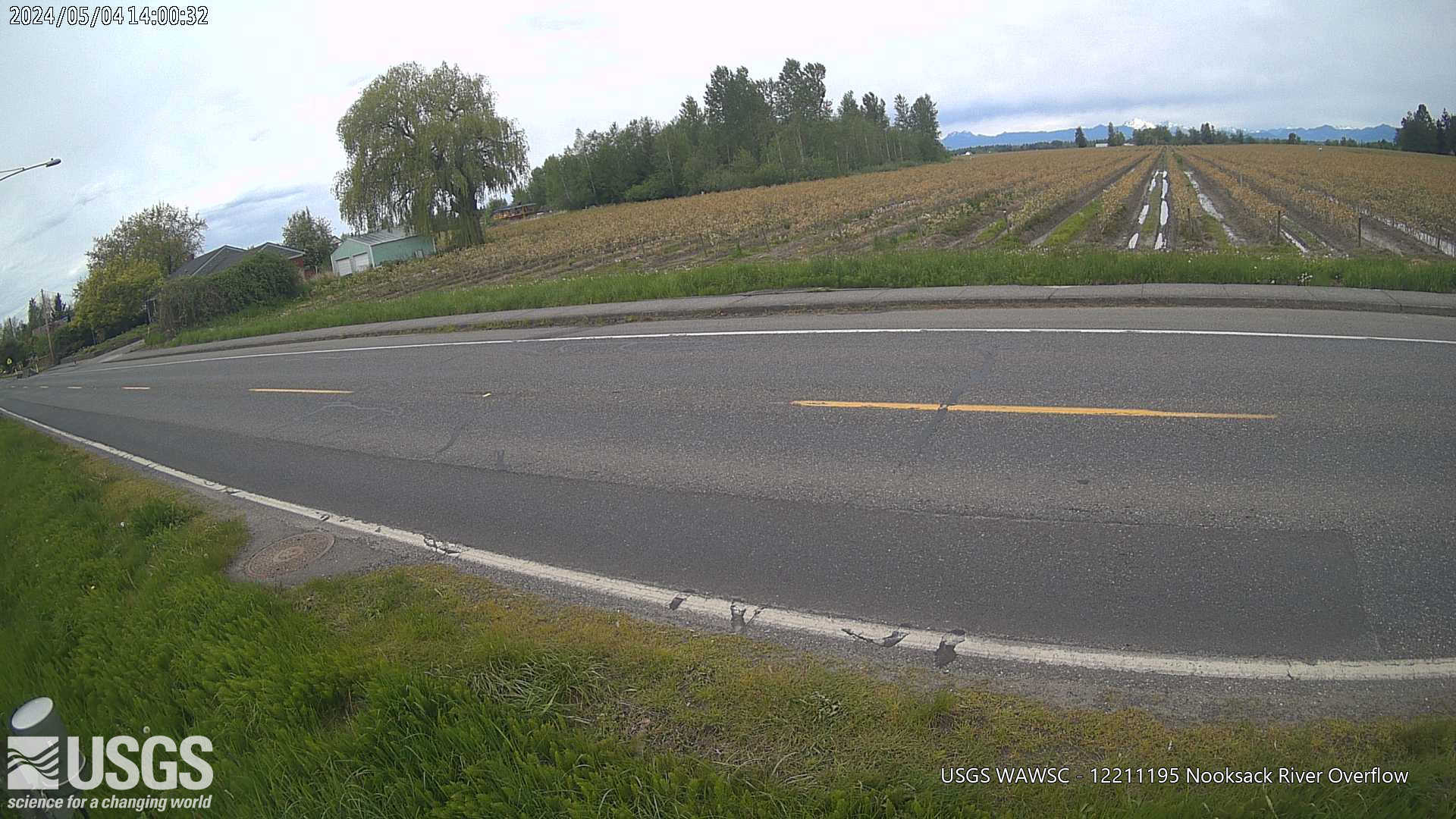
Nooksack River OVERFLOW
Nooksack River OVERFLOW at Highway 554 at Everson, WA. Check out this webcam to see the latest river conditions.
Nooksack River OVERFLOW at Highway 554 at Everson, WA. Check out this webcam to see the latest river conditions.
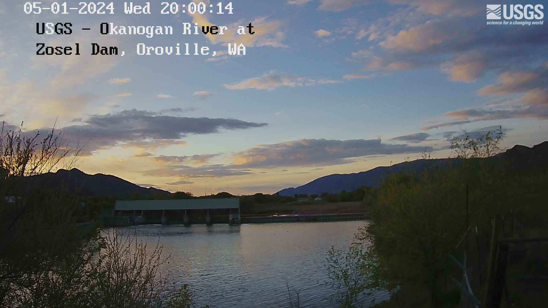
Okanogan River at Zosel Millpond at Oroville
This webcam is located at USGS streamgage 12439500 - Okanogan River at Oroville, WA. Near real-time flow and water temperature data are available at this location. Water data back to 1914 are available online.
This webcam is located at USGS streamgage 12439500 - Okanogan River at Oroville, WA. Near real-time flow and water temperature data are available at this location. Water data back to 1914 are available online.
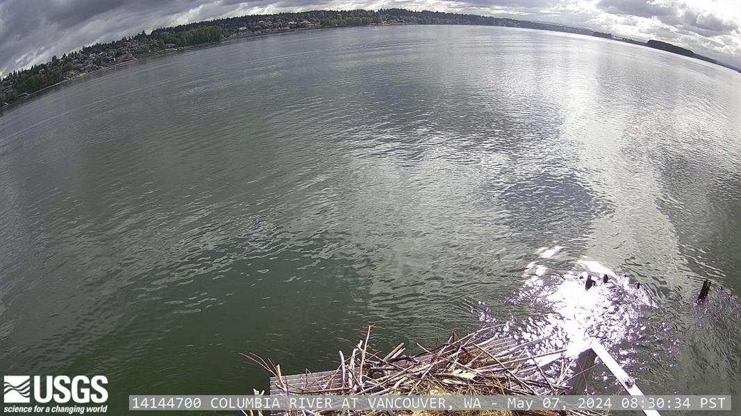
Columbia River at Vancouver
This webcam is located at USGS streamgage 14144700 - Columbia River at Vancouver, WA. The Columbia River is tidally influenced at this location and the station provides continuous monitoring of river flow and suspended sediment.
This webcam is located at USGS streamgage 14144700 - Columbia River at Vancouver, WA. The Columbia River is tidally influenced at this location and the station provides continuous monitoring of river flow and suspended sediment.
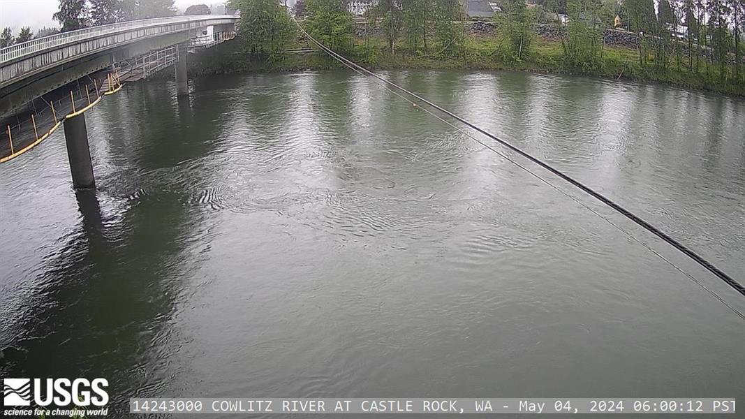
Cowlitz River at Castle Rock
This webcam is located at USGS streamgage 14243000 - Cowlitz River at Castle Rock, WA. Near real-time flow and water turbidity data are available at this location. Water data back to 1926 are available online.
This webcam is located at USGS streamgage 14243000 - Cowlitz River at Castle Rock, WA. Near real-time flow and water turbidity data are available at this location. Water data back to 1926 are available online.