



A Path to National-Scale Coastal Change Projections
A new USGS-led study reviews the current information and products available to inform what, when, and where coastal change may occur in the future and provides recommendations for improving predictions on a national scale.
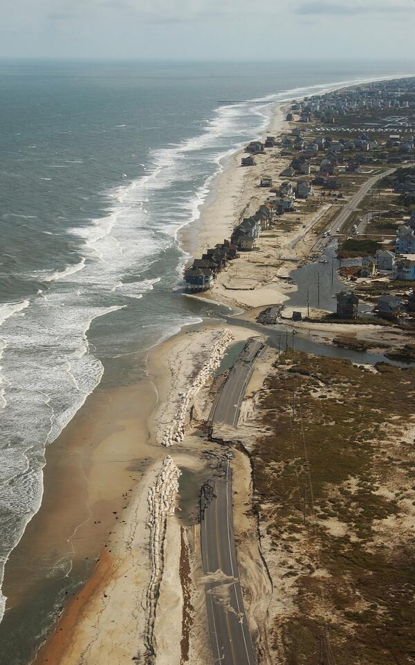
Our coastal landscapes are constantly changing due to rapid events, like storms, and longer-term processes, such as sea level rise and erosion. Where earlier communities lived more flexibly with a moving shoreline, today’s developed coasts often depend on keeping the shoreline in a fixed position. This reduces natural resilience and increases risks when storms, sea level rise, or erosion push against engineered limits.
To effectively plan for the future, coastal managers need more than flood maps. They need to know where, when, and what kind of change is likely to occur over years, decades, and generations so they can identify potential hazards and make informed decisions that help safeguard coastal communities, infrastructure, local economies, national security, and important ecosystems.
A new scientific paper, Challenges and Opportunities for National‑Scale Projections of Future Coastal Landscape Change, shows that while scientists have made major strides in understanding the processes that shape the coast, several challenges hinder the development of national, actionable landscape change predictions. For instance:
Models typically only work at narrow scales. Highly detailed models work for individual sites but are difficult to apply nationwide, and broad regional models often lack the detailed needed for decision making.
It’s difficult to connect short-term events with long-term trends. One storm can reshape the coast overnight, while sea level rise shapes our coast gradually. Linking these time scales is a major challenge.
Human behavior is rarely integrated into forecasts. Decisions such as building seawalls, adding sand to beaches, elevating structures, or restoring wetlands can significantly shape future landscapes.
Data coverage is inconsistent. Some areas have excellent monitoring; others have major gaps. A national framework requires more complete, accessible, and consistent observational data.
After analyzing the current state of coastal landscape change science and identifying these challenges, the authors make clear recommendations for how to create a national, coordinated framework that produces consistent, usable coastal landscape change projections across the United States.
Five Steps to Bring a National Coastal Landscape Change Framework to Life
Evaluate and compare available models. No one model can do everything. A successful national framework would rely on leveraging strengths and minimizing weaknesses of different approaches.
Media Sources/Usage: Public Domain. View Media Details
Collect and analyze new and existing observational data to improve calibration and understanding of model performance. This requires more consistent measurements, better access to lidar, satellite, aerial, and drone datasets, and utilization of machine learning and artificial intelligence (AI).
Media Sources/Usage: Public Domain. View Media Details
Advance modeling capabilities by integrating machine learning methods. This enables the analysis of large datasets, as well as coastal change projections across spatial and temporal scales—reducing the expense of using traditional process-based models. Machine learning, integrated with observational data, would help researchers validate models and fill data gaps that currently limit national projections.
Media Sources/Usage: Public Domain. View Media Details
Prioritize collaborative development with end users so products are actionable and meaningful. A national framework needs to reflect the needs of coastal decision makers. The study highlights the importance of involving users early, identifying the most useful forms of information, providing tools that communities can easily interpret and apply, and supporting specialists who facilitate engagement.
Media Sources/Usage: Public Domain. View Media Details
Invest in transdisciplinary research and training to ensure teams can integrate complex physical, ecological, and human processes. This includes building research teams with diverse expertise and supporting long-term partnerships across governmental agencies, academia, and communities.
Media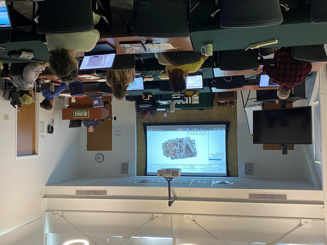 Sources/Usage: Public Domain. View Media Details

This study makes one conclusion unmistakably clear: a patchwork of disconnected tools cannot fully support national coastal resilience.
By building a coordinated national-scale framework, coastal managers would gain access to more reliable information about how our coastlines may change—allowing them to determine potential hazards and how best to reduce risks to communities.
This effort will require scientific collaboration, long-term investment, innovative science, and strategic engagement with end users. While it’s not an easy task, it is certainly worth the work.