
USGS Data Sets
Below are links to USGS data sets, with information on what you will find there.
These are access directly into the data. If you are looking for data tools or lessons using data, please follow one of the other tabs.

National Water Dashboard
What: Every USGS Stream gage with real time data.
You'll find: Stream flow, water lever, water levels. water quality, for surface water and ground water throughout the US and Territories.
Use For: Graphing water flow, monitoring floods, calculating flood risk, understanding stream behavior, connecting weather data to streamflow, mapping flood and drought conditions.
Data Skills: graphing, calculations, evaluating trends, understanding hydrographs


Water Quality Data
What: The chemical, physical, and biological properties of water from over 2000 sites aross the nation.
You'll Find: current data, historical data, and statistical data that can be graphed on site, or downloaded by location
Use For: Environmental science, chemistry, ecosystem health, municipal water supply, environmental justice, change over time
Data Skills: graphing, evaluating trends

Predictions of Western bumble bee occurrence across time and space
What: These data represent occupancy estimates for western bumble bee across the western conterminous United States.
You'll Find: A map of historic, current and future distributions of bumble bees.
Next You Can: Students can view distributions of bumble bees on a map and learn GIS and other mapping concepts.
Use for: Ecosystems, future projection, wildlife biology
Data Skills: GIS, mapping concepts, spatial analysis

CreelCat
What: A collection of creel and angler survey data from over 40 states as well as Washington DC and Puerto Rico.
You'll Find: A database and interactive tool for inland fisheries management and research
Next you can: Students can view and filter data sets, create charts, create maps, and summarize the data.
Use for: Environmental sciences, conservation and management research
Data Skills: Data visualization, data summarization, mapping, scatter plots, time series plots, bar charts, pie charts
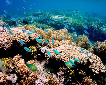
Ocean Biodiversity Information System (OBIS)
What: OBIS is a global open-access data and information clearing-house on marine biodiversity for science, conservation and sustainable development.
You'll Find: Datasets of biological occurrences in the ocean.
Next You Can: Students can view data sets of various occurrences of ocean biodiversity.
Use for: Biodiversity, Data Standardization and Interoperability
Data Skills: Graphing, spatial and temporal analysis, mapping