
Research Expedition Collects Cores, Geophysical Data from Cascadia Subduction Zone
To better understand the geophysical characteristics and seismic history of the Cascadia Subduction Zone, USGS researchers conduct fieldwork at sea to collect evidence of turbidity currents from underwater landslides likely caused by earthquake shaking.
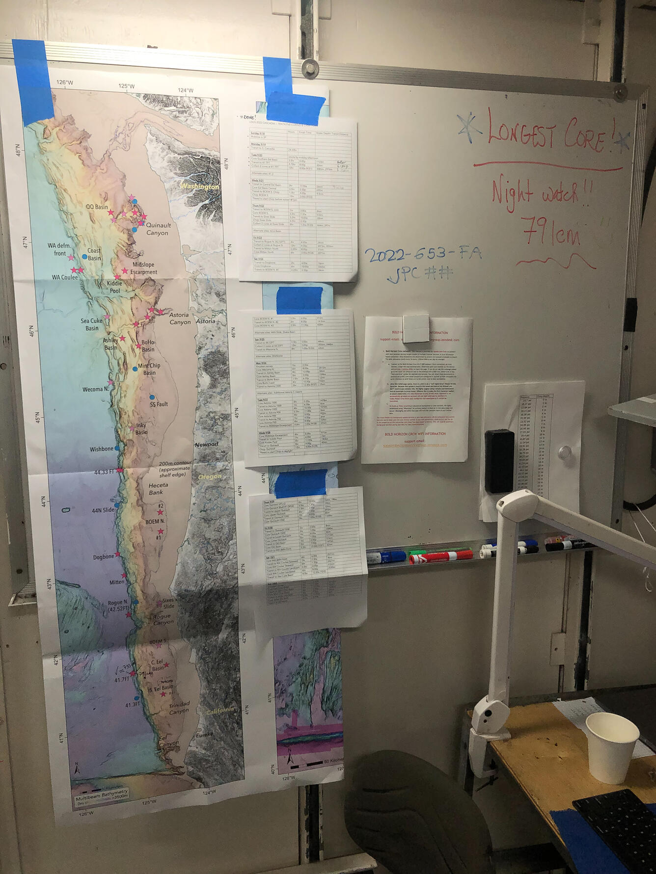
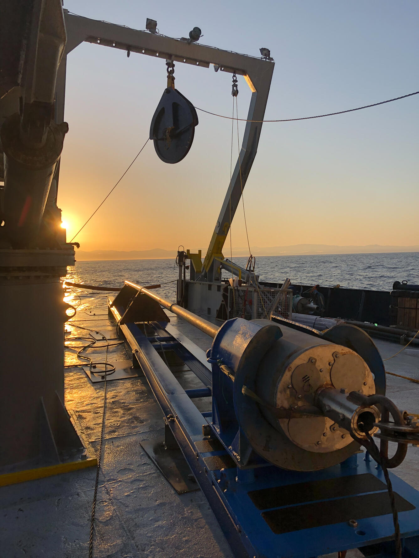
Crews aboard the research vessel operate 24 hours a day, working 12-hour shifts. Researchers conduct sonar surveys to visualize the contours of the seafloor with sound. These data make it possible to locate underwater landslides, image layered sediments characteristic of turbidity current deposits, and identify faults beneath the seafloor.
Researchers can then better target where to collect sediment cores, which are analyzed back on shore, by being are split, photographed, scanned, and described in a lab. Samples are also collected for radiometric dating to reveal details about when the earthquakes and landslides occurred. Additionally, cores collected on either side of a fault can help determine how recently or by how much the fault has moved.
Subduction zones are the source of some of the largest earthquakes in recorded history. Understanding how these tectonic margins behave—where, how often, and how much they move—is critical to assessing the potential hazards they pose to communities and infrastructure.


Related

Cascadia Subduction Zone Marine Geohazards

EXPRESS: Expanding Pacific Research and Exploration of Submerged Systems
Related
Cascadia Subduction Zone Marine Geohazards