
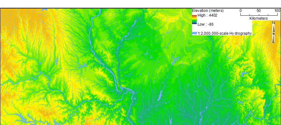
100-m resolution elevation model of section of Eastern Great Plains
By Center of Excellence for Geospatial Information Science (CEGIS)
2017 (approx.)

Detailed Description
The above image shows Eastern Great Plains and Central Interior Appalachian landscape features spanning much of Missouri, Illinois, and Indiana as depicted with a 100-meter resolution elevation model overlain with 1:2,000,000-scale hydrographic features.
Sources/Usage
Public Domain.