
3D Scan of the Fault Surface Rupture

Detailed Description
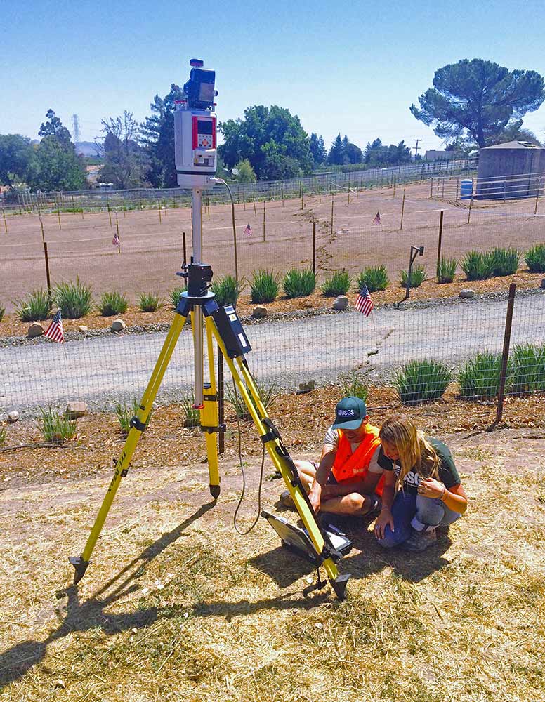
USGS geologists responded to the 2014 South Napa Earthquake using tripod and mobile laser scanning technology to map and measure the deformation that occurred at the Earth’s surface. Here, USGS student interns create a 3D scan of the fault surface rupture trace through a horse paddock.
Sources/Usage
Public Domain.