
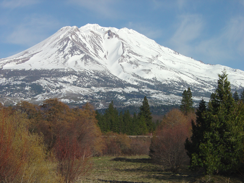
A photo of Shastina.
By Geology and Ecology of National Parks
June 1990 (approx.)

Detailed Description
This zoomed-in view shows the bowl-shaped cirque and avalanche chute on the northwest side of Shastina. This photograph was taken in the town of Weed near the intersection of Interstate 5 and US Highway 97.
Sources/Usage
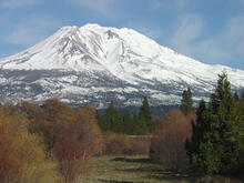
A photo of Shastina.