
California Wildfires
Detailed Description
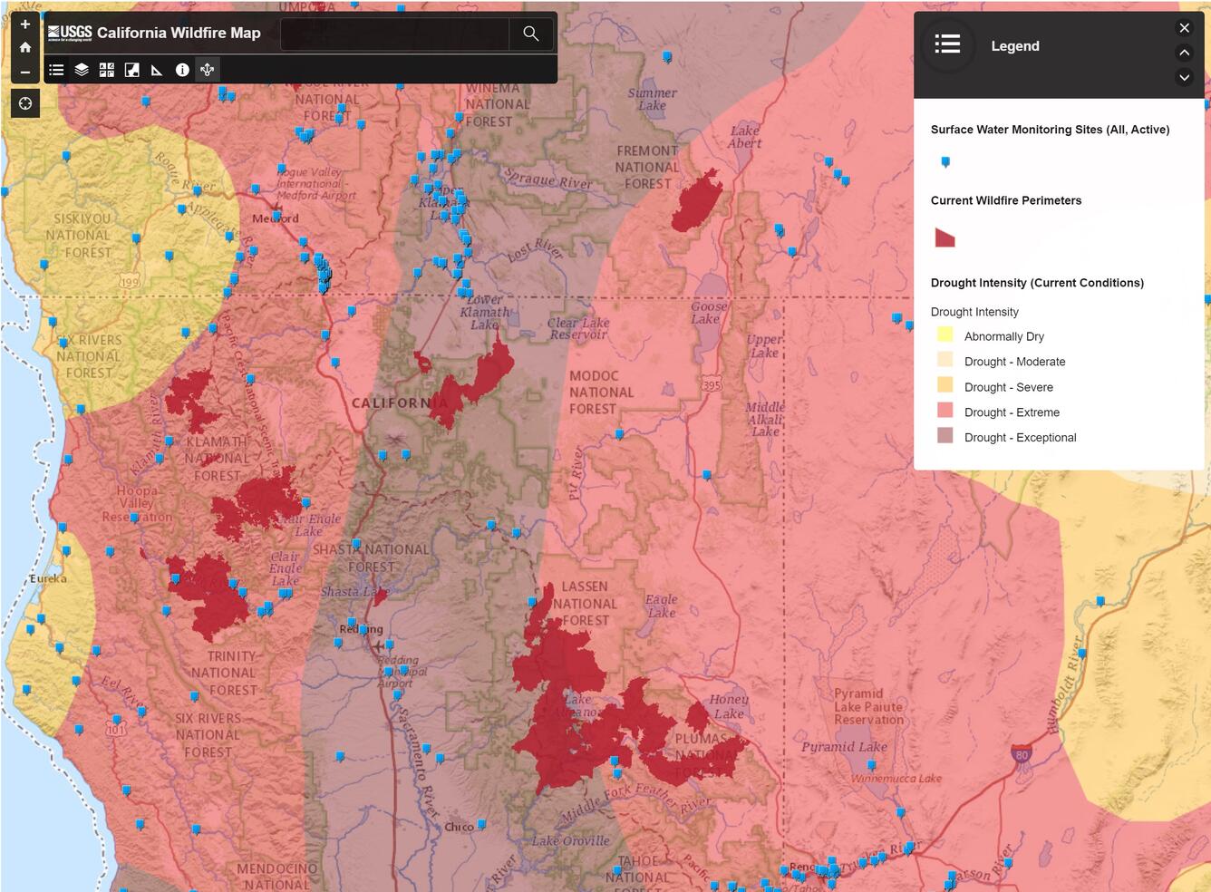
Mapping application that allows viewing of wildfire and hydrologic data for California.
Wildfire can significantly alter the hydrologic response of a watershed to the extent that even modest rainstorms can produce dangerous flash floods and debris flow, and water quality within and downstream from a burn area may be significantly impacted. Knowing the location and extent of wildfire events that effect California may help scientists and resource managers predict and manage potential impacts burns may have upon California's water quality, availability, and movement.
Sources/Usage
Public Domain.