
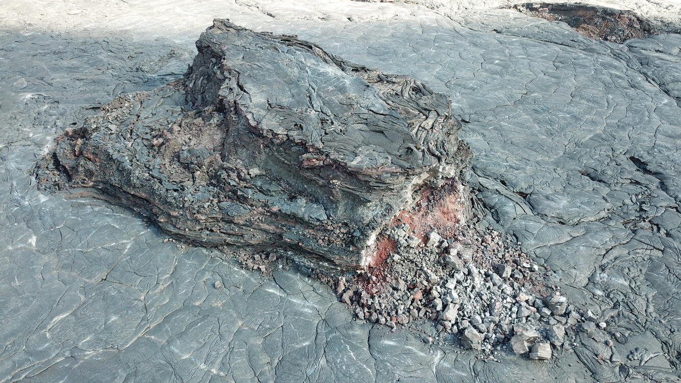
Close-up of island in eastern portion of Halema‘uma‘u lava lake
Detailed Description
This close-up Unoccupied Aircraft Systems (UAS) photo of an island in the crusted-over eastern portion of the Halema‘uma‘u lava lake was captured on Tuesday, March 16, 2021. Cooling and thermal contraction have caused some of these islands to break apart, as seen in the lower-right of this photo, where some of the island's red, oxidized interior is exposed. Though considerably smaller than the main island in the lava lake, this island still measures approximately 80 m (262 ft) from end-to-end.
UAS photos like this help scientists to understand ongoing lava lake processes with their associated hazards, and to detect changes that might indicate shifts in the character of eruptive activity. USGS has special use permits from the National Park Service to conduct official UAS missions as part of HVO's mission to monitor active volcanoes in Hawaii, assess their hazards, issue warnings, and advance scientific understanding to reduce impacts of volcanic eruptions. Launching, landing, or operating an unmanned aircraft from or on lands and waters administered by the National Park Service within the boundaries of Hawai‘i Volcanoes National Park is prohibited under 36 CFR Closures & Public Use.
Sources/Usage
Public Domain.