
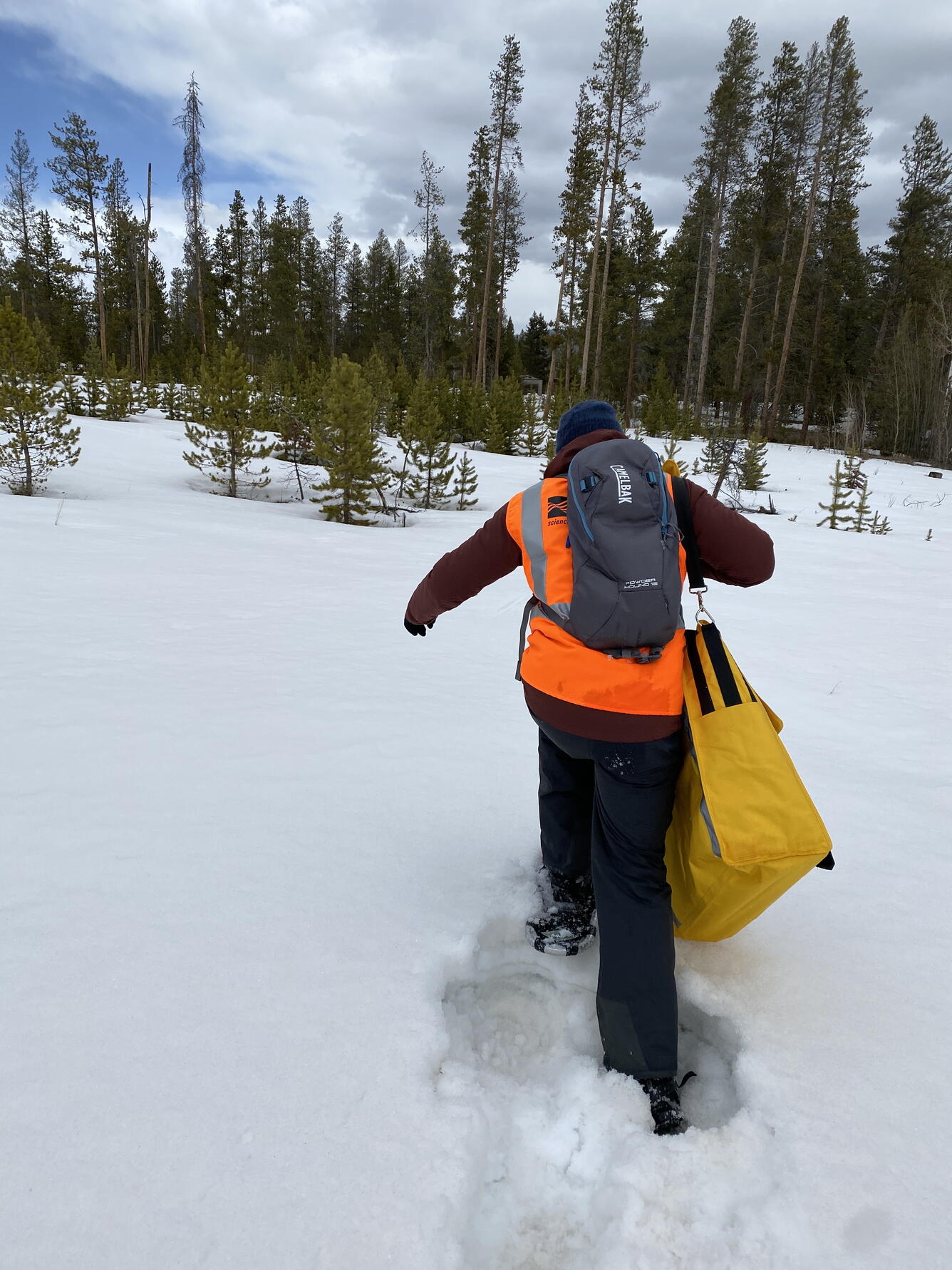
USGS scientist snowshoeing in Winter Park Colorado to place UAS ground control targets
Detailed Description
Have you heard about biking to work? Well, how about trying snowshoeing to work?
In this photo, Mark Bauer (USGS NUSO) snowshoeing into the Devils Thumb Ranch site in Winter Park Colorado to place ground control targets. GPS data from ground control targets is critical for the positional and geometric accuracy of data products derived from UAS collected imagery.
NUSO scientists teamed with the USGS Water Resources Mission Area in a multi-year data collection effort to help develop and verify a process for generating snow depth measurements from UAS-collected LiDAR data from 2020 to 2022. This ability to calculate centimeter-level snow depth measurements from remotely sensed data also contributes to the USGS Next Generation Water Observing System (NGWOS) goal of remotely sensed mapping of snow conditions to better forecast snowmelt runoff in Colorado watersheds.
Sources/Usage
Public Domain.