
Mod-FIS SE
Detailed Description
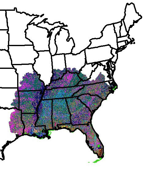
This map depicts an area in the southeast part of the U.S. where the LANDFIRE Modeling Dynamic Fuels with an Index System, or MoD-FIS, primarily based on the Keetch-Bynam Drought Index, provides in-season updates of fuel vegetation availability in that area.
Sources/Usage
Public Domain.