
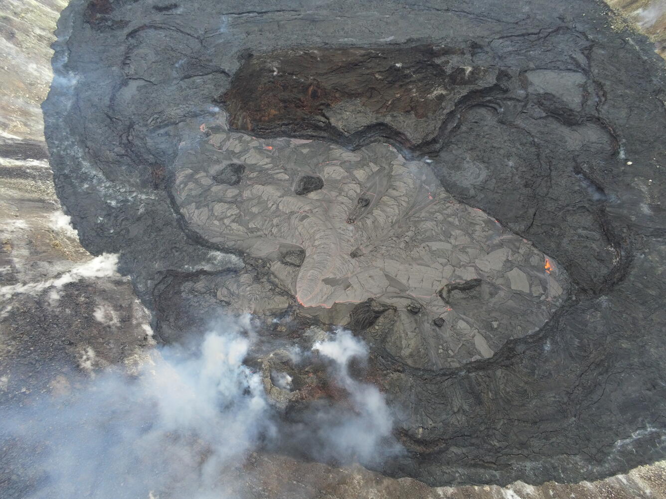
UAS photo of active portion of Halema‘uma‘u lava lake—March 16
Detailed Description
This Unoccupied Aircraft Systems (UAS) photo provides an overview of the active western portion of the Halema‘uma‘u lava lake within Kīlauea caldera from Tuesday, March 16, 2021. The western fissure (lower-center) on the northwest side of Halema‘uma‘u was feeding lava through two submerged inlets to the active lake, which measured approximately 340 m (1115 ft) long from northeast (upper-left) to southwest (lower-right) at the time.
UAS photos like this help scientists to understand ongoing lava lake processes with their associated hazards, and to detect changes that might indicate shifts in the character of eruptive activity. USGS has special use permits from the National Park Service to conduct official UAS missions as part of HVO's mission to monitor active volcanoes in Hawaii, assess their hazards, issue warnings, and advance scientific understanding to reduce impacts of volcanic eruptions. Launching, landing, or operating an unmanned aircraft from or on lands and waters administered by the National Park Service within the boundaries of Hawai‘i Volcanoes National Park is prohibited under 36 CFR Closures & Public Use.
Sources/Usage
Public Domain.