
Unmanned Aerial System
By New Mexico Water Science Center
February 2018 (approx.)
Detailed Description
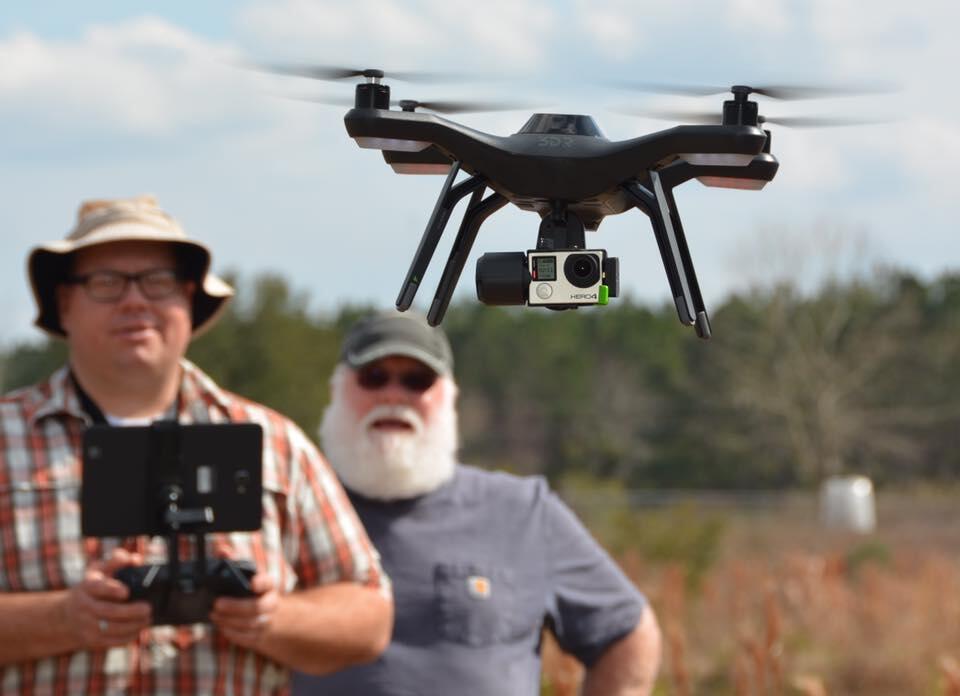
Jeb Brown (USGS NMWSC, left) and Dale Fowler (Office of Aviation Services, right) attended remote Unmanned Aerial Systems (UAS) pilot training at the USGS Wetland and Aquatic Research Center in Gainesville, Florida. UAS are increasingly being used to for scientific purposes such as: modeling streamflow, land use change,
geomorphic processes, vegetation surveys, wildlife surveys, and aerial mapping, among others. As a remote pilot licensed by the Department of the Interior, Jeb Brown will begin flying missions to answer a variety of these questions.
Sources/Usage
Public Domain.