
Using a laser ranger finder to measure Kīlauea summit eruption
By Kīlauea
Detailed Description
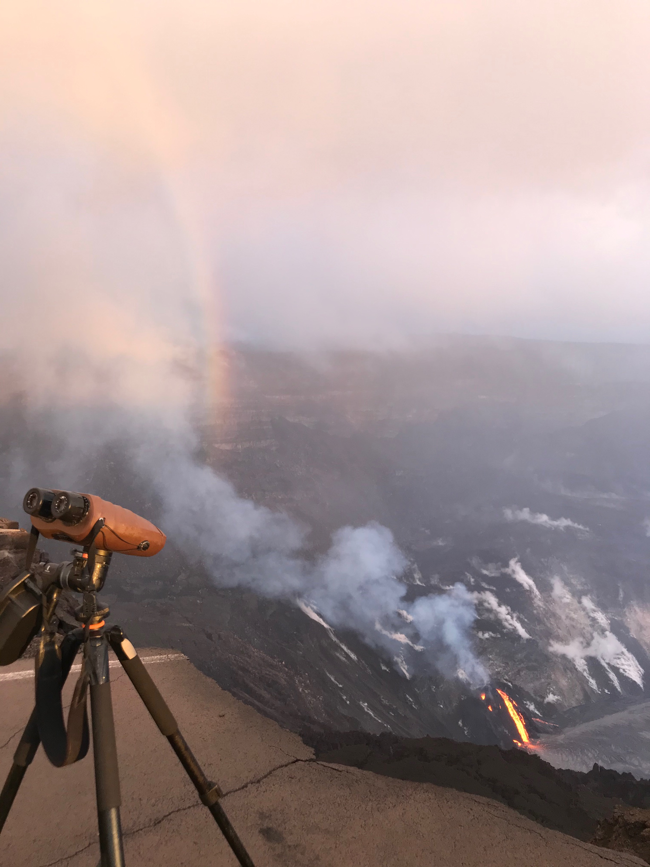
HVO field crews have been using a laser range finder to measure the vertical distance between points of known elevation and features of the ongoing eruption, such as the lava lake surface level and the erupting vents. This morning, the eruption continues at the west vent in Halema‘uma‘u, and streams of lava about 40 m (131 ft) pour from the vent to the lava lake surface. USGS photo by C. Parcheta.
Sources/Usage
Public Domain.