Landsat Anniversary Marks a Half-Century of Earth Selfies
Fifty years ago, a USGS-NASA partnership launched the modern era of Earth observation
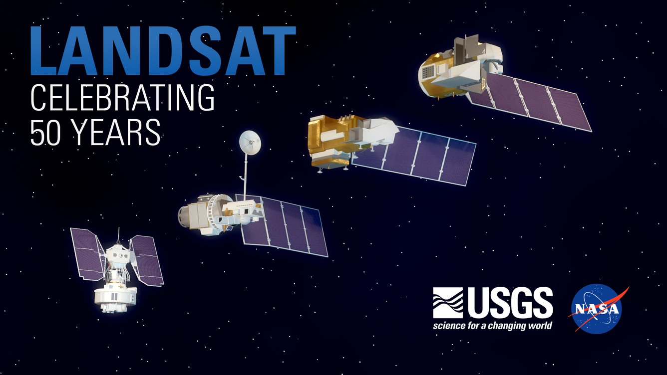
The U.S. Geological Survey and NASA celebrate the 50th anniversary of Landsat on July 23, 2022. The U.S. Landsat program of Earth observation satellites has produced the world’s longest continuously acquired collection of space-based land observations.
Sioux Falls, S.D.—The U.S. Geological Survey and NASA are celebrating a half-century of non-stop Earth observation from space with the golden anniversary of the Landsat program, which was first launched to record satellite images of Earth on July 23, 1972.
“For 50 years, the Landsat program has documented the conditions on the Earth. Now, in the face of historic droughts, fires, and extreme weather events accelerated by climate change, it is more important than ever for us to continue this program into the future for the next 50 years,” said Tanya Trujillo, Interior’s Assistant Secretary for Water and Science. “There is no better source of information to document the changes happening to our planet’s landscapes—and we need this continuous record to help our communities become more resilient to the dramatic effects we are seeing.”
In 1972, NASA, the world’s leading space exploration experts, and the USGS, an agency within the Department of the Interior that already had almost 100 years of groundbreaking scientific study of Earth systems under its belt, joined forces to launch the first Landsat satellite into orbit. As with every subsequent iteration of the program, NASA built and launched the satellite and then handed the reins over to the USGS for operational control.
“As we continue the work to understanding our planet in the face of climate change, Landsat’s unique data and record of our changing Earth has proven invaluable,” said NASA Administrator Bill Nelson. “Over the past 50 years, eight Landsat satellites have circled the planet, which have helped to save and improve lives and support our economy. NASA will continue to work with USGS to improve access to Landsat’s unprecedented 50-year record and build on the program’s legacy.”
“Landsat’s legacy and impressive data record is something to be celebrated,” said Karen St. Germain, NASA’s Earth Science Division director. “Beyond the 50-year continuous record of how Earth’s land surfaces have changed, at NASA, we’re proud to work with our partners at the USGS to provide free and open access to Landsat data. This information has helped researchers and communities around the world monitor Earth’s natural resources, from crop growth to forest management, and plan for the future as we adapt to a changing planet.”
The Landsat program introduced a powerful tool to detect, catalog and analyze long-term changes in Earth’s land surfaces, surface waters and coastlines using satellite remote sensing. It allowed scientists to see the world—in other words, for us to see ourselves—changing through time in a comprehensive, thorough and objective way. It allowed us to see our cities grow, our wildlands morph, our oceans advance and our glaciers recede. It enabled us to track the impacts of wildfires, hurricanes, earthquakes and volcanoes, and the myriad indelible marks of climate change.
In 2008, the USGS made access to the entire Landsat catalog of Earth imagery open and at no cost to the world, vastly expanding public access and use of the data for Earth science applications, education and environmental justice. The world’s largest collection of remotely-sensed imagery is served up from the USGS’s Earth Resources and Observation Science Center, known as EROS.
“Many people have no idea how Earth imagery has improved their daily lives as it has become integrated into modern technologies,” said Kevin Gallagher, the USGS Associate Director for Core Science Systems. “Like GPS and weather data, information from Landsat is woven into the fabric of our economy and society.”
Commercial vendors use Landsat as a reference to improve their own imagery and to develop new products and services. Governments, industry and non-profits use Landsat to detect and contain wildfires, increase worldwide crop production, identify famine risks, conserve water and control forest-killing diseases. Landsat also provides a unique and impartial record for understanding our changing global climate and addressing its impacts on people, places and wildlife.
Landsat data are used every day to help us better understand and sustainably manage our dynamic planet. With the mission now at its 50-year milestone, the USGS and NASA are looking ahead to extending and improving its data record through their successor mission, Landsat Next.
“Landsat Next will offer major improvements over today’s satellites to support even better science, public services and commercial innovations,” Gallagher said. “And its future capabilities will also leverage key commercial and international partnerships to meet an even wider range of our users’ growing needs.”
To learn more about Landsat and explore Earth imagery visit: https://www.usgs.gov/landsat-missions
# # #
USGS provides science for a changing world. Learn more at www.usgs.gov or follow us on Twitter @USGS, Instagram @USGS, or Facebook @USGeologicalSurvey.
Get Our News
These items are in the RSS feed format (Really Simple Syndication) based on categories such as topics, locations, and more. You can install and RSS reader browser extension, software, or use a third-party service to receive immediate news updates depending on the feed that you have added. If you click the feed links below, they may look strange because they are simply XML code. An RSS reader can easily read this code and push out a notification to you when something new is posted to our site.


