
Hours before Japan was struck by the 2011 Tōhoku earthquake and the ensuing catastrophic tsunami, John Schelling spoke at a public meeting in the coastal community of Oceans Shores, Washington, about preparing for tsunami hazards. The few dozen people attending the meeting went home that evening and watched in horror as the events in Japan unfolded.

The next time John met with the community, hundreds of people showed up. Suddenly, the theoretical hazards of tsunamis were real.

“The State of Washington realized their long, beautiful coastline on the Pacific Ocean exposed so many of their citizens to tsunami hazards, and we set out to do something about it. Emergency managers and local authorities needed a better understanding of the scope and scale of the problem as well as the vulnerability of residents and tourists,” said Schelling.

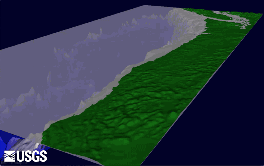
Schelling, who then managed the Earthquake and Tsunami Hazards Program for the Washington Emergency Management Division, approached U.S. Geological Survey (USGS) geographer Nathan Wood about his work on tsunami hazards. He was particularly interested in Wood’s pedestrian evacuation models that showed at-risk communities along the Pacific Northwest coast and their potential for survival.
Conventional wisdom about tsunamis says that if you feel an earthquake’s shaking, move to high ground immediately. But what if the area has no natural high ground? Many coastal communities in the Northwest are built on low-lying coastal spits of sand.
Schelling and the local communities looked at inundation models and best practices based on new Federal guidance, and also at locations, types, and costs of proposed vertical evacuation structures in locations where people cannot get to higher ground. This analysis was performed in cooperation with the National Oceanic and Atmospheric Administration and the Federal Emergency Management Agency. Subsequent work with the USGS took community planning to the next level by modeling pedestrian traveltimes and mapping routes likely to be used for pedestrian evacuation.
Wood’s modeling of pedestrian traveltimes considered how far people had to travel to be safe, the numbers of people in differing neighborhoods, and the characteristics of the people themselves. The characteristics included people, such as children or the elderly, who are unable to walk quickly or require assistance.

Schelling likened the process to “peeling an onion,” where the outer layers represent the physical aspects of natural hazards and looking deeper reveals layers of social vulnerability.
“The community now has the tools to take matters into their own hands,” Schelling explained. “Going through this community-based process, and seeing the numbers of people in tsunami hazard zones, evacuation times, and viable solutions, such as vertical evacuation, gave the residents a sense of hope and a willingness to prepare.”
Wood’s mapping and geographic analyses helped residents understand how to prioritize locations for vertical evacuation structures. Armed with this knowledge, some communities successfully used it to obtain Federal grants that allowed them to begin construction.

Ocosta Elementary School is the first tsunami-safe school building in the country; a vertical evacuation structure was built in June 2016. Before the community started to minimize tsunami hazards, the school district in Ocosta tried to pass a local bond issue to rebuild the school. The bond measure failed twice but passed after the community went through a tsunami-hazards planning process. “This real-world case study of applied USGS science and collaboration with emergency management will save more than 1,000 students and community members in the future,” said Schelling.
Similarly, residents of Long Beach, Washington, successfully applied for a grant to build a 60-foot-high berm next to their elementary school; the community is built on a low-lying coastal spit of sand. The USGS pedestrian evacuation models also informed the Washington State Department of Emergency Management’s education and outreach, identifying communities where vertical evacuation structures for tsunamis are not needed.
Get Our News
These items are in the RSS feed format (Really Simple Syndication) based on categories such as topics, locations, and more. You can install and RSS reader browser extension, software, or use a third-party service to receive immediate news updates depending on the feed that you have added. If you click the feed links below, they may look strange because they are simply XML code. An RSS reader can easily read this code and push out a notification to you when something new is posted to our site.