
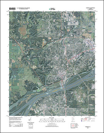
Newly designed US Topo maps covering Alabama are now available online for free download
This new design was launched earlier this year and is now part of the new US Topo quadrangles for Alabama (840 maps), replacing the first edition US Topo maps for the states.
US Topo maps now have a crisper, cleaner design - enhancing readability of maps for online and printed use. Map symbols are easier to read over the digital aerial photograph layer whether the imagery is turned on or off. Improvements to symbol definitions (color, line thickness, line symbols, area fills), layer order, and annotation fonts are additional features of this latest update. The maps also have transparency for some features and layers to increase visibility of multiple competing layers.
This new design was launched earlier this year and is now part of the new US Topo quadrangles for Alabama (840 maps), replacing the first edition US Topo maps for the states.
"Users in our state are very excited about the three year revision cycle of the US Topo maps,” said George Heleine, the Geospatial Liaison for Alabama and Mississippi. “The Alabama Department of Transportation says that due to increased growth within the state, updated maps will significantly increase their utility across all disciplines within State Government”.
US Topo maps are updated every three years. The initial round of the 48 conterminous states coverage was completed in September of 2012. Hawaii and Puerto Rico maps have recently been added. Nearly 1,000 new US Topo maps for Alaska have been added to the USGS Map Locator & Downloader, but will take several years to complete.
Re-design enhancements and new features:
- Crisper, cleaner design improves online and printed readability while retaining the look and feel of traditional USGS topographic maps
- New functional road classification schema has been applied
- A slight screening (transparency) has been applied to some features to enhance visibility of multiple competing layers
- Updated free fonts that support diacritics
- New PDF Legend attachment
- Metadata formatted to support multiple browsers
- New shaded relief layer for enhanced view of the terrain
- Military installation boundaries, post offices and cemeteries
- The railroad dataset is much more complete
The previous versions of US Topo maps for these states, published in 2011, can still be downloaded from USGS web sites. Also, scanned images of older topographic maps from the period 1884-2006 can be downloaded from the USGS Historical Topographic Map Collection. These scanned images of legacy paper maps are available for free download from The National Map and the USGS Map Locator & Downloader website.
US Topo maps are created from geographic datasets in The National Map, and deliver visible content such as high-resolution aerial photography, which was not available on older paper-based topographic maps. The new US Topo maps also provide modern technical advantages that support wider and faster public distribution and on-screen geographic analysis tools for users. The new digital electronic topographic maps are delivered in GeoPDF ®image software format and may be viewed using Adobe Reader, available as a no-cost download.
For more information, go to: http://nationalmap.gov/ustopo/

Get Our News
These items are in the RSS feed format (Really Simple Syndication) based on categories such as topics, locations, and more. You can install and RSS reader browser extension, software, or use a third-party service to receive immediate news updates depending on the feed that you have added. If you click the feed links below, they may look strange because they are simply XML code. An RSS reader can easily read this code and push out a notification to you when something new is posted to our site.