
Newly released US Topo maps for Missouri now feature selected trails and other substantial updates. The data for the trails is provided to the USGS through a nation-wide “crowdsourcing” project managed by the International Mountain Biking Association (IMBA). Several of the 1,196 new US Topo quadrangles for the state now display public trails along with additional improved data layers such as public land survey information, map symbol redesign and new road source data.
"The US Topo maps are widely used and appreciated by many state and local agencies," said Shelley Silch, The National Map liaison for Missouri and Illinois. "The addition of numerous trials to the new state US Topo quadrangles is a great advancement, as Missouri has been named the 'best trails state" by American Trails."
For Missouri residents and visitors who want to explore the rolling Ozark landscape on a bicycle seat or by hiking, the new trail features on the US Topo maps will come in handy. During the past two years the IMBA, in a partnership with the MTB Project, has been building a detailed national database of mountain bike trails. This activity allows local IMBA chapters, IMBA members, and the public to provide trail data and descriptions through their website. MTB Project and IMBA then verify the quality of the trail data provided, ensure accuracy and confirm the trail is legal. This unique crowdsourcing venture has increased the availability of trail data available through The National Map mobile and web apps, and the revised US Topo maps.
Another important addition to the new Missouri US Topo maps is the inclusion of Public Land Survey System data. PLSS is a way of subdividing and describing land in the US. All lands in the public domain are subject to subdivision by this rectangular system of surveys, which is regulated by the U.S. Department of the Interior.
These new maps replace the first edition US Topo maps for Missouri and are available for free download from The National Map, the USGS Map Locator & Downloaderwebsite , or several other USGS applications.
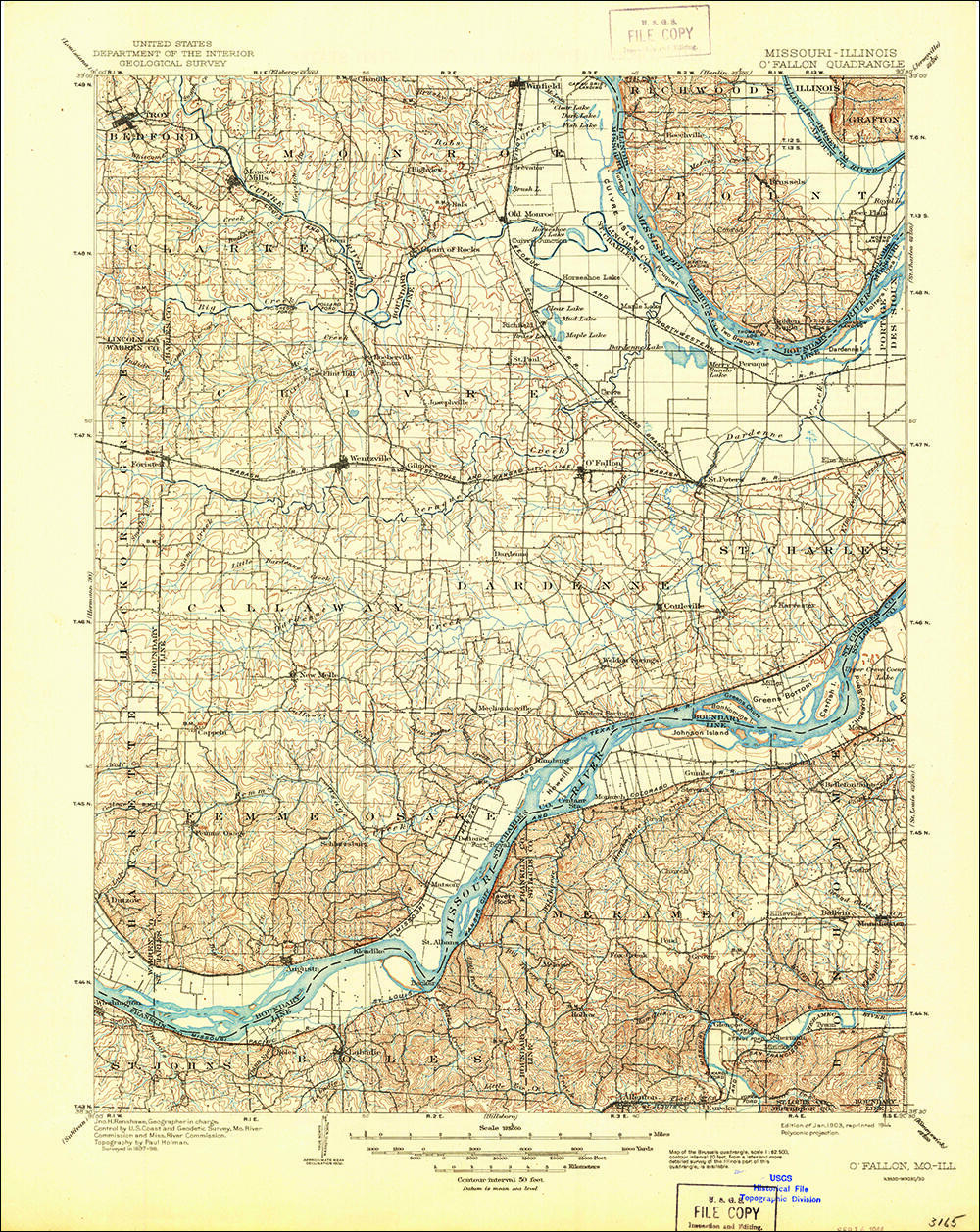
To compare change over time, scans of legacy USGS topo maps, some dating back to the late 1800s, can be downloaded from the USGS Historical Topographic Map Collection
For more information on US Topo maps: http://nationalmap.gov/ustopo/


Get Our News
These items are in the RSS feed format (Really Simple Syndication) based on categories such as topics, locations, and more. You can install and RSS reader browser extension, software, or use a third-party service to receive immediate news updates depending on the feed that you have added. If you click the feed links below, they may look strange because they are simply XML code. An RSS reader can easily read this code and push out a notification to you when something new is posted to our site.