
Oil and Gas Resources of the Bossier and Haynesville Formations
USGS Assesses Undiscovered, Technically Recoverable Resources in the Two Gulf Coast Formations
USGS also estimates 4 billion barrels of oil and 2 billion barrels of natural gas liquids in the two formations.

The Bossier and Haynesville Formations of the onshore and State waters portion of the U.S. Gulf Coast contain estimated means of 4.0 billion barrels of oil, 304.4 trillion cubic feet of natural gas, and 1.9 billion barrels of natural gas liquids, according to updated assessments by the U.S. Geological Survey. These estimates, the largest continuous natural gas assessment USGS has yet conducted, include petroleum in both conventional and continuous accumulations, and consist of undiscovered, technically recoverable resources.
The Bossier and Haynesville Formations lie within the Gulf Coast Basin, which extends from the Texas-Mexico border in the west to the Florida Panhandle in the east. The Bossier Formation is estimated to contain means of 2.9 billion barrels of oil, 108.6 trillion cubic feet of natural gas, and 1.0 billion barrels of natural gas liquids, while the Haynesville Formation is estimated to contain a mean of 1.1 billion barrels of oil, 195.8 trillion cubic feet of natural gas, and 0.9 billion barrels of natural gas liquids.
“As the USGS revisits many of the oil and gas basins of the United States, we continually find that technological revolutions of the past few years have truly been a game-changer in the amount of resources that are now technically recoverable," said Walter Guidroz, Program Coordinator of the USGS Energy Resources Program. "Changes in technology and industry practices, combined with an increased understanding of the regional geologic framework, can have a significant effect on what resources become technically recoverable. These changes are why the USGS remains committed to performing the most up-to-date assessments of these vital resources throughout the United States and the world.”

Prior to this report, the USGS assessed the Bossier and Haynesville Formations in a 2010 assessment of Jurassic and Cretaceous rocks of the Gulf Coast. At that time, the Bossier was estimated to contain a mean of 9.0 trillion cubic feet of natural gas, while the Haynesville was estimated to contain 61.4 trillion cubic feet of natural gas.
“It’s amazing what a little more knowledge can yield,” said USGS scientist Stan Paxton, lead author of the assessment. “Since the 2010 assessment, we’ve gotten updated geologic maps, expanded production history and have a greater understanding of how these reservoirs evolved. All of that leads to a better geological model and therefore a more robust assessment.”
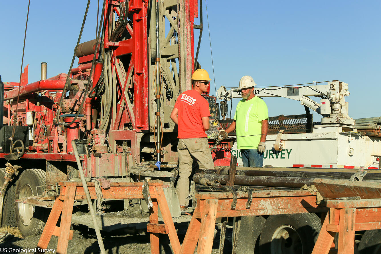
The Bossier and Haynesville Formations have long been known to contain oil and gas, but it wasn’t until 2008 that production of the continuous resources really got underway in East Texas and North Louisiana, the primary production areas for the two formations.
Continuous oil and gas is dispersed throughout a geologic formation rather than existing as discrete, localized occurrences, such as those in conventional accumulations. Because of that, continuous resources commonly require special technical drilling and recovery methods, such as hydraulic fracturing.
USGS assessments are probabilistic and statistic assessments, yielding a range of possible resource amounts. For the Bossier Formation, the assessment ranges from 37.1 trillion cubic feet of natural gas to 223.5 trillion cubic feet of natural gas, with 108.6 trillion cubic feet as the mean. For oil, the assessment ranges from 1.2 billion barrels of oil to 5.1 billion barrels of oil, with 2.9 billion barrels as the mean. For natural gas liquids, the assessment ranges from 424 million barrels to 2.0 billion barrels, with 1.0 billion barrels as the mean.
The Haynesville Formation, meanwhile, ranges from 96.3 trillion cubic feet of natural gas to 341 trillion cubic feet of natural gas, with 195.8 trillion cubic feet as the mean. For oil, the assessment ranges from 286 million barrels of oil to 2.5 billion barrels of oil, with 1.1 billion barrels as the mean. For natural gas liquids, the assessment ranges from 304 million barrels to 1.7 billion barrels, with 0.9 billion barrels as the mean.

Undiscovered resources are those that are estimated to exist based on geologic knowledge and statistical analysis of known resources, while technically recoverable resources are those that can be produced using currently available technology and industry practices. Whether or not it is profitable to produce these resources has not been evaluated.
The USGS is the only provider of publicly available estimates of undiscovered technically recoverable oil and gas resources of onshore lands and offshore state waters. The USGS assessments of the Bossier and Haynesville Formations were undertaken as part of a nationwide project assessing domestic petroleum basins using standardized methodology and protocol.
The new assessments of the Bossier and Haynesville Formations may be found online. To find out more about USGS energy assessments and other energy research, please visit the USGS Energy Resources Program website, sign up for our Newsletter, and follow us on Twitter.
Get Our News
These items are in the RSS feed format (Really Simple Syndication) based on categories such as topics, locations, and more. You can install and RSS reader browser extension, software, or use a third-party service to receive immediate news updates depending on the feed that you have added. If you click the feed links below, they may look strange because they are simply XML code. An RSS reader can easily read this code and push out a notification to you when something new is posted to our site.