
U.S. Geological Survey, Caribbean Florida Water Science Center main office, located in 10770 N 46th St, Tampa, FL 33617.
Multimedia
Check out images, video, and audio files from across the Southeast Region.
Images

U.S. Geological Survey, Caribbean Florida Water Science Center office
U.S. Geological Survey, Caribbean Florida Water Science Center main office, located in 10770 N 46th St, Tampa, FL 33617.

Lepidoptera flier.JPG
Mail in deceased butterflies, moths, and skippers and help United States Geological Survey(USGS) scientists establish a Lepidoptera Research Collection (LRC). Specimens will help USGS scientists identify contaminants and environmental factors which may be contributing to the decline of insect populations.
Mail in deceased butterflies, moths, and skippers and help United States Geological Survey(USGS) scientists establish a Lepidoptera Research Collection (LRC). Specimens will help USGS scientists identify contaminants and environmental factors which may be contributing to the decline of insect populations.

High water in the Walnut Creek watershed
High water in the Walnut Creek watershed in Raleigh, North Carolina, in 2022. Flooding can impact nearby infrastructure, including homes, businesses, roads and trails. Credit: Kristina Hopkins, USGS.
High water in the Walnut Creek watershed in Raleigh, North Carolina, in 2022. Flooding can impact nearby infrastructure, including homes, businesses, roads and trails. Credit: Kristina Hopkins, USGS.

Black Carp Observations in the Mississippi River Basin
A map of black carp observations in the Mississippi River basin reported to the USGS Nonindigenous Aquatic Species database as of November 30, 2022. This map is not a complete representation of species abundance or distribution. These data include incidental captures by the public and reports from federal and state agencies.
A map of black carp observations in the Mississippi River basin reported to the USGS Nonindigenous Aquatic Species database as of November 30, 2022. This map is not a complete representation of species abundance or distribution. These data include incidental captures by the public and reports from federal and state agencies.

Legna Torres-Garcia with oceanographic instrumentation
Legna Torres-Garcia deploys oceanographic instrumentation to measure waves, currents, water temperature and water levels in Dorado, Puerto Rico in October 2022. This deployment will improve computer model accuracy related to total water level forecast. USGS Photo by David Thompson.
Legna Torres-Garcia deploys oceanographic instrumentation to measure waves, currents, water temperature and water levels in Dorado, Puerto Rico in October 2022. This deployment will improve computer model accuracy related to total water level forecast. USGS Photo by David Thompson.

USGS Science After Hurricane Ian
After Hurricane Ian, USGS scientist Scott Greenwood services the USGS streamgage on the St. Johns River near Sanford, Florida. Photograph taken October 6, 2022. Credit: Gene Grimm, USGS.
After Hurricane Ian, USGS scientist Scott Greenwood services the USGS streamgage on the St. Johns River near Sanford, Florida. Photograph taken October 6, 2022. Credit: Gene Grimm, USGS.
Videos

USGS Journeys – RESTORED: A Hydrologist’s Story
With science centers in 13 states and two territories, the Southeast Region of the United States Geological Survey is comprised of individuals from all across the country who aid in serving the public with invaluable data about the country’s most critical ecological processes.
With science centers in 13 states and two territories, the Southeast Region of the United States Geological Survey is comprised of individuals from all across the country who aid in serving the public with invaluable data about the country’s most critical ecological processes.

Peligros Costeros de Puerto Rico
La isla de Puerto Rico está sujeta a numerosos peligros naturales, incluyendo huracanes y erosión costera. La información sobre cómo responden los entornos costeros de la isla a estos eventos es fundamental para reforzar la resiliencia costera. La Dra.
La isla de Puerto Rico está sujeta a numerosos peligros naturales, incluyendo huracanes y erosión costera. La información sobre cómo responden los entornos costeros de la isla a estos eventos es fundamental para reforzar la resiliencia costera. La Dra.
Puerto Rico Coastal Hazards (AD)
The island of Puerto Rico is subject to numerous natural hazards including hurricanes and coastal erosion. Information on how the island’s coastal environments respond to these events is critical for bolstering coastal resilience. Dr.
The island of Puerto Rico is subject to numerous natural hazards including hurricanes and coastal erosion. Information on how the island’s coastal environments respond to these events is critical for bolstering coastal resilience. Dr.

Reducing Flood Risks by Restoring Coral Reefs
")
Reducing Flood Risks by Restoring Coral Reefs (AD)
The increasing risk of flooding along our coasts is driven by climate change, development and habitat loss.
The increasing risk of flooding along our coasts is driven by climate change, development and habitat loss.

Image of the Week - Festive Fields in North Carolina
The smell of a fresh cut Christmas tree can evoke visions of majestic evergreen forests teeming with winter wildlife. In truth, more than half of U.S. Christmas trees come from farms in Oregon, North Carolina, or Michigan. Cut Christmas Trees area commodity, tracked by the U.S. Department of Agriculture just like corn or soybeans.
The smell of a fresh cut Christmas tree can evoke visions of majestic evergreen forests teeming with winter wildlife. In truth, more than half of U.S. Christmas trees come from farms in Oregon, North Carolina, or Michigan. Cut Christmas Trees area commodity, tracked by the U.S. Department of Agriculture just like corn or soybeans.
Audio

Outstanding in the Field (Ep 4): Amphibian Surveys – Call of the Frog
The USGS Ecosystems Mission Area brings you Outstanding in the Field, a series of stories about our science, our adventures, and our efforts to better understand our fish and wildlife and the ecosystems that support them. In this episode we describe the USGS’s efforts to track frog populations in the southeast United States.
The USGS Ecosystems Mission Area brings you Outstanding in the Field, a series of stories about our science, our adventures, and our efforts to better understand our fish and wildlife and the ecosystems that support them. In this episode we describe the USGS’s efforts to track frog populations in the southeast United States.

Cuban treefrog - Osteopilus septentrionalis
Can you hear the difference between the non-native Cuban treefrog and two common Louisiana native treefrogs? Cuban treefrogs’ call is distinctive. Biologist Paul Moler of the Florida Fish and Wildlife Conservation Commission recorded them in South Florida. Credit: Paul Moler, used with permission.
Can you hear the difference between the non-native Cuban treefrog and two common Louisiana native treefrogs? Cuban treefrogs’ call is distinctive. Biologist Paul Moler of the Florida Fish and Wildlife Conservation Commission recorded them in South Florida. Credit: Paul Moler, used with permission.
Green treefrog - Hyla cinerea
Green treefrogs call from their favorite habitat, rivers and lakes. They’re native to Louisiana and Florida, where these were recorded. Credit: Paul Moler, used with permission.
Green treefrogs call from their favorite habitat, rivers and lakes. They’re native to Louisiana and Florida, where these were recorded. Credit: Paul Moler, used with permission.
Squirrel treefrog - Hyla squirella (Marion)
Squirrel treefrogs are also native to Florida and Louisiana. Hear them calling from ditches, puddles and other ephemeral pools of water. Credit: Paul Moler, used with permission.
Squirrel treefrogs are also native to Florida and Louisiana. Hear them calling from ditches, puddles and other ephemeral pools of water. Credit: Paul Moler, used with permission.

Responding to Hurricanes, Floods and Droughts in North Carolina
North Carolina, like many years before, is responding to flooding in the East and drought in the West. Holly Weyers, USGS North Carolina Water Science Center Director, discusses these extreme events.
North Carolina, like many years before, is responding to flooding in the East and drought in the West. Holly Weyers, USGS North Carolina Water Science Center Director, discusses these extreme events.
USGS Water Activities in South Carolina - Update
An update on USGS Water activities in South Carolina as SC Water Science Center Director Eric Strom is interviewed by SC Public Radio ‘Your Day’ host, Donna London.
An update on USGS Water activities in South Carolina as SC Water Science Center Director Eric Strom is interviewed by SC Public Radio ‘Your Day’ host, Donna London.
Webcams
Kankakee River near Wilmington IL
Controllable webcam that is located on IL-53 and Will Road on the Kankakee River near Wilmington, Illinois.
Controllable webcam that is located on IL-53 and Will Road on the Kankakee River near Wilmington, Illinois.
Tres Palmas Video Camera Beach View Dark Image
Video camera dark image at Tres Palmas in Rincón, on the west coast of Puerto Rico. [Larger version]
Learn more about the cameras and how we're using them to study wave dynamics.
Video camera dark image at Tres Palmas in Rincón, on the west coast of Puerto Rico. [Larger version]
Learn more about the cameras and how we're using them to study wave dynamics.

Tres Palmas Video Camera Mid-Field Dark Image
Video camera dark image at Tres Palmas in Rincón, on the west coast of Puerto Rico. [Larger version]
Video camera dark image at Tres Palmas in Rincón, on the west coast of Puerto Rico. [Larger version]

Tres Palmas Video Camera Mid-Field Dark Image, 2
Video camera dark image at Tres Palmas in Rincón, on the west coast of Puerto Rico. [Larger version]
Video camera dark image at Tres Palmas in Rincón, on the west coast of Puerto Rico. [Larger version]
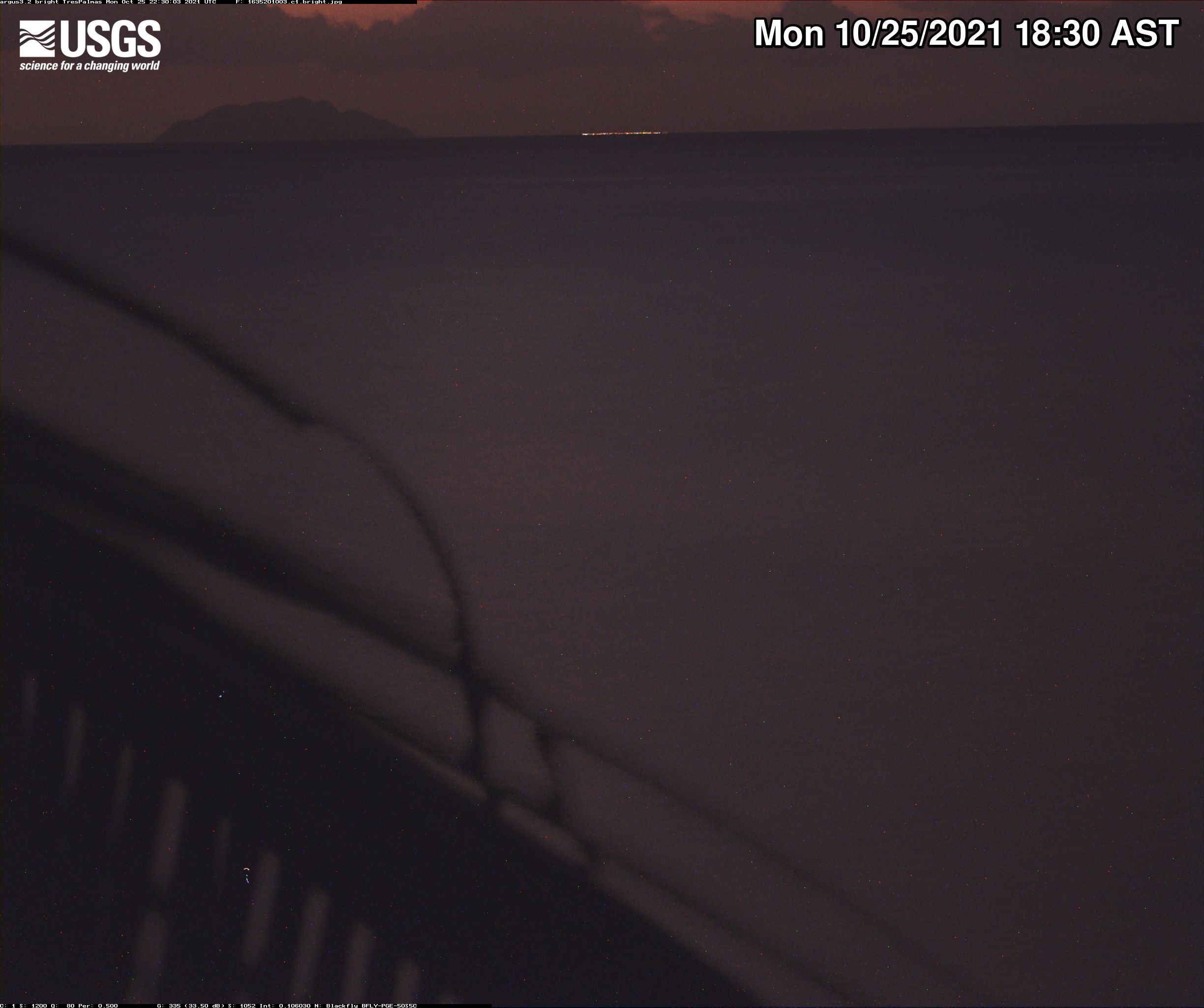
Tres Palmas Video Camera Far-Field Bright Image
Video camera bright image at Tres Palmas in Rincón, on the west coast of Puerto Rico. [Larger version]
Learn more about the cameras and how we're using them to study wave dynamics.
Video camera bright image at Tres Palmas in Rincón, on the west coast of Puerto Rico. [Larger version]
Learn more about the cameras and how we're using them to study wave dynamics.

Tres Palmas Video Camera Beach View Bright Image
Video camera bright image at Tres Palmas in Rincón, on the west coast of Puerto Rico. [Larger version]
Learn more about the cameras and how we're using them to study wave dynamics.
Video camera bright image at Tres Palmas in Rincón, on the west coast of Puerto Rico. [Larger version]
Learn more about the cameras and how we're using them to study wave dynamics.