
Webcam for fish observation at streamgage 04087050, Little Menomonee River near Freistadt, Wisconsin: https://waterdata.usgs.gov/monitoring-location/04087050/
Webcams
Webcams intro.
Little Menomonee River near Freistadt, Wisconsin Fish Camera
Webcam for fish observation at streamgage 04087050, Little Menomonee River near Freistadt, Wisconsin: https://waterdata.usgs.gov/monitoring-location/04087050/
Menomonee River at Wauwatosa, Wisconsin above water fish camera
Webcam for fish observation at streamgage 04087120, Menomonee River at Wauwatosa, Wisconsin: https://waterdata.usgs.gov/monitoring-location/04087120/
Webcam for fish observation at streamgage 04087120, Menomonee River at Wauwatosa, Wisconsin: https://waterdata.usgs.gov/monitoring-location/04087120/
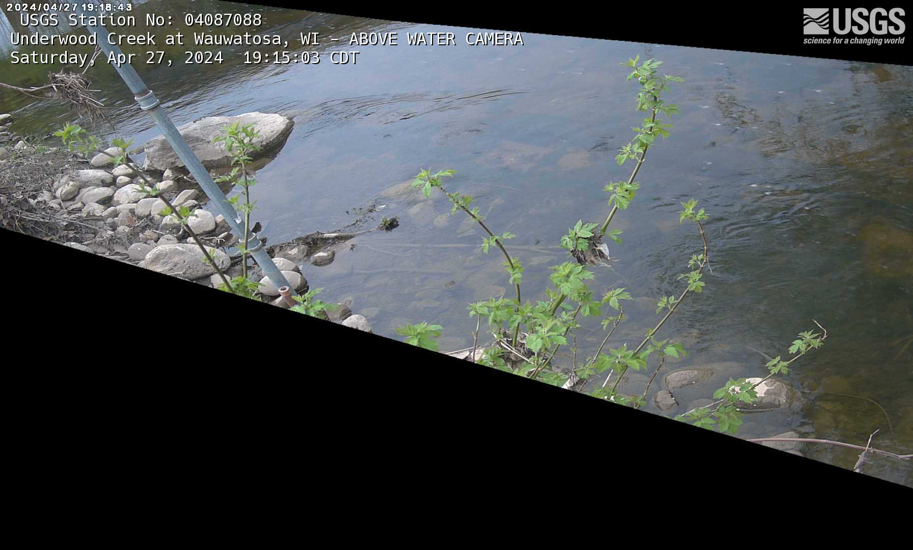
Underwood Creek at Wauwatosa, Wisconsin above water fish camera
Webcam for fish observation at streamgage 04087088, Underwood Creek at Wauwatosa, Wisconsin: https://waterdata.usgs.gov/monitoring-location/04087088/
Webcam for fish observation at streamgage 04087088, Underwood Creek at Wauwatosa, Wisconsin: https://waterdata.usgs.gov/monitoring-location/04087088/
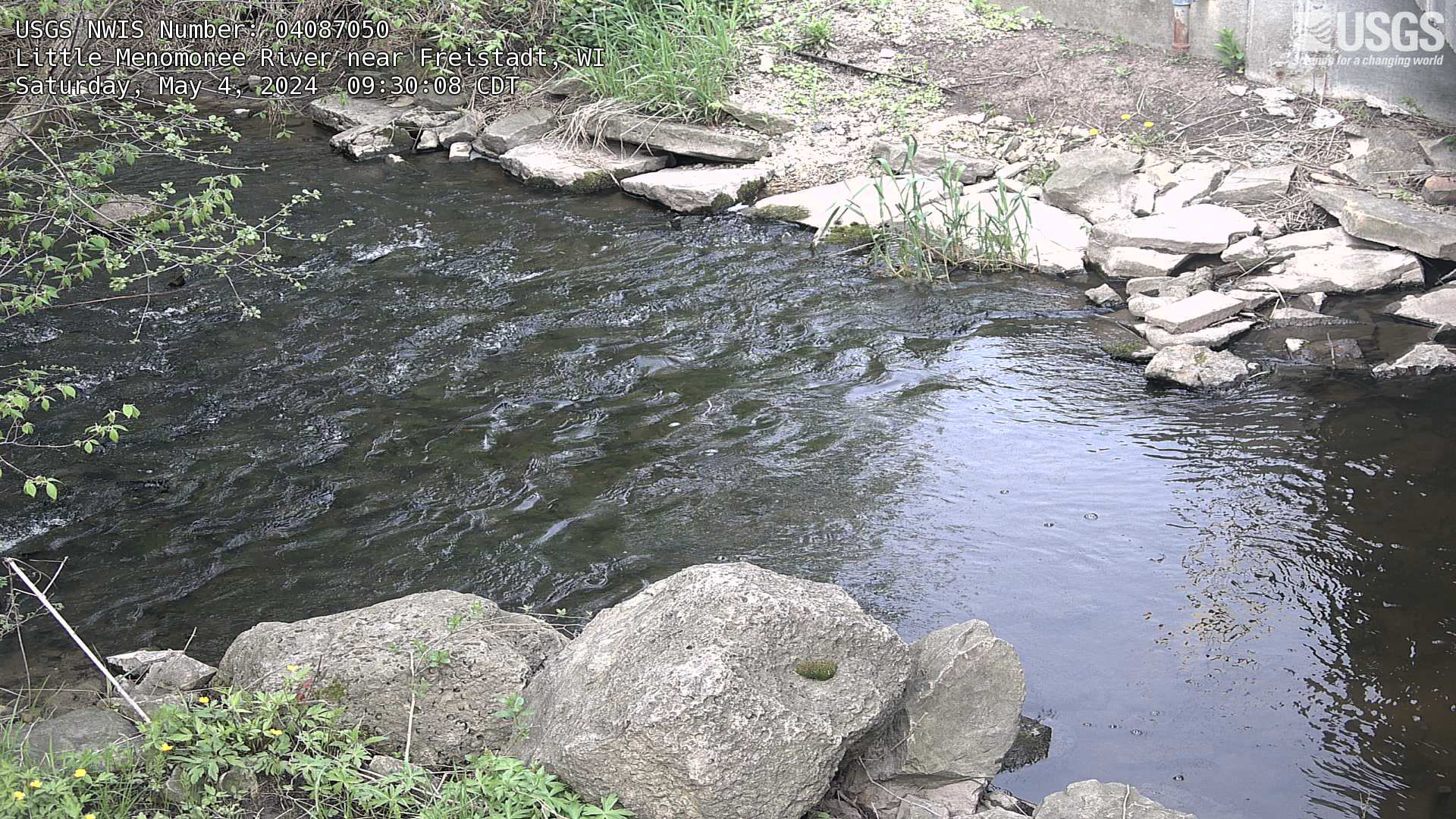
Streamgage at Little Menomonee River near Freistadt, Wisconsin
Webcam at streamgage at Little Menomonee River near Freistadt, Wisconsin. https://waterdata.usgs.gov/monitoring-location/04087050/
Webcam at streamgage at Little Menomonee River near Freistadt, Wisconsin. https://waterdata.usgs.gov/monitoring-location/04087050/
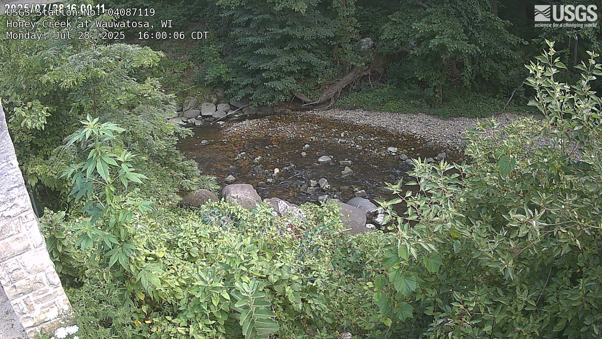
Streamgage at Honey Creek at Wauwatosa, Wisconsin
Webcam at streamgage at Honey Creek at Wauwatosa, Wisconsin. https://waterdata.usgs.gov/monitoring-location/04087119
Webcam at streamgage at Honey Creek at Wauwatosa, Wisconsin. https://waterdata.usgs.gov/monitoring-location/04087119
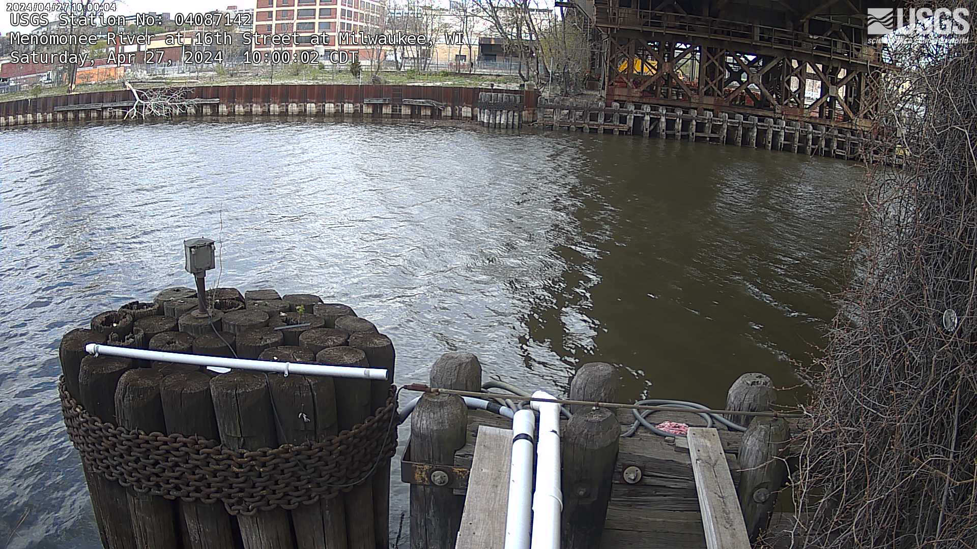
Streamgage at Menomonee River at 16th Street at Milwaukee, Wisconsin
Webcam at streamgage at Menomonee River at 16th Street at Milwaukee, Wisconsin. https://waterdata.usgs.gov/monitoring-location/04087142
Webcam at streamgage at Menomonee River at 16th Street at Milwaukee, Wisconsin. https://waterdata.usgs.gov/monitoring-location/04087142
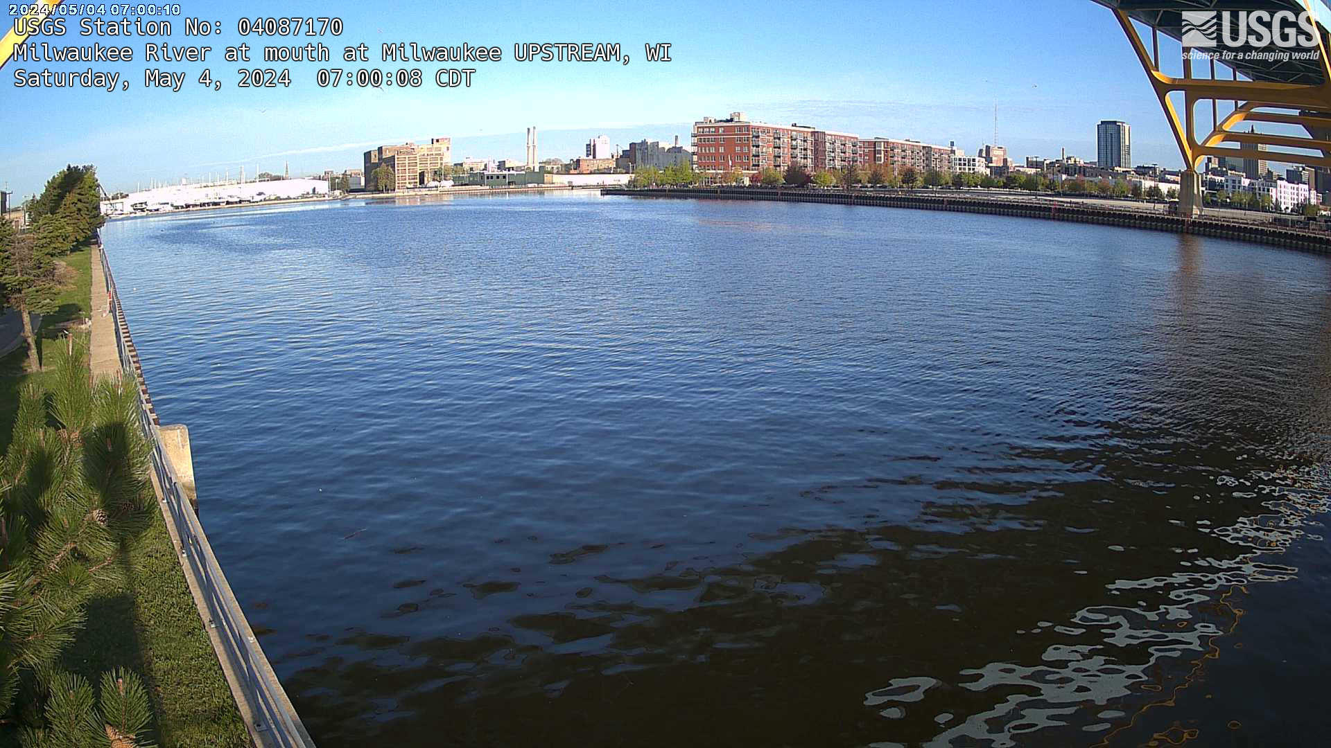
Streamgage at mouth of Milwaukee River (upstream) at Milwaukee, Wisconsin
Webcam at streamgage at mouth of Milwaukee River (upstream) at Milwaukee, Wisconsin. https://waterdata.usgs.gov/monitoring-location/04087170/
Webcam at streamgage at mouth of Milwaukee River (upstream) at Milwaukee, Wisconsin. https://waterdata.usgs.gov/monitoring-location/04087170/
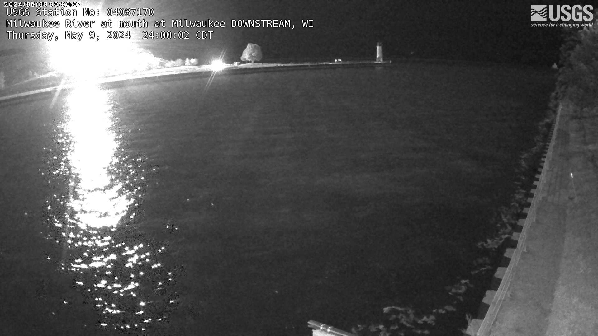
Streamgage at mouth of Milwaukee River (downstream) at Milwaukee, Wisconsin
Webcam at streamgage at mouth of Milwaukee River (downstream) at Milwaukee, Wisconsin. https://waterdata.usgs.gov/monitoring-location/04087170/
Webcam at streamgage at mouth of Milwaukee River (downstream) at Milwaukee, Wisconsin. https://waterdata.usgs.gov/monitoring-location/04087170/
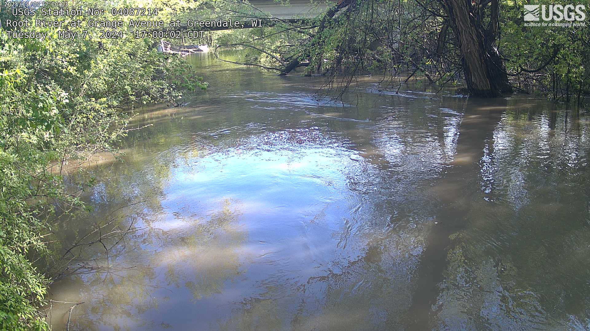
Streamgage at Root River at Grange at Greenfield, Wisconsin (04087214)
Webcam at streamgage at Root River at Grange at Greenfield, Wisconsin. https://waterdata.usgs.gov/monitoring-location/04087214
Webcam at streamgage at Root River at Grange at Greenfield, Wisconsin. https://waterdata.usgs.gov/monitoring-location/04087214
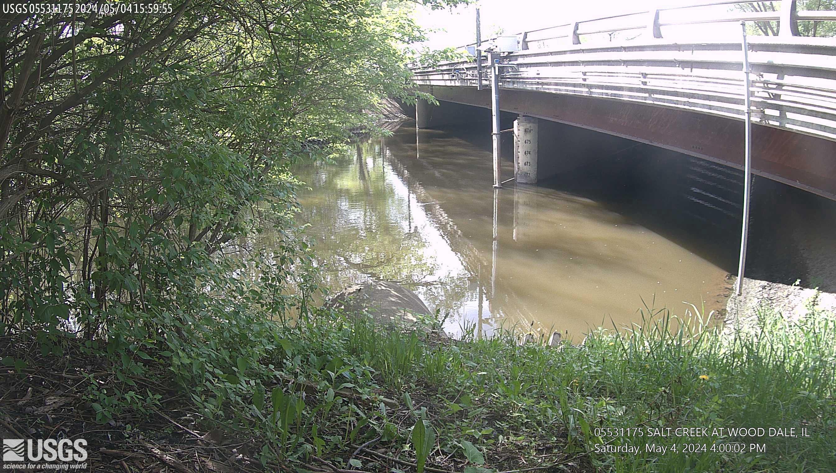
Salt Creek at Wood Dale, IL (05531175)
This site is located at Irving Park Road in Wood Dale, Illinois. The time is reported in Central Standard Time and the bridge-pier elevations are referenced to NGVD 1929.
This site is operated in cooperation with the DuPage County, Illinois, Stormwater Management Division
This site is located at Irving Park Road in Wood Dale, Illinois. The time is reported in Central Standard Time and the bridge-pier elevations are referenced to NGVD 1929.
This site is operated in cooperation with the DuPage County, Illinois, Stormwater Management Division