
Collecting beach profile data in Science Festival video

Detailed Description
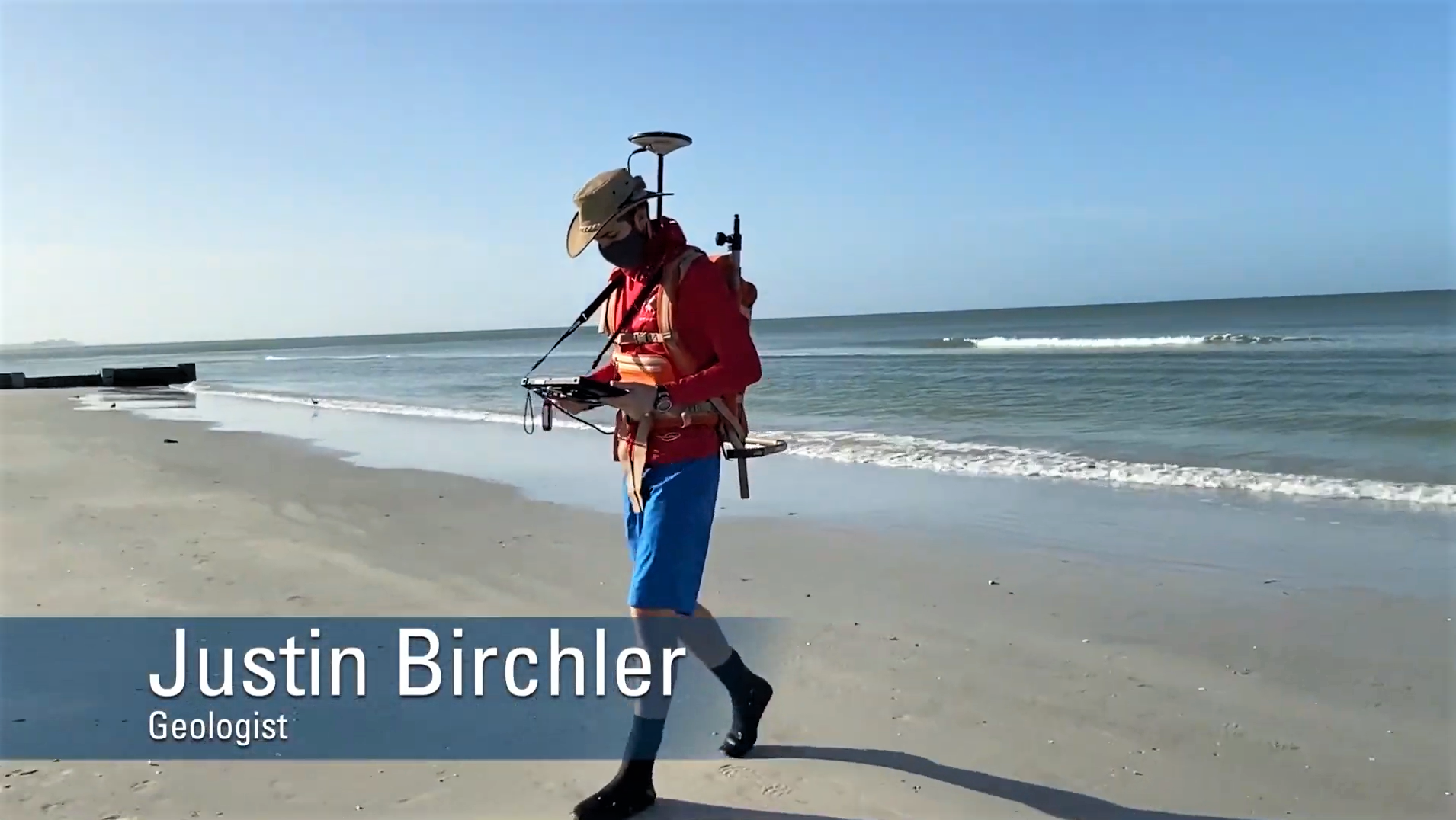
This screenshot was taken from a video created for the virtual 2020 St. Petersburg Science Festival that discussed Coastal Change Hazards research at the USGS. Justin Birchler is seen walking up the beach with GPS equipment to measure the elevation of the beach. These data are used to create a beach profile, that shows the shape of the beach. This is done repeatedly, especially after storms, to monitor how the beach changes over time. These data are used in models to help predict how far water levels can reach during storms, and help people better prepare for the potential effects of storms on our coastlines.
Sources/Usage
Public Domain.