
Wecam image for the 403859074555201 Spruce Run Reservoir, New Jersey observation gage
Multimedia
Multimedia products allows the New Jersey Water Science Center to distribute information in a visual medium.
Images

Spruce Run Webcam
Wecam image for the 403859074555201 Spruce Run Reservoir, New Jersey observation gage

Manville Webcam
Looking at the Raritan River from the gage at the top of the bridge at 01400500 Raritan River at Manville, New Jersey
Looking at the Raritan River from the gage at the top of the bridge at 01400500 Raritan River at Manville, New Jersey

Belmar Webcam
Looking out on a Shark River marina from high above at the 01407770 Shark River at Belmar, New Jersey
Looking out on a Shark River marina from high above at the 01407770 Shark River at Belmar, New Jersey

Sandy Hook Poster page 1
Summary of Study design and data collected at Sandy Hook Gateway National Recreation Area, New Jersey, Page 1
Summary of Study design and data collected at Sandy Hook Gateway National Recreation Area, New Jersey, Page 1

Sandy Hook Poster page 2
Summary of Study design and data collected at Sandy Hook Gateway National Recreation Area, New jersey, Page 2
Summary of Study design and data collected at Sandy Hook Gateway National Recreation Area, New jersey, Page 2

CP_RASA
Map showing the New Jersey Coastal Plain model grid area for the 1980 to 2013 model.
Map showing the New Jersey Coastal Plain model grid area for the 1980 to 2013 model.
Videos

Press Conference — M 4.8 near Whitehouse Station, NJ
Press conference held at 12pm EST April 5, 2024.
Press conference held at 12pm EST April 5, 2024.

The USGS Northeast Region: Delivering Science for Better Decisions
This video is an introduction of the USGS Northeast Region's science efforts to support society's evolving needs through its engaged and diverse workforce.
This video is an introduction of the USGS Northeast Region's science efforts to support society's evolving needs through its engaged and diverse workforce.

Hot Stream, Cold Stream – Measuring the impact of Groundwater on Stream Temperature
Groundwater that drains to surface water through seeps and springs is generally referred to as “discharge.” Groundwater discharge is a primary component of stream base flow, or streamflow that occurs between storms, periods of snowmelt runoff, and periods of quick soil drainage.
Groundwater that drains to surface water through seeps and springs is generally referred to as “discharge.” Groundwater discharge is a primary component of stream base flow, or streamflow that occurs between storms, periods of snowmelt runoff, and periods of quick soil drainage.
")
Hot Stream, Cold Stream – Measuring the impact of Groundwater on Stream Temperature (AD)
Groundwater that drains to surface water through seeps and springs is generally referred to as “discharge.” Groundwater discharge is a primary component of stream base flow, or streamflow that occurs between storms, periods of snowmelt runoff, and periods of quick soil drainage.
Groundwater that drains to surface water through seeps and springs is generally referred to as “discharge.” Groundwater discharge is a primary component of stream base flow, or streamflow that occurs between storms, periods of snowmelt runoff, and periods of quick soil drainage.

What Do USGS Hydrologic Technicians Do For Water Quality Sampling and Analysis?
What do USGS Hydrologic Technicians do on the job for water quality sampling and analysis? This video features four different Hydrologic Technicians from New Jersey Water Science Center and Nevada Water Science Center sharing some of their work.
What do USGS Hydrologic Technicians do on the job for water quality sampling and analysis? This video features four different Hydrologic Technicians from New Jersey Water Science Center and Nevada Water Science Center sharing some of their work.
Webcams
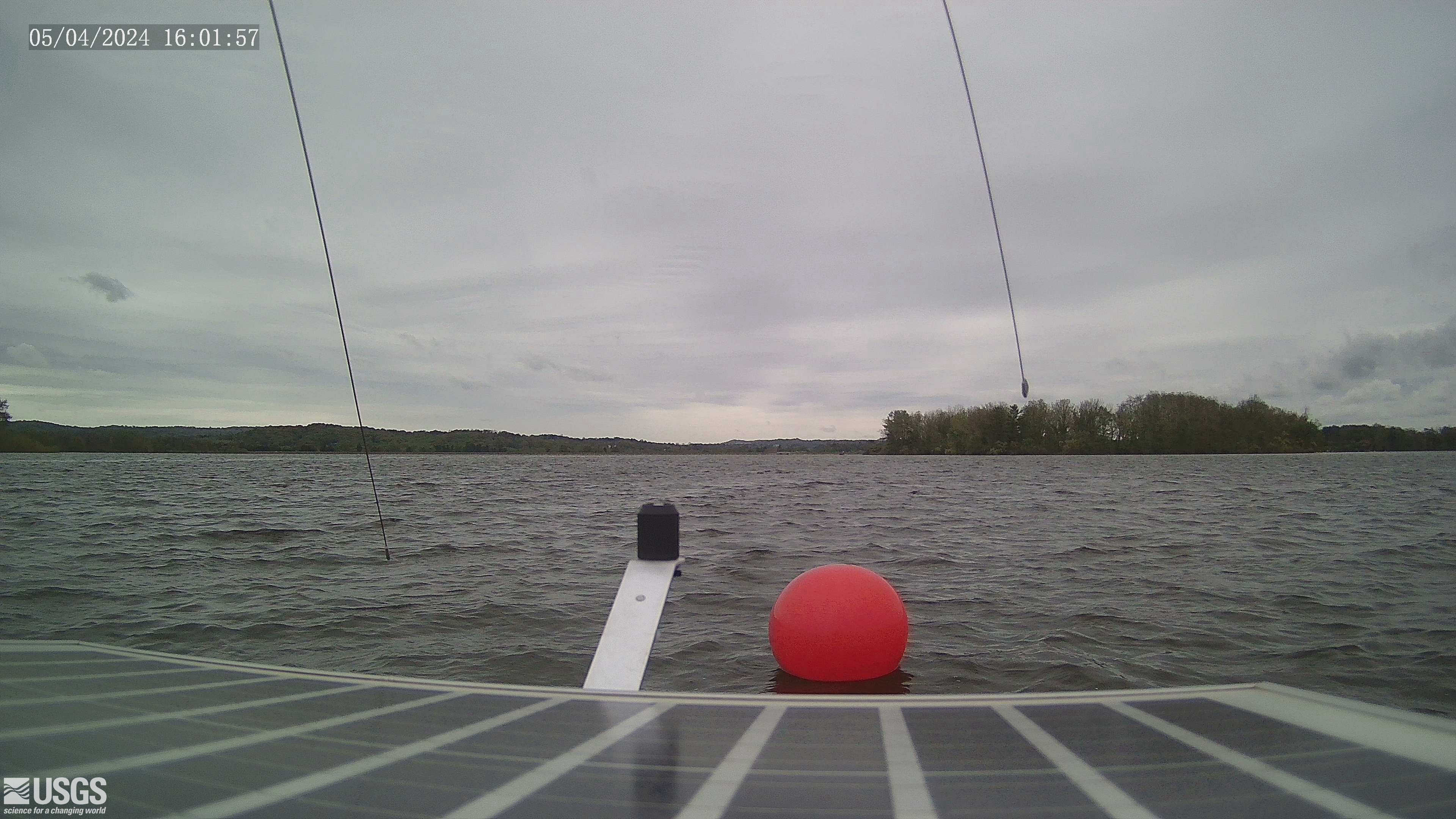
Reservoir Gage 403859074555201 Spruce Run Reservoir, NJ
Webcam at USGS Reservoir gage 403859074555201 Spruce Run Reservoir, NJ
Visit Water Data For the Nation to get current data for this site.
Webcam at USGS Reservoir gage 403859074555201 Spruce Run Reservoir, NJ
Visit Water Data For the Nation to get current data for this site.
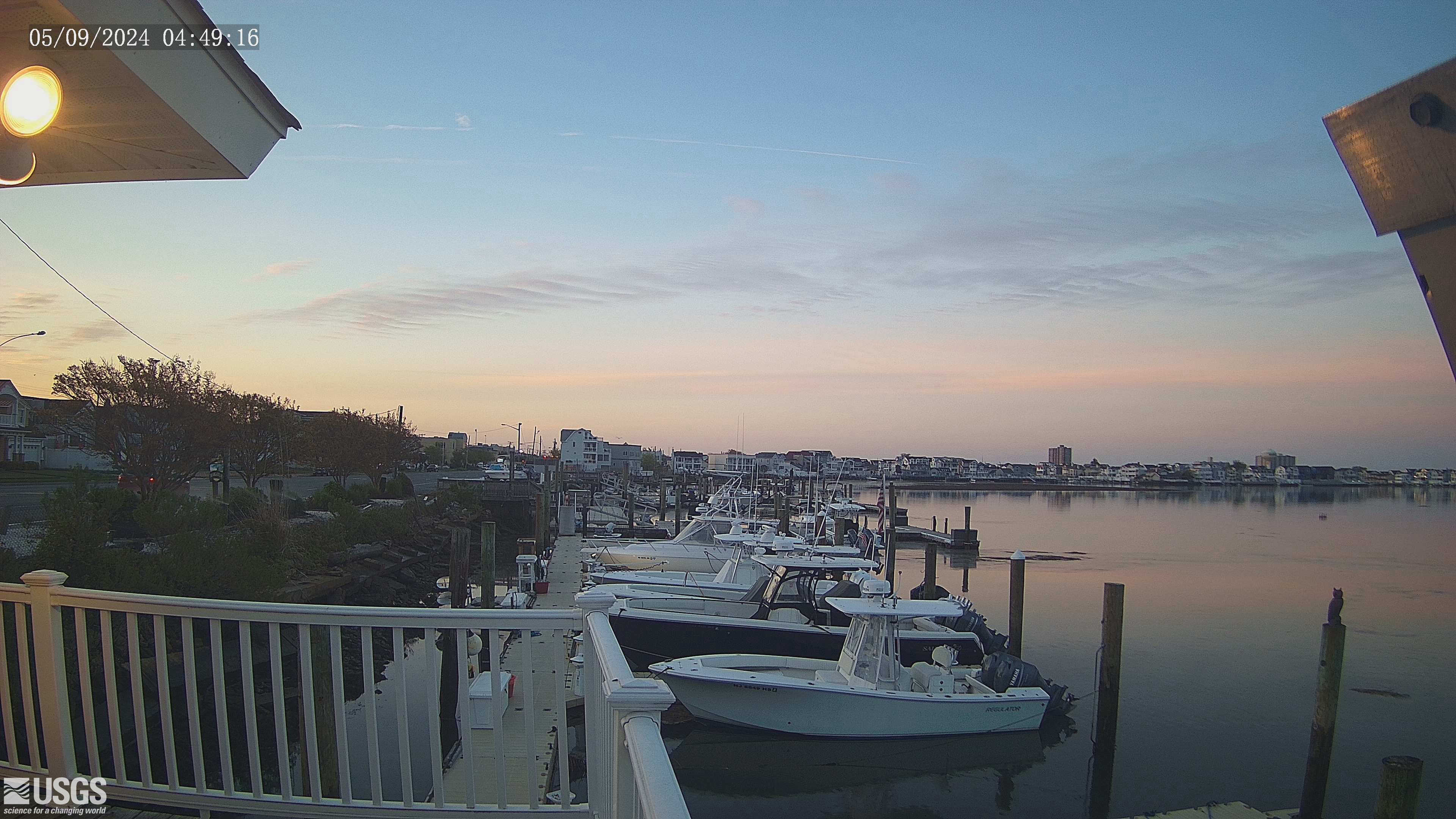
Streamgage 01411330 Beach Thorofare at Margate, NJ
Webcam at USGS Streamgage 01411330 Beach Thorofare at Margate, NJ
Visit Water Data for the Nation to get current data for this site.
Webcam at USGS Streamgage 01411330 Beach Thorofare at Margate, NJ
Visit Water Data for the Nation to get current data for this site.

Streamgage 01410560 Inside Thorofare at Atlantic City, NJ
Webcam at USGS Streamgage 01410560 Inside Thorofare at Atlantic City, NJ
Visit Water Data for the Nation to get current data for this site.
Webcam at USGS Streamgage 01410560 Inside Thorofare at Atlantic City, NJ
Visit Water Data for the Nation to get current data for this site.
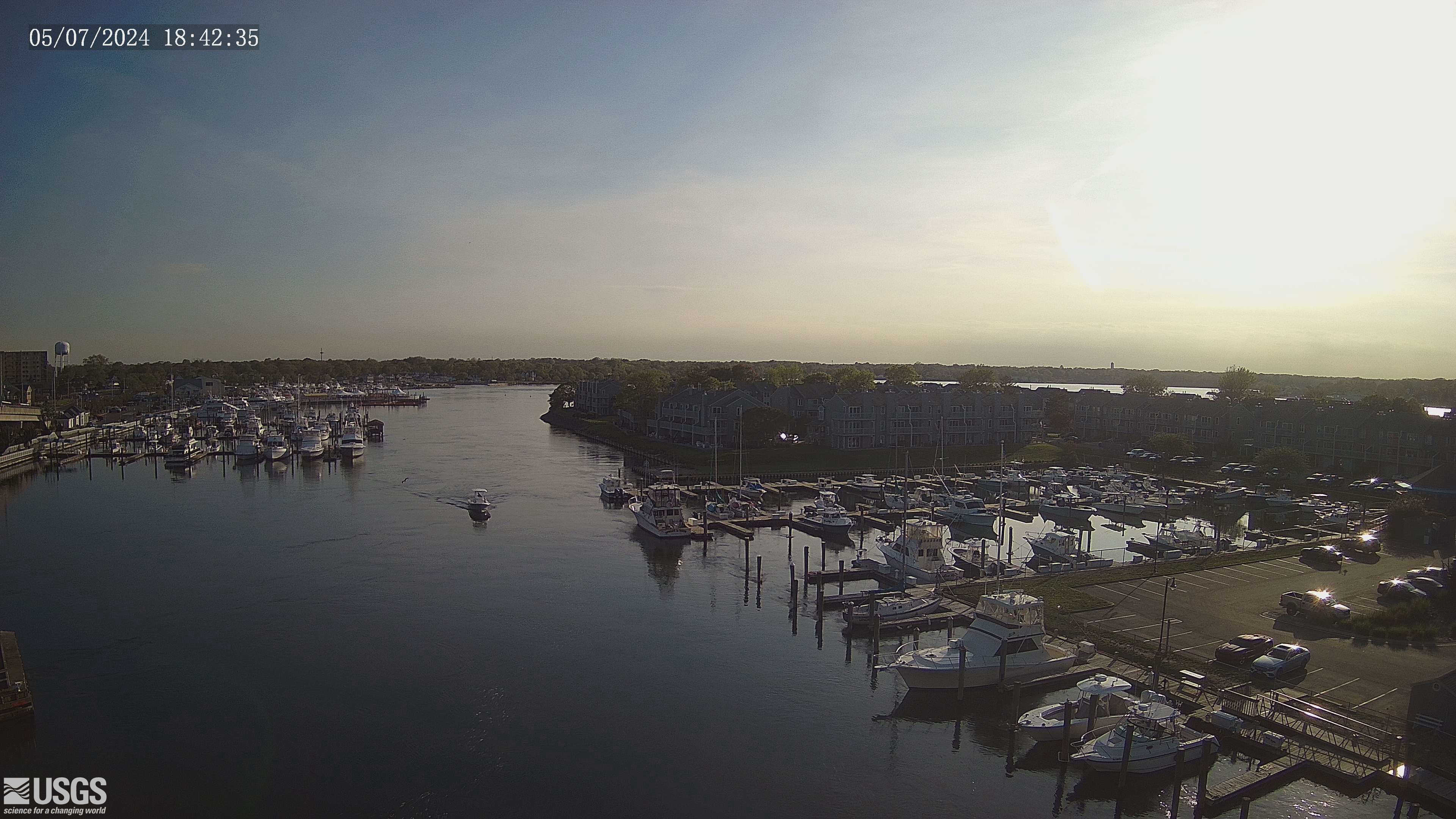
Streamgage 01407770 Shark River at Belmar, NJ
Webcam at USGS Streamgage 01407770 Shark River at Belmar, NJ
Visit Water Data For the Nation to get current data for this site.
Webcam at USGS Streamgage 01407770 Shark River at Belmar, NJ
Visit Water Data For the Nation to get current data for this site.
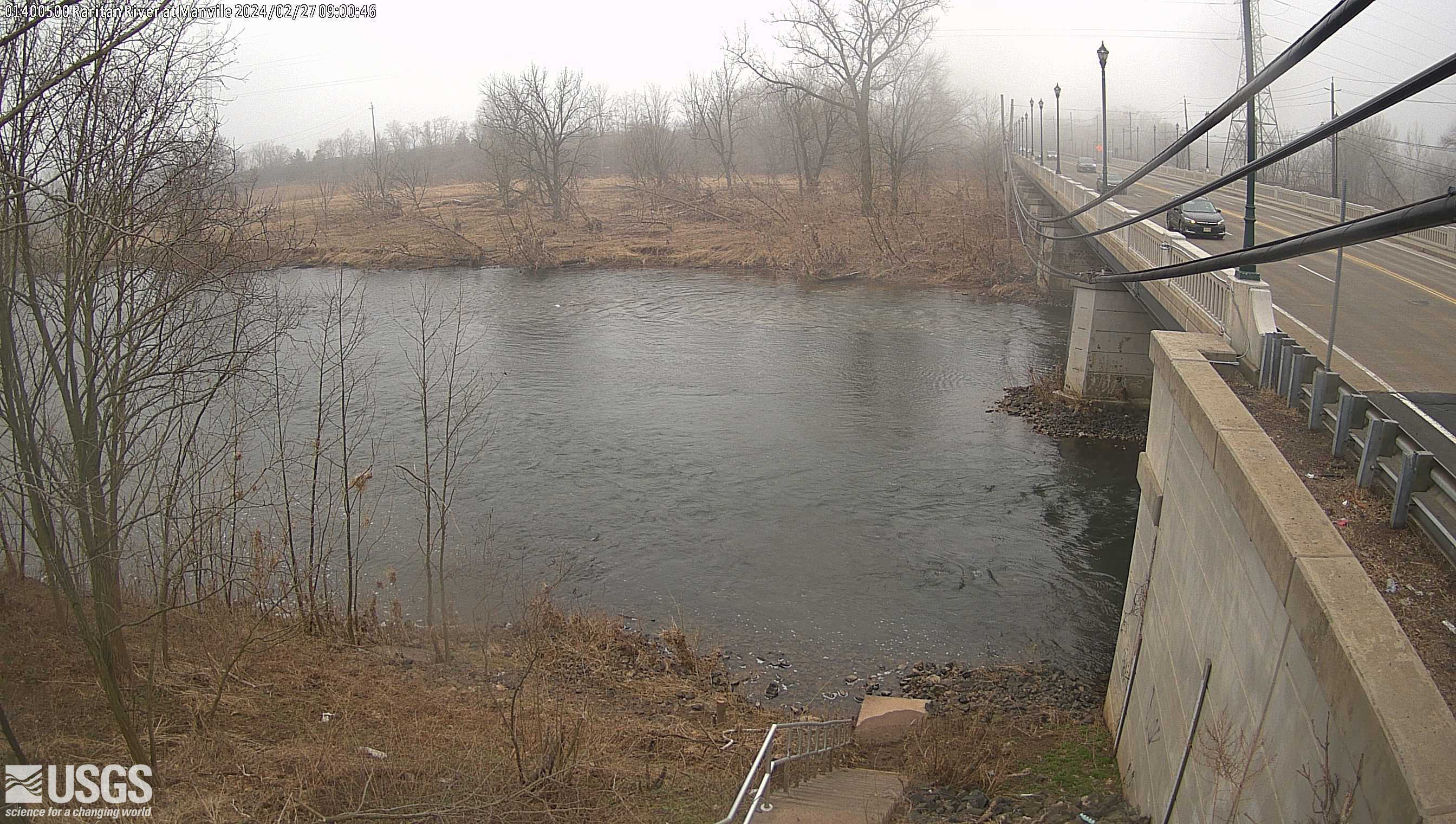
Streamgage 01400500 Raritan R at Manville, NJ
Webcam at USGS Streamgage 01400500 Raritan River at Manville, NJ
Visit Water Data For the Nation to get current data for this site.
Webcam at USGS Streamgage 01400500 Raritan River at Manville, NJ
Visit Water Data For the Nation to get current data for this site.

Streamgage 01446500 Delaware River at Belvidere, NJ
Webcam at USGS Streamgage 01446500 Delaware River at Belvidere, NJ
Visit Water Data For the Nation to get current data for this site.
Webcam at USGS Streamgage 01446500 Delaware River at Belvidere, NJ
Visit Water Data For the Nation to get current data for this site.