
USGS employee positions a UAS over a calibration panel to capture a multispectral image

Detailed Description
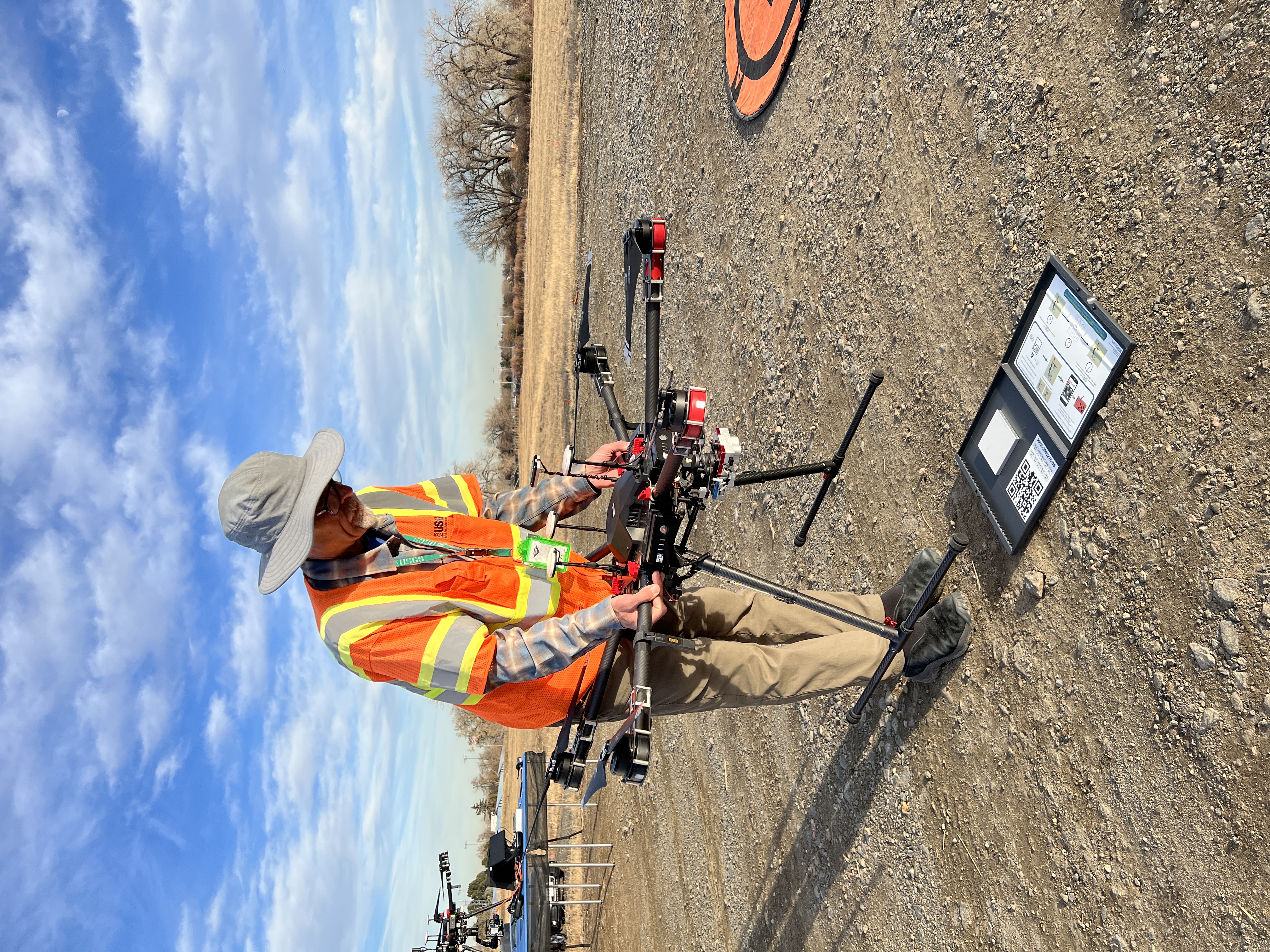
USGS employee Joe Adams positions a UAS over a calibration panel to capture a multispectral image with the attached MicaSense Dual multispectral sensor. This calibration image will be used to post-process the imagery in support of radiometric calibration research conducted at the Denver Federal Center in Colorado.
In support of Earth Resources Observation and Science (EROS) Cal/Val Center of Excellence (ECCOE) research, in November 2022 NUSO remote pilots collected UAS hyperspectral, multispectral, LiDAR, and natural color data in conjunction with ground-based spectral and structural measurements at the Denver Federal Center in Lakewood, Colorado.
Sources/Usage
Public Domain.