Natural Hazards
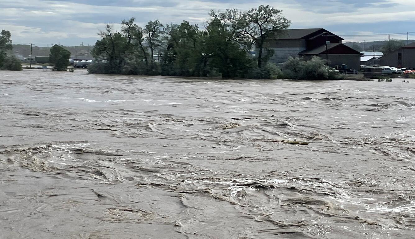
Floods are Deadly, Stay Aware
USGS collects flood data and conducts targeted flood science.
Earthquake Early Warning is Now Available along the West Coast
ShakeAlert provides valuable seconds that can save lives.
Volcanoes Around the World
USGS partners with many others to monitor our planet's volcanoes.
Hurricane Readiness, Resilience, and Response
Threats from these storms require integrated science and strong partnerships.
The Earth is a very dynamic place. Sometimes conditions change across its diverse landscape, leading to situations where natural hazards can become disasters that threaten society. The USGS has a long and storied history of monitoring and studying natural hazards of all kinds. Explore below for a bit more information about what we do and how we can help keep you safe.
A Leader in Natural Hazard Research
USGS science helps communities build resilience to natural hazards, focusing on science-based research, monitoring, and alerting to create a safer tomorrow.
The U.S. Geological Survey provides critical information to help protect communities from the natural hazards that occur every day. As the preeminent hazard science agency, we monitor everything from earthquakes to volcanoes, from landslides to flooding, and so much more. Our science is used by emergency responders and policymakers to support public safety, security, and economic well-being.