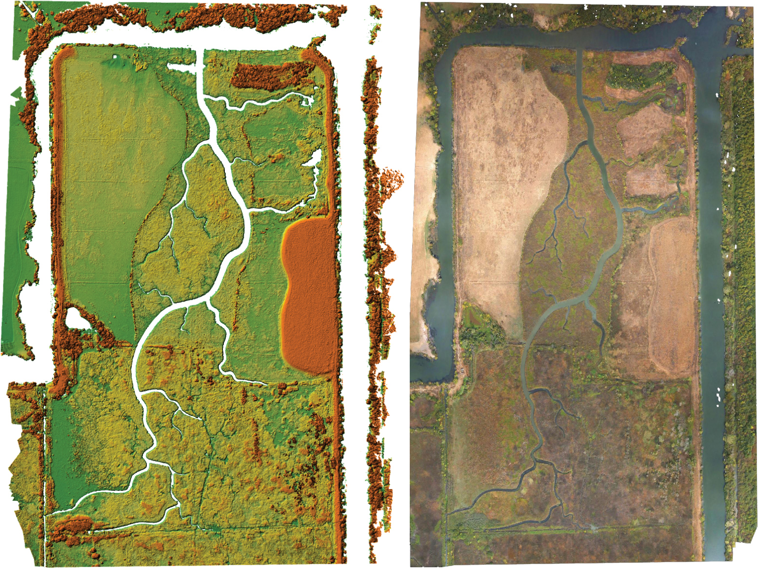
Imagery of Liberty Island Conservation Bank Wildlands restoration site

Detailed Description
Digital Surface Model (DSM) and orthomosaic image from the October 23, 2018 UAS survey.
Sources/Usage
Public Domain.

Official websites use .gov
A .gov website belongs to an official government organization in the United States.
Secure .gov websites use HTTPS
A lock () or https:// means you’ve safely connected to the .gov website. Share sensitive information only on official, secure websites.
Digital Surface Model (DSM) and orthomosaic image from the October 23, 2018 UAS survey.
Public Domain.