Global Food Security Analysis-Support Data at 30 Meters (GFSAD30) Project
The Overarching Goal of the GFSAD30 project is to map and produce cropland products of the world at 30 meter resolution.


Global Food Security
The global population has just topped the 7 billion mark – a stark reminder of the greatest threat facing humanity in the 21st Century - food security. Society faces real challenges ahead, particularly in managing water and food supplies, as well as energy, and they are all intimately connected in achieving global food security.
Mapping Cropland on a Global Scale
Part of the answer lies in understanding global croplands, both rainfed and irrigated, how they are used, their extents and how they can be better managed, particularly since they account for nearly 80% of all freshwater abstractions. Here technologies such as remote sensing will play an increasingly critical role – providing new spatial information to help manage croplands in a more productive and sustainable way.
Our Products
The GFSAD products are freely available for educational, research, or commercial applications. If you wish to cite the GFSAD products in a report or publication, please use the following citations:
Thenkabail P.S., Knox J.W., Ozdogan, M., Gumma, M.K., Congalton, R.G., Wu, Z., Milesi, C., Finkral, A., Marshall, M., Mariotto, I., You, S. Giri, C. and Nagler, P. 2012. Assessing future risks to agricultural productivity, water resources and food security: how can remote sensing help?. Photogrammetric Engineering and Remote Sensing, August 2012 Special Issue on Global Croplands: Highlight Article. 78(8): 773-782.
Teluguntla, P., Thenkabail, P.S., Xiong, J., Gumma, M.K., Giri, C., Milesi, C., Ozdogan, M., Congalton, R., Tilton, J., Sankey, T.R., Massey, R., Phalke, A., and Yadav, K. 2014. Global Cropland Area Database (GCAD) derived from Remote Sensing in Support of Food Security in the Twenty-first Century: Current Achievements and Future Possibilities. Chapter 7, Vol. II. Land Resources: Monitoring, Modelling, and Mapping, Remote Sensing Handbook edited by Prasad S. Thenkabail.
View Our Products

Support The Project
Collect land-use data with our mobile application. The app is simple to use and creates the most benefit for the project. Available for IOS and Android devices.
Get the AppMeet the Team
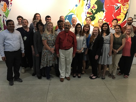
In 2013, the United States Geological Survey’s (USGS) John Wesley Powell Center launched a major new initiative – an international Working Group on Global Croplands (WGGC) and their Water Use for Food Security in the Twenty-first Century, led by Dr. Prasad Thenkabail (Research Geographer) from the USGS. Prasad has assembled a group of scientists from across the world, with skills spanning the disciplines necessary to grapple with these issues – to harness and share their collective knowledge on remote sensing, crop modelling, food security, water management and geographical information management.
- Dr. Prasad Thenkabail, PI, USGS
- Dr. Mutlu Ozdogan, co-I, UW
- Dr. Russ Congalton, co-I, UNH
- Dr. Chandra Giri, co-I, USGS EROS
- Dr. James Tilton, co-I, NASA GSFC
- Dr. Temuulen 'Teki' Sankey, co-I, NAU
- Dr. Terrance Slonecker co-I
- Dr. Mahesh Rao co-I
- Dr. Jennifer Dungan, NASA Ames
- Dr. Tyler Erickson, Google, Inc.
- Noel Gorelick, Google, Inc.
- Dr. Pardhasaradhi Teluguntla, BAERI\USGS
- Dr. Jun Xiong, NAU\USGS
- Dr. Murali Krishna Gumma, ICRISAT
- Dr. Venkateswarlu Dheeravath, UN
- Richard Massey, PhD Student, NAU/USGS
- Aparna Phalke, PhD Student, UW
- Kamini Yadav, PhD Student, UNH
- Gu Jianyu, PhD Student, UNH
- Varsha Vijay, PhD Student, Duke University
- Adam Oliphant, MS, USGS
- Corryn Smith, MS, NAU/USGS
- Tyler Thatcher, BS Student, NAU/USGS
- Michela Marinelli, UN FAO
- Fabio Grita, UN FAO