
Help support the project by collecting data from around the world. Training and validation for land-use and more specifically crop type is extremely limited. Every location you collect with this mobile app improves our products. All of the data collected is made freely available for use, and we encourage collaboration with other projects.
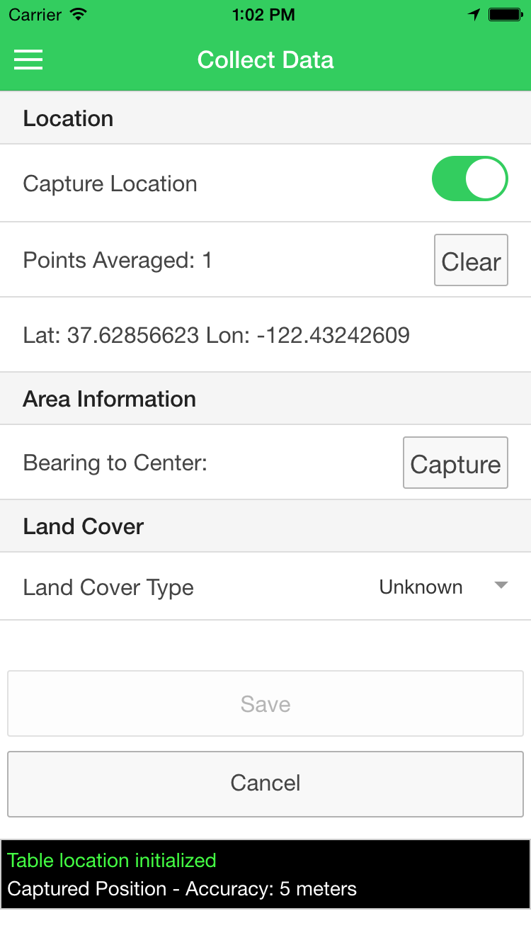
The mobile application is quite simple in its operation. To collect data for the project simply click the collect data button and fill out the appropriate fields. You must also enable the application to collect location information. Use the heading capture button to get the heading to the center of the area of interest from your current location.
Hold the mobile device in landscape mode to take photos.
Can I be on the edge of the field? The application and its workflow is setup so that you do not need to be iat the center of the area of interest. Instead, use the built-in compass to capture the direction to the center of the area from your current location.
How many pictures should I take? For most locations, two is sufficient. One picture can give context and show surrounding areas while a second picture can show a closeup of the vegetation or crop at the location.
Why is the heading inaccurate? The built in compass needs to regularly be calibrated. Android devices do not automatically prompt the user to calibrate the device. To do so, simply rotate the device on each axis. Do this often or whenever you enter a new environment.
What information do you collect? The app only collects the information that you submit. This includes the gps location for each point, any compass and heading data related to the point and photos taken with the app.