U.S. flag

An official website of the United States government

Landslide Hazards Program

The primary objective of the National Landslide Hazards Program is to reduce long-term losses from landslide hazards by improving our understanding of the causes of ground failure and suggesting mitigation strategies.

News

New USGS map shows where landslides are most likely to occur in U.S.

New USGS map shows where landslides are most likely to occur in U.S.

Un nuevo mapa del USGS muestra dónde es más probable que ocurran deslizamientos de tierra en el país

Un nuevo mapa del USGS muestra dónde es más probable que ocurran deslizamientos de tierra en el país

USGS Firelight: PHIRE Edition - Vol. 2 | Issue 2

Publications

RegionGrow3D: A deterministic analysis for characterizing discrete three-dimensional landslide source areas on a regional scale

Regional-scale characterization of shallow landslide hazards is important for reducing their destructive impact on society. These hazards are commonly characterized by (a) their location and likelihood using susceptibility maps, (b) landslide size and frequency using geomorphic scaling laws, and (c) the magnitude of disturbance required to cause landslides using initiation thresholds. Typically, t
Authors
Nicolas Wahde Mathews, Ben Leshchinksy, Benjamin B. Mirus, Michael J. Olsen, Adam M. Booth

Constraining mean landslide occurrence rates for non-temporal landslide inventories using high-resolution elevation data

Constraining landslide occurrence rates can help to generate landslide hazard models that predict the spatial and temporal occurrence of landslides. However, most landslide inventories do not include any temporal data due to the difficulties of dating landslide deposits. Here we introduce a method for estimating the mean landslide occurrence rate of deep-seated rotational and translational slides
Authors
Jacob Bryson Woodard, Sean Richard LaHusen, Benjamin B. Mirus, Katherine R. Barnhart

A robust quantitative method to distinguish runoff-generated debris flows from floods

Debris flows and floods generated by rainfall runoff occur in rocky mountainous landscapes and burned steeplands. Flow type is commonly identified post-event through interpretation of depositional structures, but these may be poorly preserved or misinterpreted. Prior research indicates that discharge magnitude is commonly amplified in debris flows relative to floods due to volumetric bulking and i
Authors
David B. Cavagnaro, Scott W. McCoy, Jason W. Kean, Matthew A. Thomas, Donald N. Lindsay, Brian W. McArdell, Jacob Hirschberg

Science

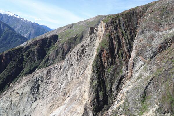
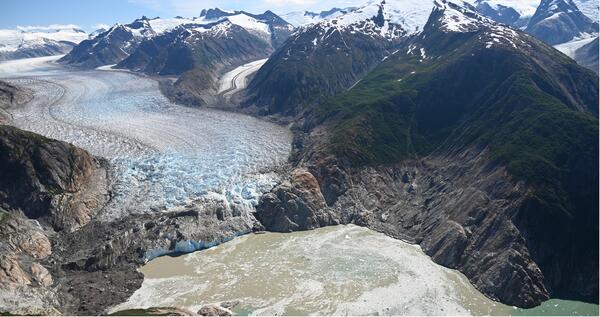
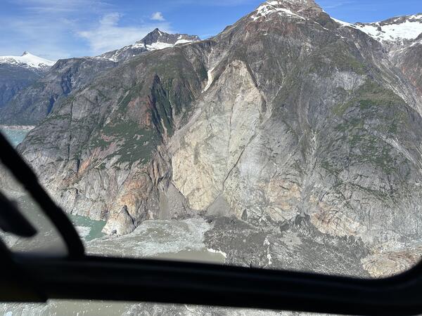
2024 Pedersen Lagoon Landslide-Generated Tsunami

A landslide produced a tsunami in Pedersen Lagoon, southwest of Seward, Alaska on Wednesday, August 7th, 2024, at approximately 04:55 AKDT / 12:55 UTC. Preliminary surveying indicates that the landslide generated a tsunami of 17 meters high (approx. 56 ft) or more in Upper Pedersen Lagoon, reducing to about one meter high (approx. 3 feet) in Lower Pedersen Lagoon. Runup heights reported here are...
link

2024 Pedersen Lagoon Landslide-Generated Tsunami

A landslide produced a tsunami in Pedersen Lagoon, southwest of Seward, Alaska on Wednesday, August 7th, 2024, at approximately 04:55 AKDT / 12:55 UTC. Preliminary surveying indicates that the landslide generated a tsunami of 17 meters high (approx. 56 ft) or more in Upper Pedersen Lagoon, reducing to about one meter high (approx. 3 feet) in Lower Pedersen Lagoon. Runup heights reported here are...
Learn More

Landslide Basics

Landslides occur in all 50 states and territories and they affect lives, property, infrastructure, and the environment. Understanding when, where, and how landslides occur can help to reduce the risk of living with these natural hazards.
link

Landslide Basics

Landslides occur in all 50 states and territories and they affect lives, property, infrastructure, and the environment. Understanding when, where, and how landslides occur can help to reduce the risk of living with these natural hazards.
Learn More

Improving Postfire Debris-Flow Hazard Assessments In The Pacific Northwest Through Application Of Debris-Flow Models

As part of the Post-fire Hazards and Impacts to Resources and Ecosystems (PHIRE): Support for Response, Recovery, and Mitigation Project, the PHIRE Debris Flow Hazard team is engaging in several studies to better understand the spatial and temporal drivers of postfire debris flows and improve postfire hazard assessments across northern California and the Pacific Northwest.
link

Improving Postfire Debris-Flow Hazard Assessments In The Pacific Northwest Through Application Of Debris-Flow Models

As part of the Post-fire Hazards and Impacts to Resources and Ecosystems (PHIRE): Support for Response, Recovery, and Mitigation Project, the PHIRE Debris Flow Hazard team is engaging in several studies to better understand the spatial and temporal drivers of postfire debris flows and improve postfire hazard assessments across northern California and the Pacific Northwest.
Learn More

Multimedia

¿Dónde Ocurren los Deslizamientos de Tierra?
where do landslides occur?
Where Do Landslides Occur?
Photo of geologist holding survey equipment with mountains in the background
2024 Pedersen Lagoon Landslide Tsunami Damage Surveying
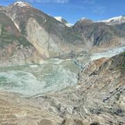
Photo of landslide source area with mountains and glacier in the background
2024 Pedersen Lagoon Landslide Landslide Source
Photo showing damaged coniferous trees
2024 Pedersen Lagoon Landslide Damaged Trees
Photo showing flattened vegetation following the landslide
2024 Pedersen Lagoon Landslide Flattened Vegetation
Up close view of the lower zone of the landslide with the glacier in the bottom left corner
2024 Pedersen Lagoon Landslide Runout
Close up photo of a landslide in mountainous area with a glacier in the background
2024 Pedersen Lagoon Landslide Source Area and Runout
Photo of marshy land area showing tsunami impact
2024 Pedersen Lagoon Landslide Tsunami Damage
Was this page helpful?