
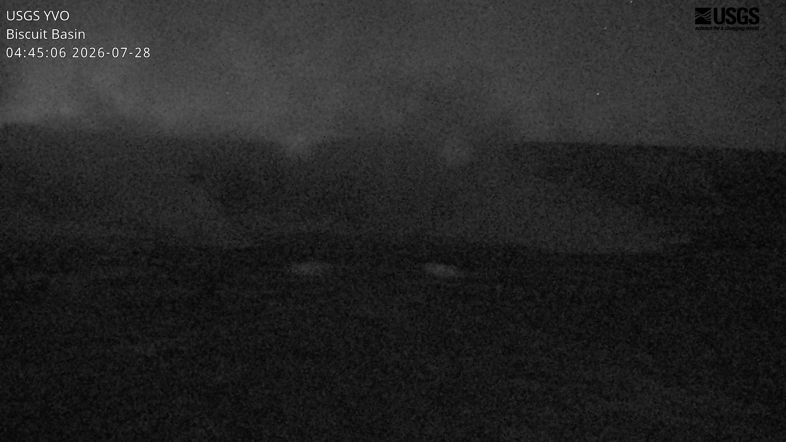
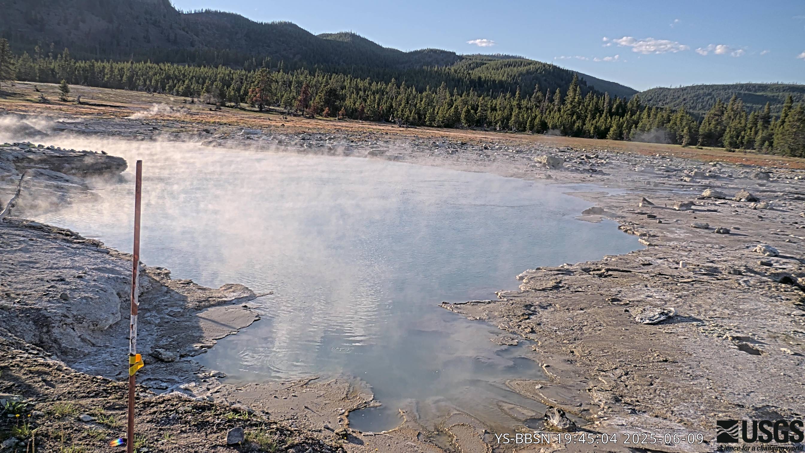
The camera view is east-southeast from the seismic/infrasound monitoring station in Biscuit Basin, Yellowstone National Park.
Webcams
The USGS maintains a variety of webcams across the U.S. These webcams provide valuable research information and data to the USGS scientists, the National Weather Service, emergency managers, and area residents to evaluate near, real-time conditions during natural hazard events (most webcams refresh every 5 - 20 minutes).
Filter Total Items: 347
Biscuit Basin webcam
The camera view is east-southeast from the seismic/infrasound monitoring station in Biscuit Basin, Yellowstone National Park.
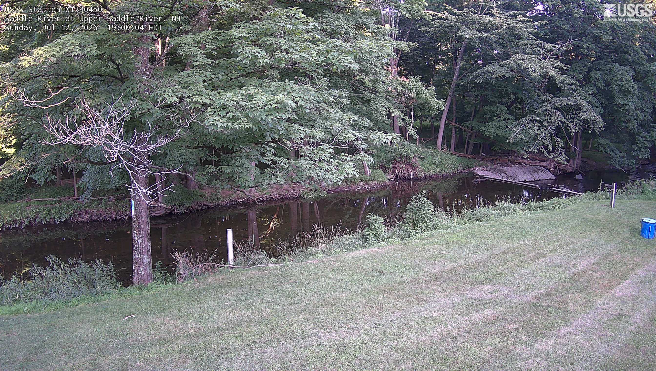
Streamgage 01390450 Saddle River at Upper Saddle River, NJ
Streamgage 01390450 Saddle River at Upper Saddle River, NJWebcam at USGS Streamgage 01390450 Saddle River at Upper Saddle River, NJ
Visit Water Data for the Nation to get current data for this site.
Streamgage 01390450 Saddle River at Upper Saddle River, NJ
Streamgage 01390450 Saddle River at Upper Saddle River, NJWebcam at USGS Streamgage 01390450 Saddle River at Upper Saddle River, NJ
Visit Water Data for the Nation to get current data for this site.
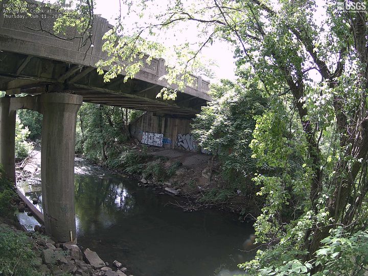
Streamgage 01464000 Assunpink Creek at Trenton, NJ
Streamgage 01464000 Assunpink Creek at Trenton, NJWebcam at USGS Streamgage 01464000 Assunpink Creek at Trenton, NJ
Visit Water Data for the Nation to get current data for this site.
Streamgage 01464000 Assunpink Creek at Trenton, NJ
Streamgage 01464000 Assunpink Creek at Trenton, NJWebcam at USGS Streamgage 01464000 Assunpink Creek at Trenton, NJ
Visit Water Data for the Nation to get current data for this site.
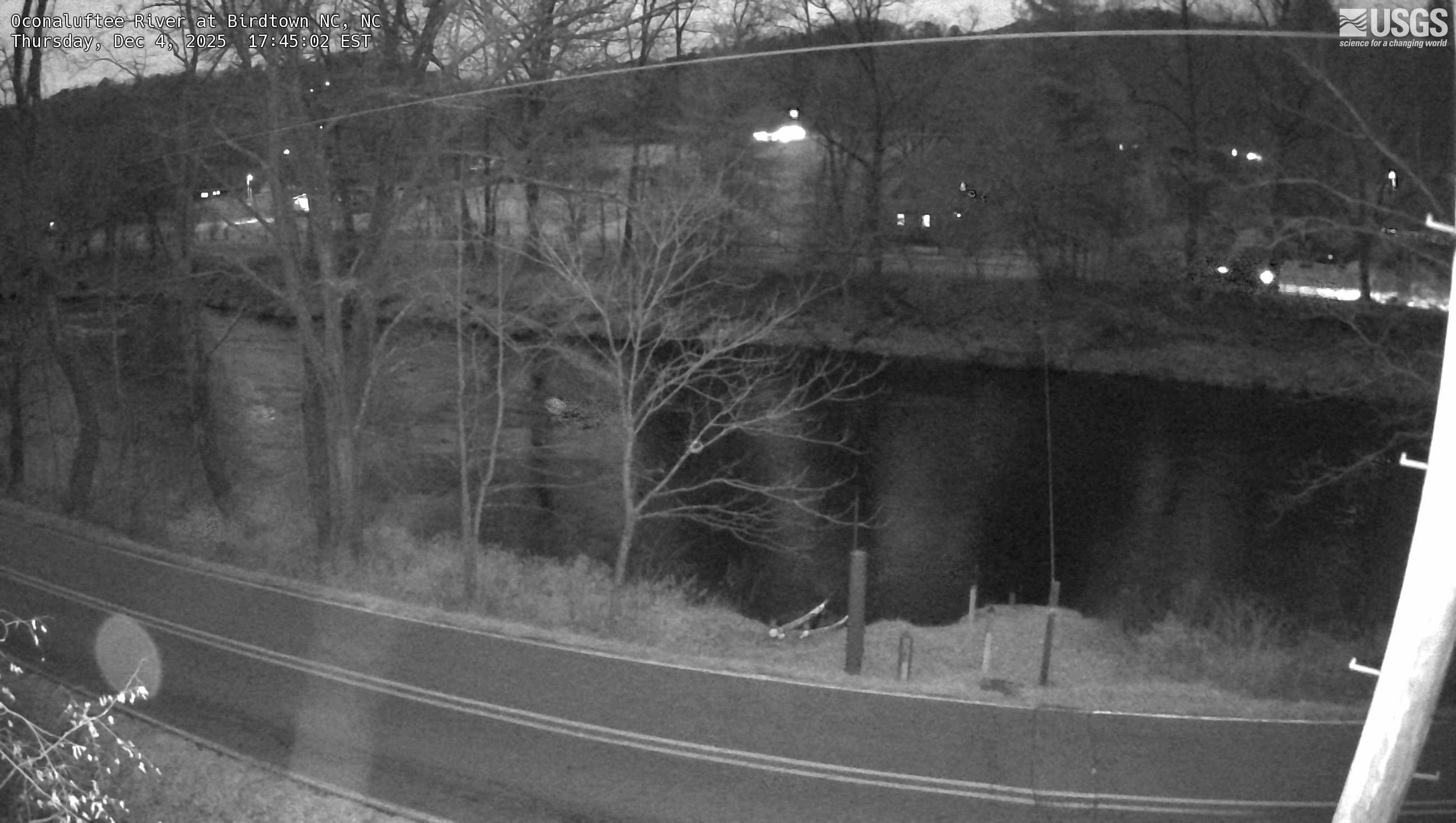
Oconaluftee River at Birdtown, NC (03512000)
We have installed a webcam at Oconaluftee River at Birdtown, NC to allow you to view the current conditions.
We have installed a webcam at Oconaluftee River at Birdtown, NC to allow you to view the current conditions.
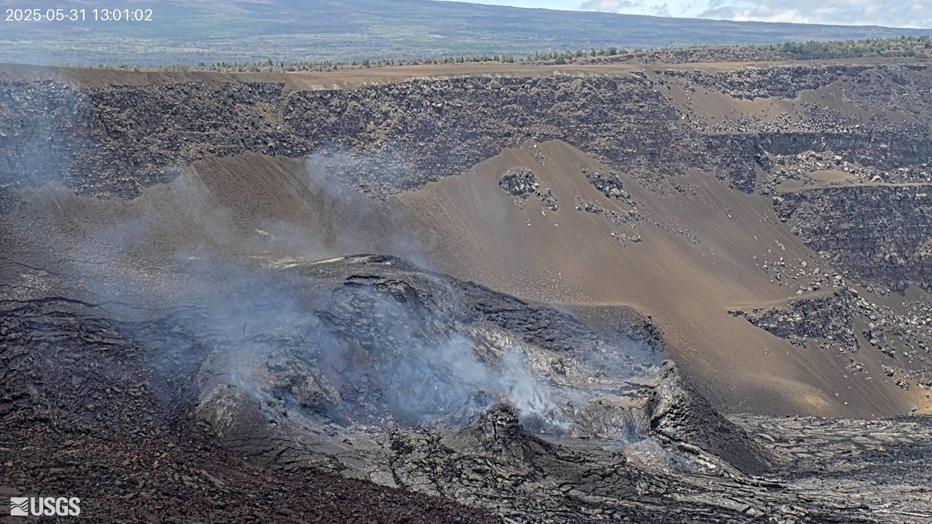
[MSTcam] South Pit and Upper Southwest Rift Zone - thermal image from Moku‘āweoweo south rim
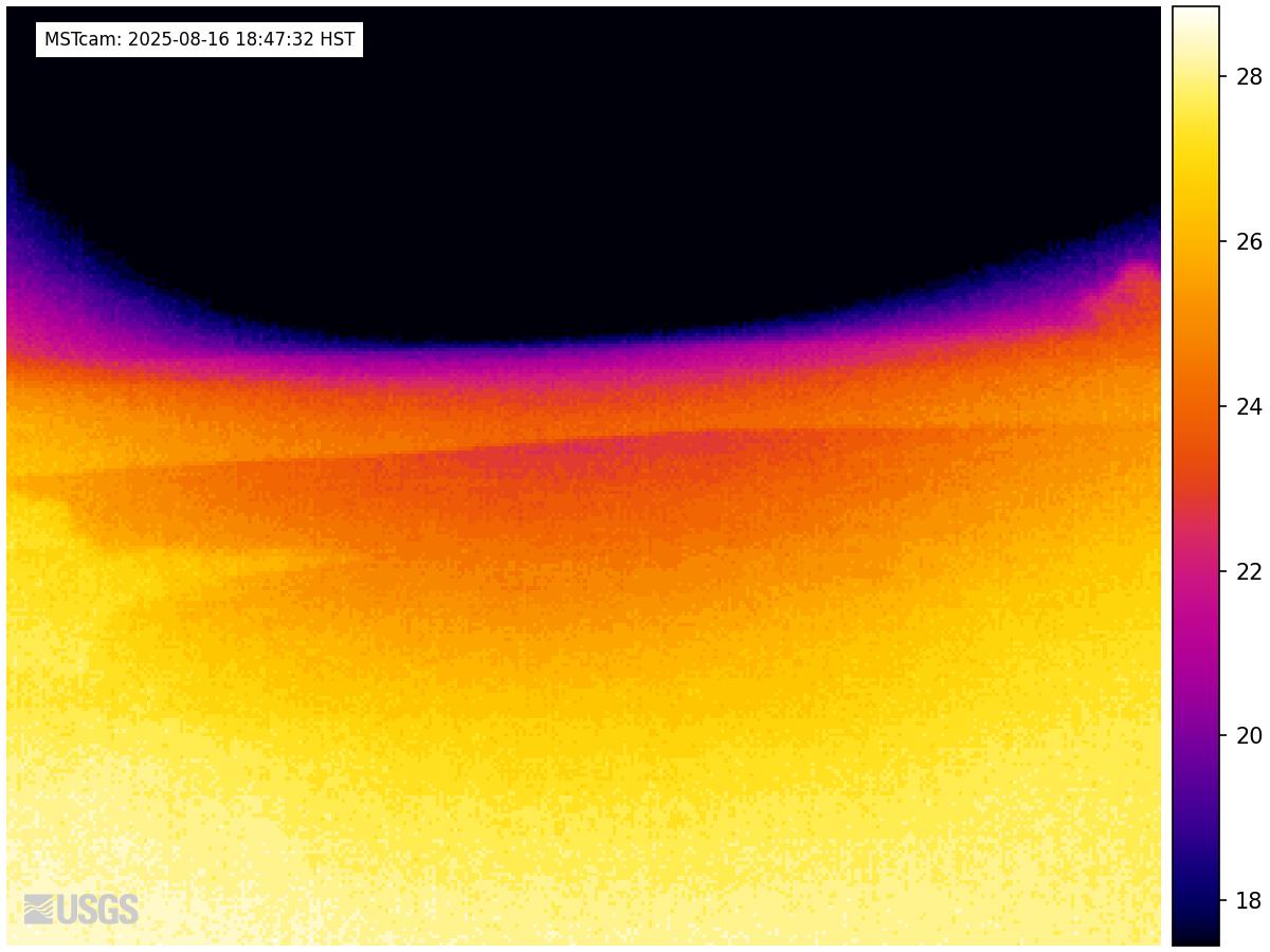
[MSTcam] South Pit and Upper Southwest Rift Zone - thermal image from Moku‘āweoweo south rimThis image is from a research camera positioned on the south rim of Mokuʻāweoweo, Mauna Loa's summit caldera, in Hawaiʻi Volcanoes National Park. The camera looks west-southwest, across South Pit, focusing on the south part of Mauna Loa's summit region and upper Southwest Rift Zone.
[MSTcam] South Pit and Upper Southwest Rift Zone - thermal image from Moku‘āweoweo south rim
[MSTcam] South Pit and Upper Southwest Rift Zone - thermal image from Moku‘āweoweo south rimThis image is from a research camera positioned on the south rim of Mokuʻāweoweo, Mauna Loa's summit caldera, in Hawaiʻi Volcanoes National Park. The camera looks west-southwest, across South Pit, focusing on the south part of Mauna Loa's summit region and upper Southwest Rift Zone.
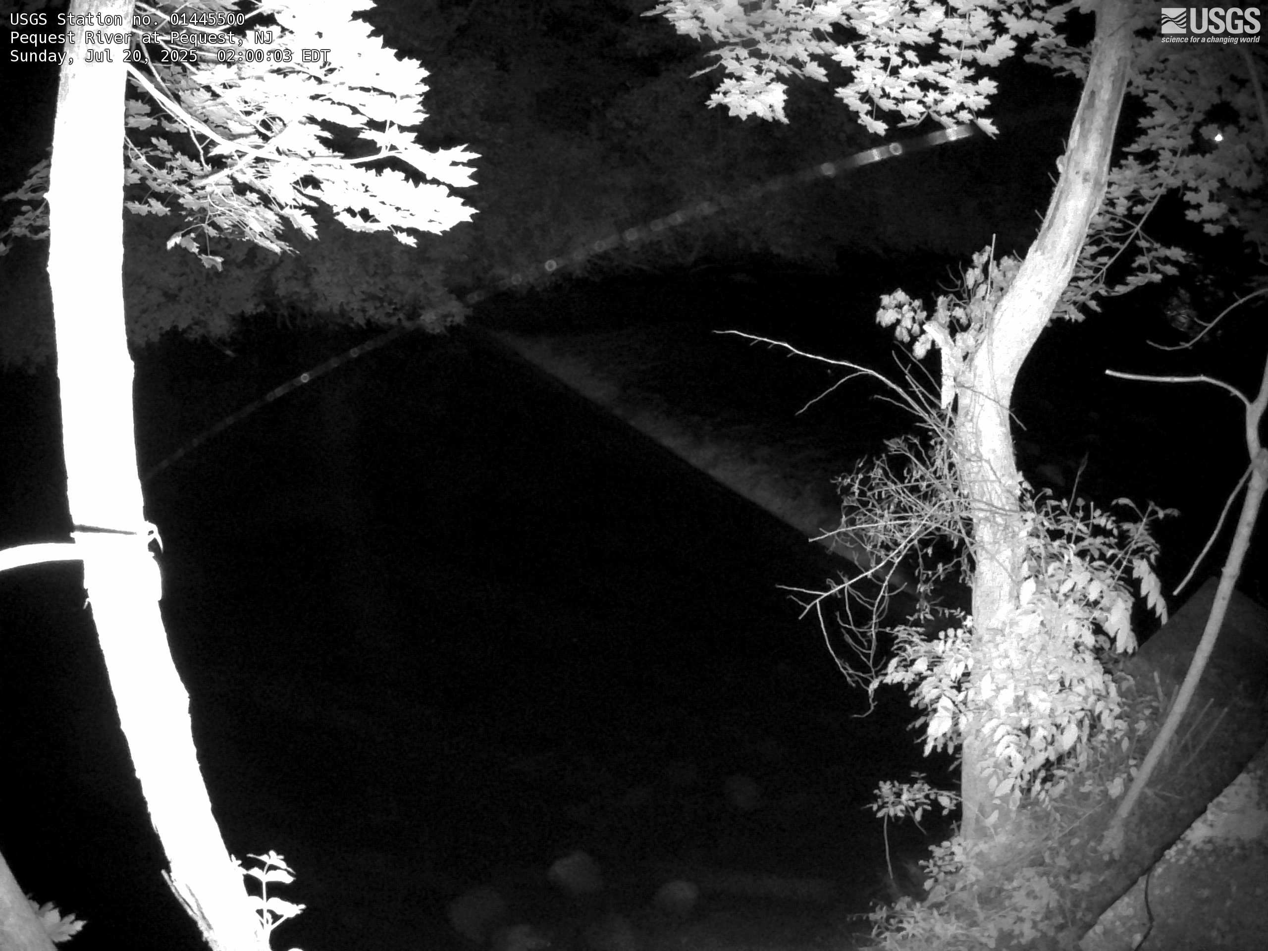
Streamgage 01445500 Pequest River at Pequest, NJ
Webcam at USGS Streamgage 01445500 Pequest River at Pequest, NJ
Visit Water Data For the Nation to get current data for this site.
Webcam at USGS Streamgage 01445500 Pequest River at Pequest, NJ
Visit Water Data For the Nation to get current data for this site.
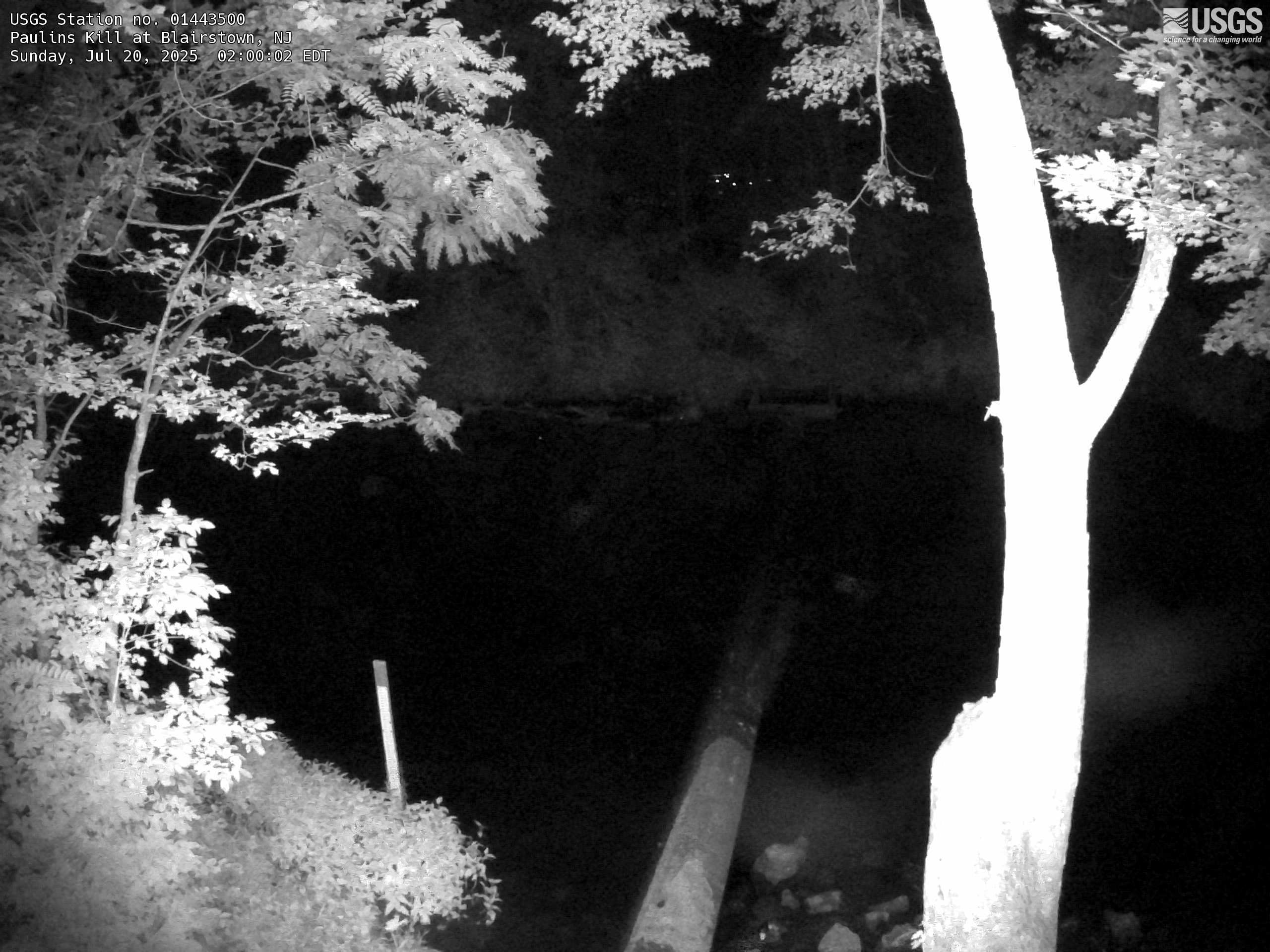
Streamgage 01443500 Paulins Kill at Blairstown, NJ
Streamgage 01443500 Paulins Kill at Blairstown, NJWebcam at USGS Streamgage 01443500 Paulins Kill at Blairstown, NJ
Visit Water Data For the Nation to get current data for this site.
Streamgage 01443500 Paulins Kill at Blairstown, NJ
Streamgage 01443500 Paulins Kill at Blairstown, NJWebcam at USGS Streamgage 01443500 Paulins Kill at Blairstown, NJ
Visit Water Data For the Nation to get current data for this site.
Black Diamond Pool (Biscuit Basin) webcam
The camera view is north-northwest from the Biscuit Basin boardwalk looking at Black Diamond Pool, which is in the foreground (the tilted viewing angle is due to the slope of the boardwalk).
The camera view is north-northwest from the Biscuit Basin boardwalk looking at Black Diamond Pool, which is in the foreground (the tilted viewing angle is due to the slope of the boardwalk).
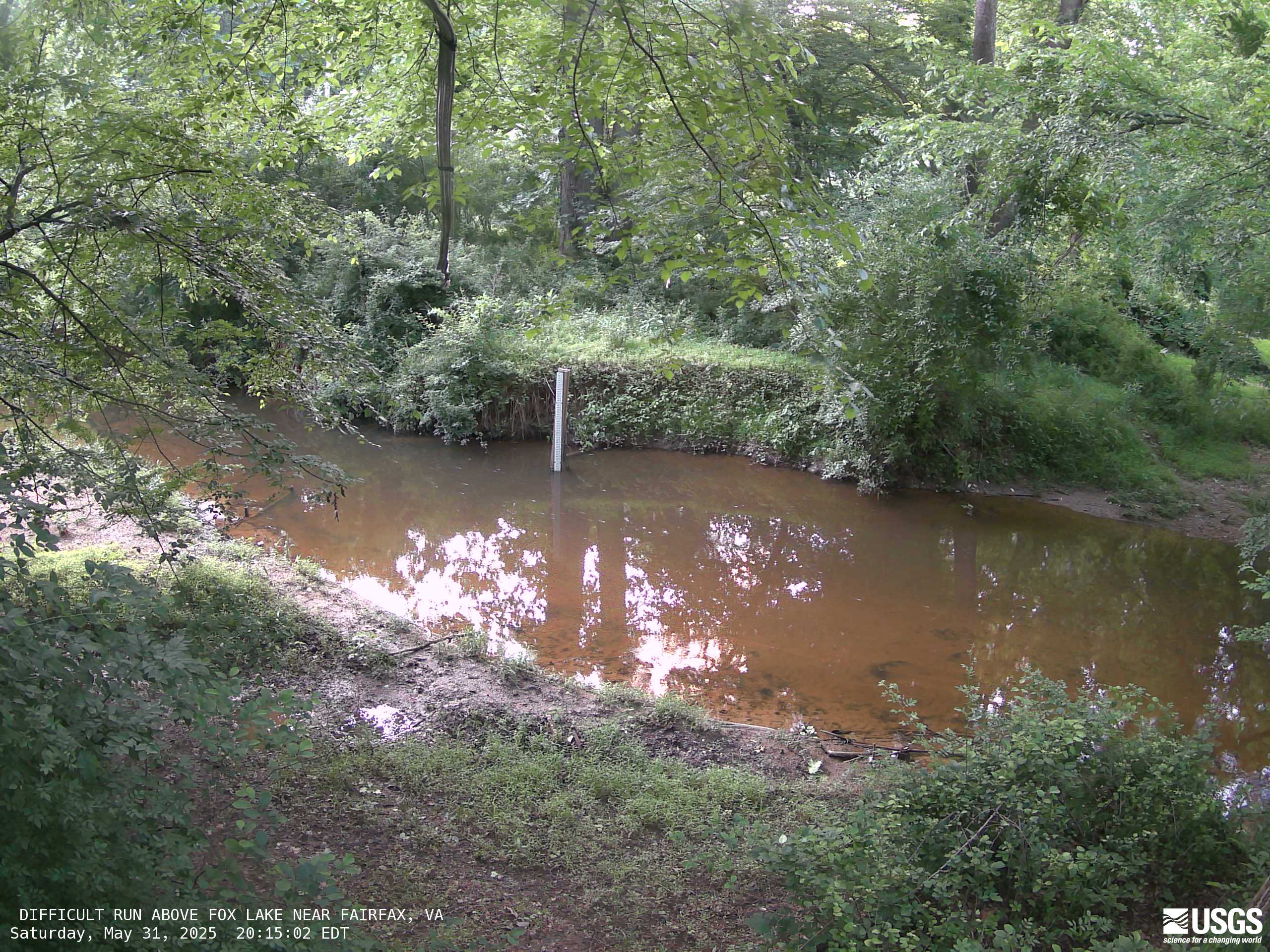
Difficult Run Above Fox Lake Near Fairfax, Virginia
Difficult Run Above Fox Lake Near Fairfax, VirginiaMost recent imagery of the Difficult Run stream in Fairfax VA. Visit the webcam site for previous images, timelapse video, and measured parameters.
This webcam is a part of the Fairfax County Water Resources Monitoring Network.
[V3cam] Kīlauea volcano, Hawaii (south Halemaʻumaʻu crater)
[V3cam] Kīlauea volcano, Hawaii (south Halemaʻumaʻu crater)Last 24 Hours - Live view of Halemaʻumaʻu crater within Kaluapele (Kīlauea caldera), from the south rim of the crater [V3cam]. This camera is a pan-tilt-zoom model and the view may change depending on activity.
Disclaimer
Blue River below Dillon, CO (09050700)
Webcam at USGS Streamgage 09050700 Blue River below Dillon, CO.
Visit Water Data For the Nation to get current data for this site.
Webcam at USGS Streamgage 09050700 Blue River below Dillon, CO.
Visit Water Data For the Nation to get current data for this site.
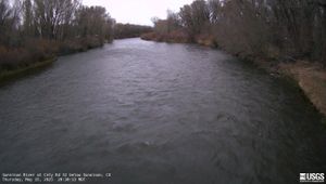
Gunnison River at County Road 32 below Gunnison, CO (383103106594200)
Gunnison River at County Road 32 below Gunnison, CO (383103106594200)Webcam at USGS Streamgage 383103106594200 Gunnison River at County Road 32 below Gunnison, CO.
Visit Water Data For the Nation to get current data for this site.

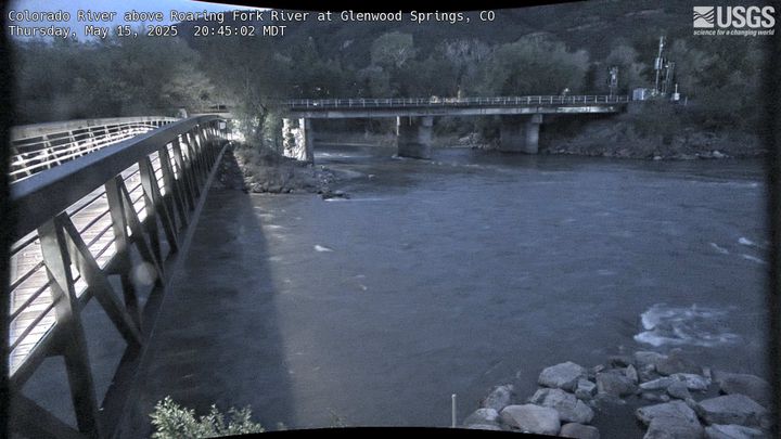
Colorado River above Roaring Fork River at Glenwood Springs, CO (393259107194801)
Colorado River above Roaring Fork River at Glenwood Springs, CO (393259107194801)Webcam at USGS Streamgage 393259107194801 Colorado River above Roaring Fork River at Glenwood Springs, CO.
Colorado River above Roaring Fork River at Glenwood Springs, CO (393259107194801)
Colorado River above Roaring Fork River at Glenwood Springs, CO (393259107194801)Webcam at USGS Streamgage 393259107194801 Colorado River above Roaring Fork River at Glenwood Springs, CO.
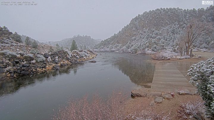
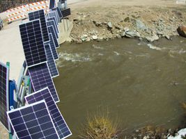
Arkansas River near Nathrop, CO (07091200)
Webcam at USGS Streamgage 07091200 Arkansas River near Nathrop, CO.
Visit Water Data For the Nation to get current data for this site.
Webcam at USGS Streamgage 07091200 Arkansas River near Nathrop, CO.
Visit Water Data For the Nation to get current data for this site.
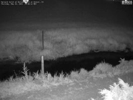
Harvard Gulch at Harvard Park at Denver, CO (06711575)
Harvard Gulch at Harvard Park at Denver, CO (06711575)Webcam at USGS Streamgage 06711575 Harvard Gulch at Harvard Park at Denver, CO.
Visit Water Data For the Nation to get current data for this site.
Harvard Gulch at Harvard Park at Denver, CO (06711575)
Harvard Gulch at Harvard Park at Denver, CO (06711575)Webcam at USGS Streamgage 06711575 Harvard Gulch at Harvard Park at Denver, CO.
Visit Water Data For the Nation to get current data for this site.
Roaring Fork River at Glenwood Springs, CO (09085000)
Roaring Fork River at Glenwood Springs, CO (09085000)Webcam at USGS Streamgage 09085000 Roaring Fork River at Glenwood Springs, CO.
Visit Water Data For the Nation to get current data for this site.
Roaring Fork River at Glenwood Springs, CO (09085000)
Roaring Fork River at Glenwood Springs, CO (09085000)Webcam at USGS Streamgage 09085000 Roaring Fork River at Glenwood Springs, CO.
Visit Water Data For the Nation to get current data for this site.
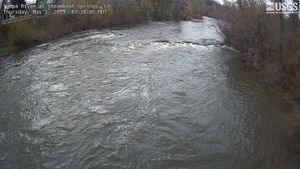
Yampa River at 5th Street Bridge in Steamboat Springs, CO (Upstream of 09239500)
Yampa River at 5th Street Bridge in Steamboat Springs, CO (Upstream of 09239500)Yampa River at 5th Street Bridge in Steamboat Springs, CO (Upstream of 09239500)
Webcam upstream of USGS Streamgage 09239500 Yampa River at Steamboat Springs, CO.
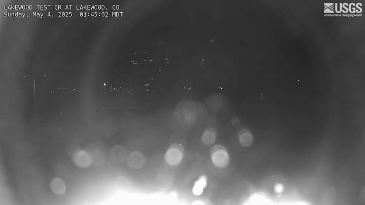
Lakewood Test Site Denver Federal Center Bldg. 53
Webcam at Lakewood Test Site Denver Federal Center Bldg. 53.
Visit Water Data For the Nation to get current data for this site.
Webcam at Lakewood Test Site Denver Federal Center Bldg. 53.
Visit Water Data For the Nation to get current data for this site.
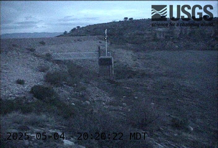
Teller Reservoir near Stone City, CO (07099233)
Webcam at USGS Streamgage 07099233 Teller Reservoir near Stone City, CO.
Visit Water Data For the Nation to get current data for this site.
Webcam at USGS Streamgage 07099233 Teller Reservoir near Stone City, CO.
Visit Water Data For the Nation to get current data for this site.
Willow Creek below Cabin Creek near Granby, CO (09019850)
Willow Creek below Cabin Creek near Granby, CO (09019850)Webcam at USGS Streamgage 09019850 Willow Creek below Cabin Creek near Granby, CO
Visit Water Data For the Nation to get current data for this site.
Willow Creek below Cabin Creek near Granby, CO (09019850)
Willow Creek below Cabin Creek near Granby, CO (09019850)Webcam at USGS Streamgage 09019850 Willow Creek below Cabin Creek near Granby, CO
Visit Water Data For the Nation to get current data for this site.
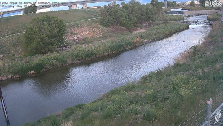
Sand Creek at Mouth near Commerce City, CO (394839104570300)
Sand Creek at Mouth near Commerce City, CO (394839104570300)Webcam at USGS Streamgage 394839104570300 Sand Creek at Mouth near Commerce City, CO.
Visit Water Data For the Nation to get current data for this site.
Sand Creek at Mouth near Commerce City, CO (394839104570300)
Sand Creek at Mouth near Commerce City, CO (394839104570300)Webcam at USGS Streamgage 394839104570300 Sand Creek at Mouth near Commerce City, CO.
Visit Water Data For the Nation to get current data for this site.