Established in 1962, the Coastal and Marine Hazards and Resources Program (CMHRP) is the primary Federal program for marine geology and physical science research and is responsible for the Nation’s entire coastal and marine landscape. Our office has grown from a handful of researchers exploring the Atlantic continental margin, to a team of about 100 studying many of society’s most pressing topics, such as natural disasters (e.g., hurricanes, underwater earthquakes, and tsunamis), critical minerals, and energy.
We have well-established expertise and an international reputation in marine geology and geophysics, oceanography, environmental geochemistry, energy, geohazards, and informatics. Our scientists conduct mapping, modeling, and data analysis to better understand the past, present, and future states of coastal and marine systems and resources. Decisions to manage and use resources based on our research lead to stronger safeguarding of communities, infrastructure, and the U.S. economy.
Our center is strategically located in Woods Hole, Massachusetts—a world renowned hub for the study of earth and ocean science. We belong to a vibrant scientific community where we work collaboratively with local institutions, such as the Woods Hole Oceanographic Institution, the Marine Biological Laboratory, the Northeast Fisheries Science Center of the National Oceanic and Atmospheric Administration, the Sea Education Association, the U.S. Coast Guard, and the Woods Hole Research Center. Our staff has a long history of collaborating in research, teaching, training, and technology transfer with other Federal and State agencies, academic institutions, and international entities.
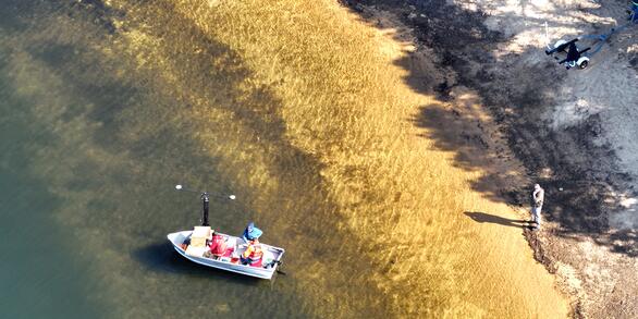
We have many specialized capabilities, including high-resolution seafloor and subbottom mapping systems, aerial drones, geochemistry and sediment laboratories, a gas hydrates pressure core analysis laboratory, high-performance computing resources, an advanced autonomous surface vehicle for shallow-water geophysical studies, and small-boat coastal and lake research vessels. Staff continually develop innovative equipment to fulfill science needs and further increase research efficiency.
Data collected by USGS scientists are managed and maintained at the center to ensure they are readily available to stakeholders in a variety of formats and online systems.
Our expertise and capabilities respond directly to the needs of resource managers, decision makers, and the public across the Nation’s coastal and submerged lands to promote safer, more productive coastal communities and improve management of natural resources.