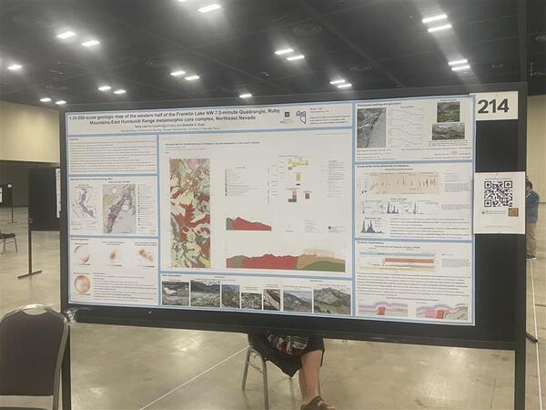
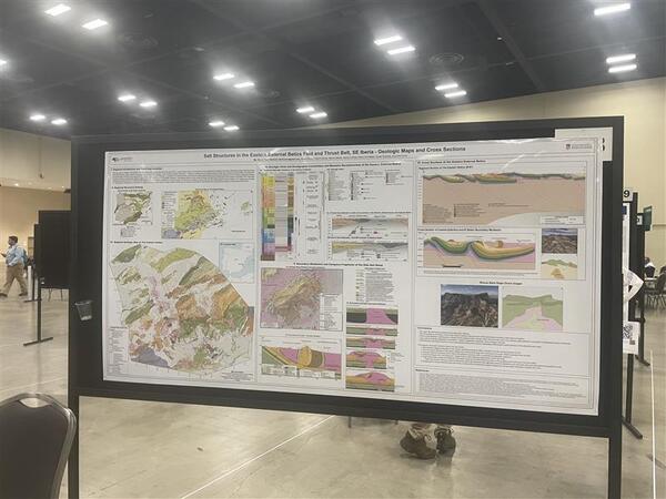
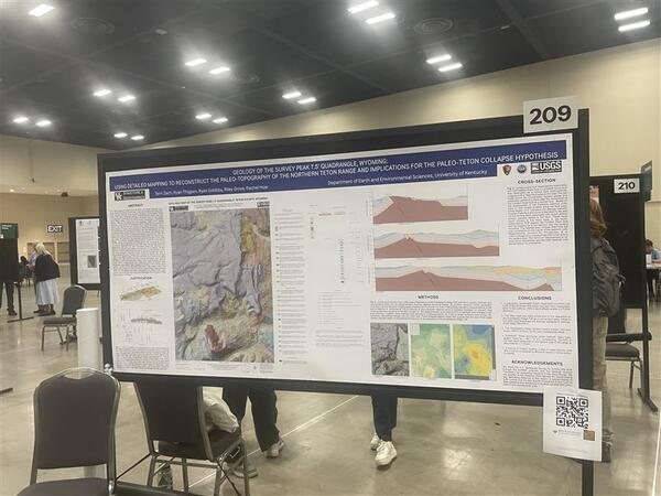
U.S. flag

An official website of the United States government

Multimedia

Images

Depiction of the Geoheritage Sites of the Nation Explorer showing the continental United States with green location markers of geoheritage sites.
Geoheritage Explorer.jpg

This is an image of the Geoheritage Sites of the Nation Explorer, which is an interactive web map application featuring the 55 geoheritage sites from the Geoheritage Sites of the Nation Data Release v.1. 

This is an image of the Geoheritage Sites of the Nation Explorer, which is an interactive web map application featuring the 55 geoheritage sites from the Geoheritage Sites of the Nation Data Release v.1. 

Report that provides the first economic analysis of geological mapping conducted for the entire United States.
geologicalmappingeconomics.png

Cover picture of the report titled Economic Analysis of the Costs and Benefits of Geological Mapping in the United States of America from 1994 to 2019.

Cover picture of the report titled Economic Analysis of the Costs and Benefits of Geological Mapping in the United States of America from 1994 to 2019.

Profile picture for Kate Ritzel who is a woman with brown hair wearing a shite shirt.
KR.jpg
KR.jpg
KR.jpg

Profile picture for Kate Ritzel, a physical scientist on National Cooperative Geologic Mapping Program (NCGMP) staff.

Profile picture for Kate Ritzel, a physical scientist on National Cooperative Geologic Mapping Program (NCGMP) staff.

Robert Wardwell Profile Picture

Profile picture for Robert Wardwell

Geologist / Data Manager / Developer

National Cooperative Geologic Mapping Program

 AASG President Jessica Moore and Brunton CEO Lauren Heerschap present BSGMC winner Andrew Yokel-Deliduka with the 1st place prize
2024 BSGMC 1st Place.jpg

BSGMC 2024 first place winner is Andrew Yokel-Deliduka with AASG President Jessica Moore and Brunton CEO Lauren Heerschap

BSGMC 2024 first place winner is Andrew Yokel-Deliduka with AASG President Jessica Moore and Brunton CEO Lauren Heerschap

BSGMC student presents poster at GSA annual meeting
230.jpg
230.jpg
230.jpg

Each year, the US Geological Survey National Cooperative Geologic Mapping Program, in partnership with the Association of American State Geologists, the American Institute of Professional Geologists, Geological Society of America (GSA), and American Geosciences Institute hosts the annual Best Student Geologic Map Competition (BSGMC) 

Each year, the US Geological Survey National Cooperative Geologic Mapping Program, in partnership with the Association of American State Geologists, the American Institute of Professional Geologists, Geological Society of America (GSA), and American Geosciences Institute hosts the annual Best Student Geologic Map Competition (BSGMC) 

Videos

Getting Started With GeMS, Part A

Getting Started With GeMS, Part A - An introduction to the GeMS schema, the GeMS Tools ArcGIS toolbox, and how to prepare ArcMap for digitizing.

Getting Started With GeMS, Part A - An introduction to the GeMS schema, the GeMS Tools ArcGIS toolbox, and how to prepare ArcMap for digitizing.

Digitize an Analog Map With GeMS, Part B1

Digitize an Analog Map With GeMS, Part B1 - How to create an empty GeMS geodatabase in ArcMap, digitize contacts from a scanned geologic map, and create map unit polygons.

Digitize an Analog Map With GeMS, Part B1 - How to create an empty GeMS geodatabase in ArcMap, digitize contacts from a scanned geologic map, and create map unit polygons.

Digitize an Analog Map With GeMS, Part B2

Digitize an Analog Map With GeMS, Part B2 - Digitize orientation points and check topology.

Digitize an Analog Map With GeMS, Part B2 - Digitize orientation points and check topology.

Digitize an Analog Map With GeMS, Part B3

Digitize an Analog Map With GeMS, Part B3 - How to complete nonspatial tables, validate a GeMS database, and symbolize features.

Digitize an Analog Map With GeMS, Part B3 - How to complete nonspatial tables, validate a GeMS database, and symbolize features.

Translate a Digital Map With GeMS, Part C1

Translate a Digital Map With GeMS, Part C1 - How to load map unit polygons, lines, and cross section data from another schema to GeMS.

Translate a Digital Map With GeMS, Part C1 - How to load map unit polygons, lines, and cross section data from another schema to GeMS.

Was this page helpful?