
Landsat Science Products
Unveiling change through the power of Landsat science
Earth Observation Case Studies
Urban Change, Machine Learning, Agriculture, User Profiles and More!
National Land Imaging Program
Our Nation’s economic security and environmental vitality rely on continuous monitoring of the Earth’s continents, islands, and coastal regions.
The USGS National Land Imaging (NLI) Program makes it possible to record, study, and understand how the surface of the Earth is changing at local, regional, national and global scales.
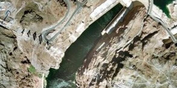
Landsat Satellites

Over the course of fifty years, eight Landsat satellites have observed the Earth's surface. View each satellite's history and science including first light images, significant events, and unique science for each satellite.
RCA-EO
The Requirements, Capabilities, and Analysis for Earth Observations (RCA-EO) initiative helps USGS and partner agencies assess how well current and planned Earth-observing systems meet national needs. By comparing observation requirements with available satellite capabilities, RCA-EO identifies gaps and informs planning for future Earth observation systems.
More to Explore
Follow these links to learn more about our remote sensing research partnerships, how to access and download data, and find our image collections, news articles, and more.
News
NASA Releases Landsat 10 Spacecraft Request for Proposal
America at 250, Seen from Space
Annual NLCD Collection 1.2 Now Available
Publications
Across-track tilt concept for sun glint mitigation in future Earth-observing missions Across-track tilt concept for sun glint mitigation in future Earth-observing missions
Quantifying Landsat’s contributions to U.S. agricultural and forestry applications Quantifying Landsat’s contributions to U.S. agricultural and forestry applications
Science

Fire Science
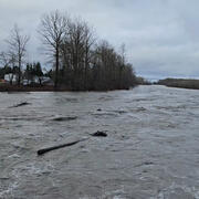
Water and Drought
