U.S. flag

An official website of the United States government

Images

Images of San Francisco Volcanic Field.

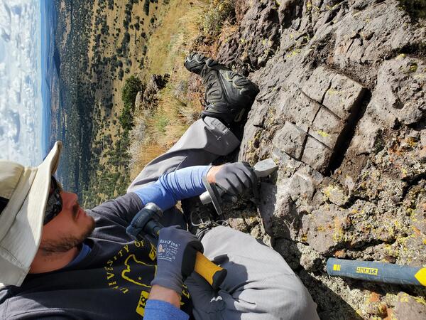
SP Crater in the San Francisco volcanic field of northern Arizona

SP Crater (right foreground), like many volcanoes in Arizona’s San Francisco volcanic field, erupted mafic lava that lacks sanidine crystals.

A USGS scientists collects a sample from the surface of a dark-colored rock using a hammer and chisel
USGS scientist collects a sample from a basalt lava flow for cosmogenic surface exposure dating

A USGS scientists uses a hammer and chisel to collect a sample from the surface of a basalt boulder in the San Francisco Volcanic Field of northern Arizona.  The age of the sample will be determined using a technique called cosmogenic surface exposure dating, which determines how long the rock has been exposed to cosmic rays at the surface of the Earth.

A USGS scientists uses a hammer and chisel to collect a sample from the surface of a basalt boulder in the San Francisco Volcanic Field of northern Arizona.  The age of the sample will be determined using a technique called cosmogenic surface exposure dating, which determines how long the rock has been exposed to cosmic rays at the surface of the Earth.

cinder cone with blue sky and fluffy clouds.
Sunset Crater is the youngest cinder cone of the San Francisco Volcanic Field in Northern Arizona.

Eruptions between 1064 and 1067 AD produced three lava flows that covered 8 km2 (3 mi2) and a field of scoria and spatter that covers 2300 km2 (890 mi2). Archeological evidence shows that there were communities of people living in the area who were impacted by the eruption.

Lava flow from SP Crater viewed toward the north

Lava flow from SP Crater viewed toward the north from the rim of SP, San Francisco Volcanic Field, Arizona.

San Francisco Peaks, north of Flagstaff, Arizona

San Francisco Peaks, north of Flagstaff, Arizona, viewed from the northeast. This mountain cluster is the tallest of the San Francisco Volcanic field.

San Francisco Volcanic Field Oct 12, 2003 ASTER satellite image dr...

San Francisco Volcanic Field Oct 12, 2003 ASTER satellite image draped over USGS topographic data. San Francisco Mountain upper center-right, volcanic field cinder cones and lava flows in foreground.

Was this page helpful?