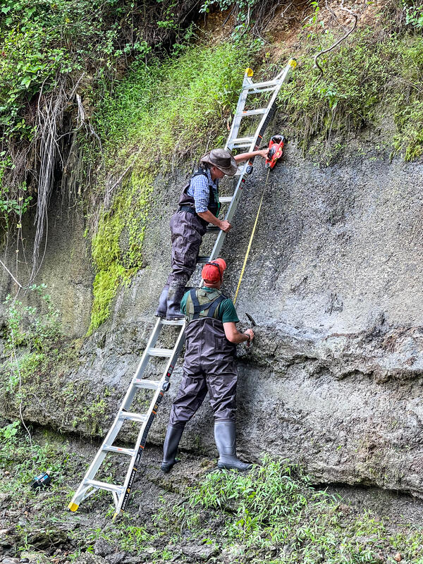
Physical Scientist Molly Huber of the Florence Bascom Geoscience Center examines tree roots in a location where a root cookie was recently cut.
Molly was there as part of a stream habitat/riparian assessment at Orson Creek in south central Pennsylvania.