French Broad River below I-26 near Bent Creek, NC (03448050)
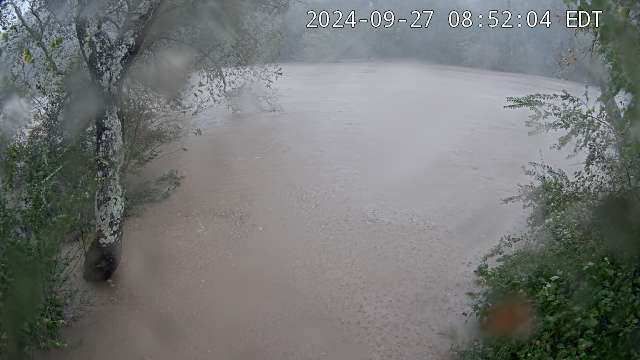
French Broad River below I-26 near Bent Creek, NC (03448050)The camera is located on the right bank of the French Broad River facing northeast; the river flows from left to right.
Water-quality monitoring equipment can be seen at the bottom-center of the viewing area.
Camera is sponsored by the NC Department of Transportation .