
Two video cameras are mounted on a bluff above Marconi Beach, Cape Cod National Seashore, Wellfleet, MA. Every half hour, the video cameras collect imagery for 10 minutes.
Webcams
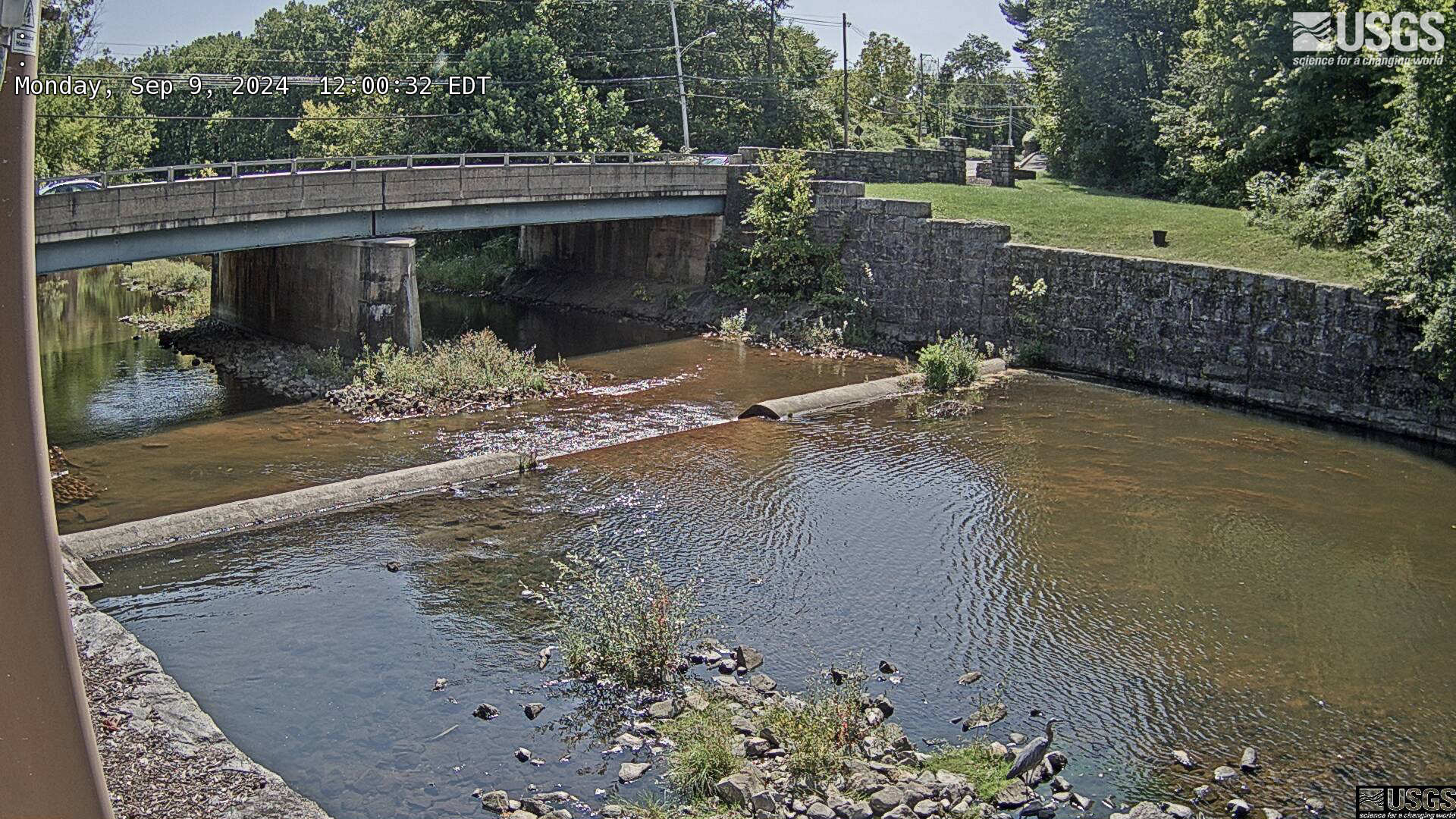
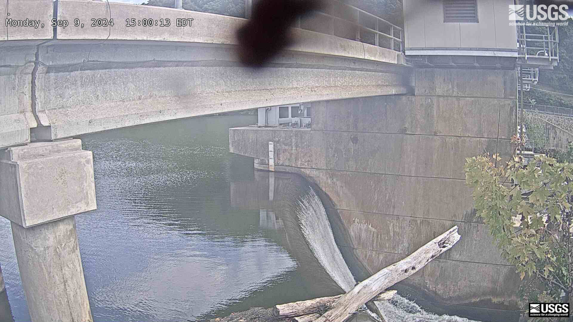
The USGS maintains a variety of webcams across the U.S. These webcams provide valuable research information and data to the USGS scientists, the National Weather Service, emergency managers, and area residents to evaluate near, real-time conditions during natural hazard events (most webcams refresh every 5 - 20 minutes).
Filter Total Items: 345

Marconi Beach video camera 1 variance image
Two video cameras are mounted on a bluff above Marconi Beach, Cape Cod National Seashore, Wellfleet, MA. Every half hour, the video cameras collect imagery for 10 minutes.

Marconi Beach video camera 2 dark image
Two video cameras are mounted on a bluff above Marconi Beach, Cape Cod National Seashore, Wellfleet, MA. Every half hour, the video cameras collect imagery for 10 minutes. This is the “dark” image, the darkest pixel values throughout the video, useful for tracking sediment plumes, tracking floating debris, and filtering out breaking waves.
Two video cameras are mounted on a bluff above Marconi Beach, Cape Cod National Seashore, Wellfleet, MA. Every half hour, the video cameras collect imagery for 10 minutes. This is the “dark” image, the darkest pixel values throughout the video, useful for tracking sediment plumes, tracking floating debris, and filtering out breaking waves.

Marconi Beach video camera 2 variance image
Two video cameras are mounted on a bluff above Marconi Beach, Cape Cod National Seashore, Wellfleet, MA. Every half hour, the video cameras collect imagery for 10 minutes.
Two video cameras are mounted on a bluff above Marconi Beach, Cape Cod National Seashore, Wellfleet, MA. Every half hour, the video cameras collect imagery for 10 minutes.

Marconi Beach video camera 1 bright image
Two video cameras are mounted on a bluff above Marconi Beach, Cape Cod National Seashore, Wellfleet, MA. Every half hour, the video cameras collect imagery for 10 minutes.
Two video cameras are mounted on a bluff above Marconi Beach, Cape Cod National Seashore, Wellfleet, MA. Every half hour, the video cameras collect imagery for 10 minutes.

Marconi Beach video camera 1 snapshot
Two video cameras are mounted on a bluff above Marconi Beach, Cape Cod National Seashore, Wellfleet, MA. Every half hour during daylight hours, the video camera collects imagery for 10 minutes and processes it. This is the snapshot image, like a photo, taken at the beginning of the 10-minute window and looking northeast.
Two video cameras are mounted on a bluff above Marconi Beach, Cape Cod National Seashore, Wellfleet, MA. Every half hour during daylight hours, the video camera collects imagery for 10 minutes and processes it. This is the snapshot image, like a photo, taken at the beginning of the 10-minute window and looking northeast.

Marconi Beach video camera 1 timex image
Two video cameras are mounted on a bluff above Marconi Beach, Cape Cod National Seashore, Wellfleet, MA. Every half hour, the video cameras collect imagery for 10 minutes.
Two video cameras are mounted on a bluff above Marconi Beach, Cape Cod National Seashore, Wellfleet, MA. Every half hour, the video cameras collect imagery for 10 minutes.

Marconi Beach video camera 2 bright image
Two video cameras are mounted on a bluff above Marconi Beach, Cape Cod National Seashore, Wellfleet, MA. Every half hour, the video cameras collect imagery for 10 minutes.
Two video cameras are mounted on a bluff above Marconi Beach, Cape Cod National Seashore, Wellfleet, MA. Every half hour, the video cameras collect imagery for 10 minutes.

Marconi Beach video camera 2 snapshot
Two video cameras are mounted on a bluff above Marconi Beach, Cape Cod National Seashore, Wellfleet, MA. Every half hour during daylight hours, the video camera collects imagery for 10 minutes and processes it. This is the snapshot image, like a photo, taken at the beginning of the 10-minute window and looking east.
Two video cameras are mounted on a bluff above Marconi Beach, Cape Cod National Seashore, Wellfleet, MA. Every half hour during daylight hours, the video camera collects imagery for 10 minutes and processes it. This is the snapshot image, like a photo, taken at the beginning of the 10-minute window and looking east.

Marconi Beach video camera 2 timex image
Two video cameras are mounted on a bluff above Marconi Beach, Cape Cod National Seashore, Wellfleet, MA. Every half hour, the video cameras collect imagery for 10 minutes.
Two video cameras are mounted on a bluff above Marconi Beach, Cape Cod National Seashore, Wellfleet, MA. Every half hour, the video cameras collect imagery for 10 minutes.
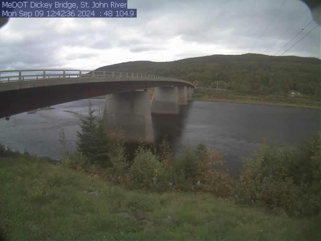
St. John River at Dickey, Maine (01037050)
View of the St. John River from the webcam located at St. John River at Dickey, Maine (01037050)
View of the St. John River from the webcam located at St. John River at Dickey, Maine (01037050)
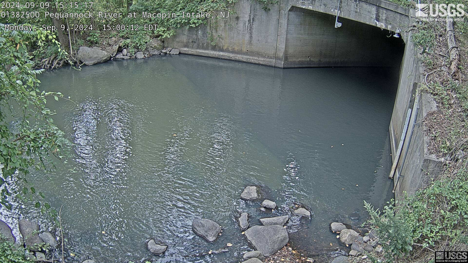
Streamgage 01382500 Pequannock R at Macopin Intake Dam, NJ
Streamgage 01382500 Pequannock R at Macopin Intake Dam, NJWebcam at USGS Streamgage 01382500 Pequannock River at Macopin Intake Dam, NJ
Visit Water Data For the Nation to get current data for this site.
Streamgage 01382500 Pequannock R at Macopin Intake Dam, NJ
Streamgage 01382500 Pequannock R at Macopin Intake Dam, NJWebcam at USGS Streamgage 01382500 Pequannock River at Macopin Intake Dam, NJ
Visit Water Data For the Nation to get current data for this site.
Streamgage 01387998 Ramapo R abv Dam at Pompton Lakes, NJ
Streamgage 01387998 Ramapo R abv Dam at Pompton Lakes, NJWebcam at USGS Streamgage 01387998 Ramapo River above Dam at Pompton Lakes, NJ
Streamgage 01387998 Ramapo R abv Dam at Pompton Lakes, NJ
Streamgage 01387998 Ramapo R abv Dam at Pompton Lakes, NJWebcam at USGS Streamgage 01387998 Ramapo River above Dam at Pompton Lakes, NJ
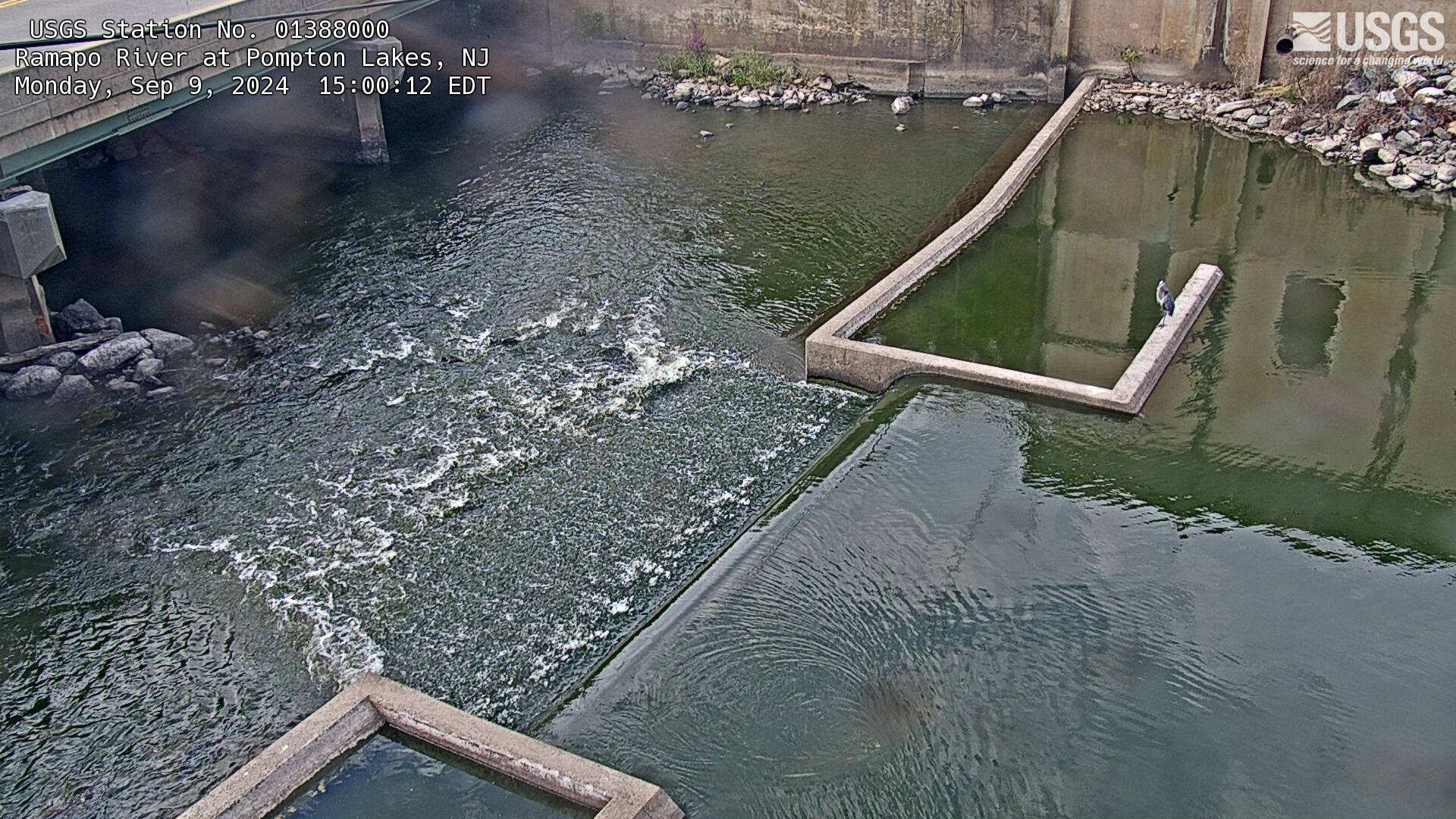
Streamgage 01388000 Ramapo River at Pompton Lakes, NJ
Streamgage 01388000 Ramapo River at Pompton Lakes, NJWebcam at USGS Streamgage 01388000 Ramapo River at Pompton Lakes, NJ
Visit Water Data For the Nation to get current data for this site.
Streamgage 01388000 Ramapo River at Pompton Lakes, NJ
Streamgage 01388000 Ramapo River at Pompton Lakes, NJWebcam at USGS Streamgage 01388000 Ramapo River at Pompton Lakes, NJ
Visit Water Data For the Nation to get current data for this site.
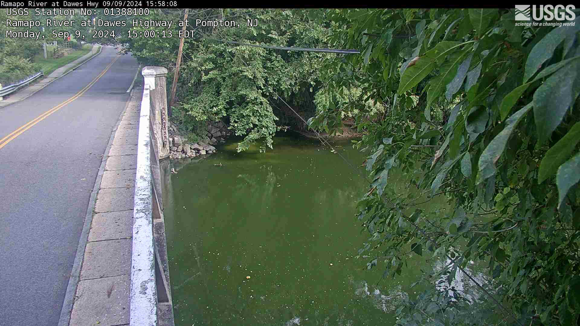
Streamgage 01388100 Ramapo River at Dawes Hwy at Pompton NJ
Streamgage 01388100 Ramapo River at Dawes Hwy at Pompton NJWebcam at USGS Streamgage 01388100 Ramapo River at Dawes Highway at Pompton NJ.
Streamgage 01388100 Ramapo River at Dawes Hwy at Pompton NJ
Streamgage 01388100 Ramapo River at Dawes Hwy at Pompton NJWebcam at USGS Streamgage 01388100 Ramapo River at Dawes Highway at Pompton NJ.
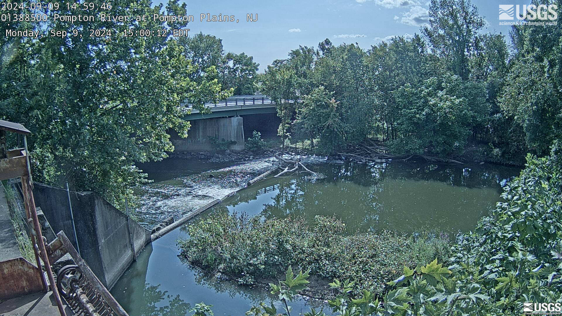
Streamgage 01388500 Pompton River at Pompton Plains, NJ
Streamgage 01388500 Pompton River at Pompton Plains, NJWebcam at USGS Streamgage 01388500 Pompton River at Pompton Plains, NJ
Visit Water Data For the Nation to get current data for this site.
Streamgage 01388500 Pompton River at Pompton Plains, NJ
Streamgage 01388500 Pompton River at Pompton Plains, NJWebcam at USGS Streamgage 01388500 Pompton River at Pompton Plains, NJ
Visit Water Data For the Nation to get current data for this site.
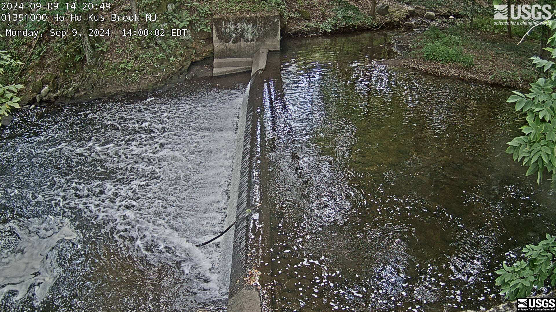
Streamgage 01391000 Hohokus Brook at Ho-Ho-Kus, NJ
Streamgage 01391000 Hohokus Brook at Ho-Ho-Kus, NJWebcam at USGS Streamgage 01391000 Hohokus Brook at Ho-Ho-Kus, NJ
Visit Water Data For the Nation to get current data for this site.
Streamgage 01391000 Hohokus Brook at Ho-Ho-Kus, NJ
Streamgage 01391000 Hohokus Brook at Ho-Ho-Kus, NJWebcam at USGS Streamgage 01391000 Hohokus Brook at Ho-Ho-Kus, NJ
Visit Water Data For the Nation to get current data for this site.
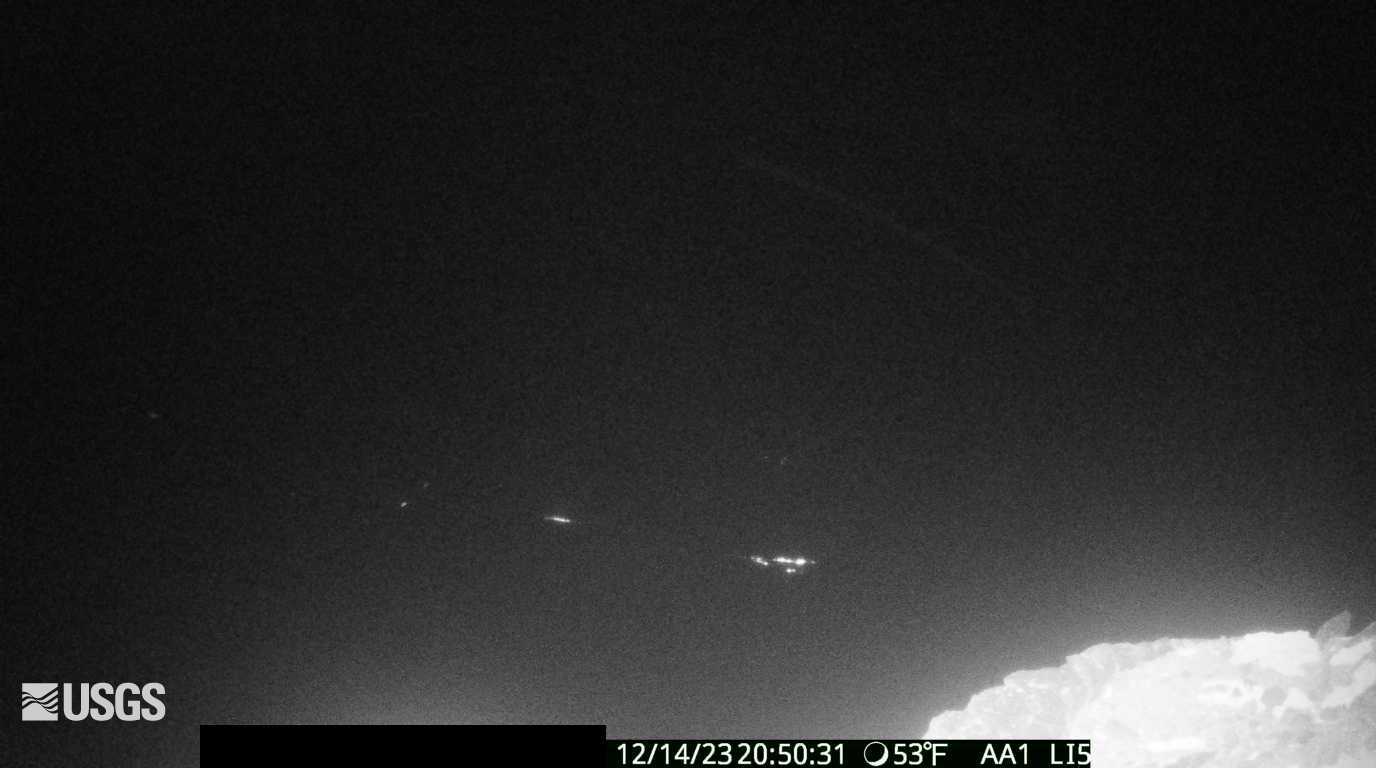
[S1cam] - Live view of the upper Southwest Rift Zone of Kīlauea, view is to the south
[S1cam] - Live view of the upper Southwest Rift Zone of Kīlauea, view is to the southLive view of the upper Southwest Rift Zone of Kīlauea, view is to the south - temporary webcam image [S1cam].
[S1cam] - Live view of the upper Southwest Rift Zone of Kīlauea, view is to the south
[S1cam] - Live view of the upper Southwest Rift Zone of Kīlauea, view is to the southLive view of the upper Southwest Rift Zone of Kīlauea, view is to the south - temporary webcam image [S1cam].
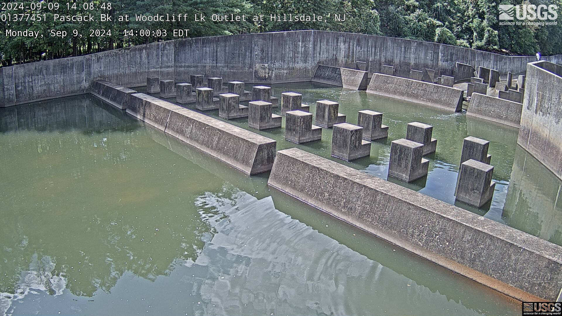
Streamgage 01377451 Pascack Bk, Woodcliff Lk Outlet at Hillsdale, NJ
Streamgage 01377451 Pascack Bk, Woodcliff Lk Outlet at Hillsdale, NJWebcam at USGS Streamgage 01377451 Pascack Brook at Woodcliff Lake outlet at Hillsdale, NJ
Streamgage 01377451 Pascack Bk, Woodcliff Lk Outlet at Hillsdale, NJ
Streamgage 01377451 Pascack Bk, Woodcliff Lk Outlet at Hillsdale, NJWebcam at USGS Streamgage 01377451 Pascack Brook at Woodcliff Lake outlet at Hillsdale, NJ
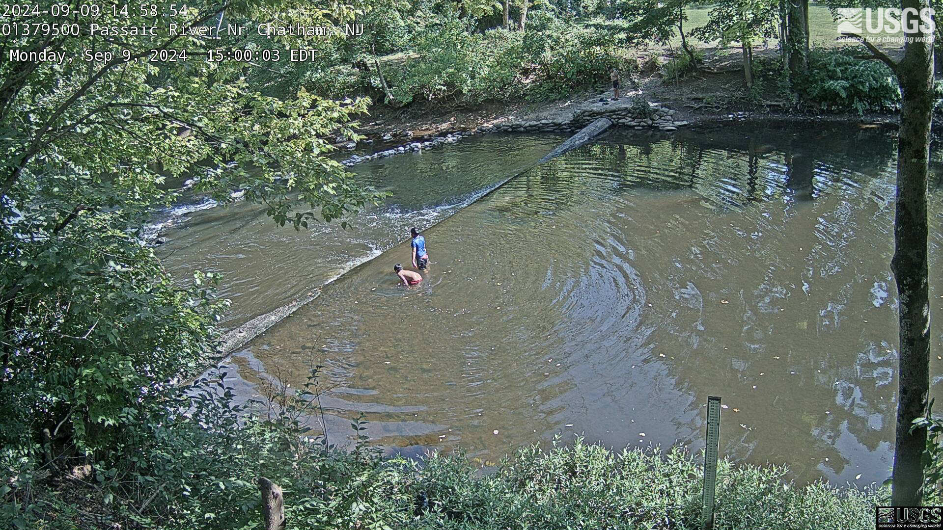
Streamgage 01379500 Passaic River near Chathem, NJ
Streamgage 01379500 Passaic River near Chathem, NJWebcam at USGS Streamgage 01379500 Passaic River near Chathem, NJ.
Visit Water Data For the Nation to get current data for this site.
Streamgage 01379500 Passaic River near Chathem, NJ
Streamgage 01379500 Passaic River near Chathem, NJWebcam at USGS Streamgage 01379500 Passaic River near Chathem, NJ.
Visit Water Data For the Nation to get current data for this site.
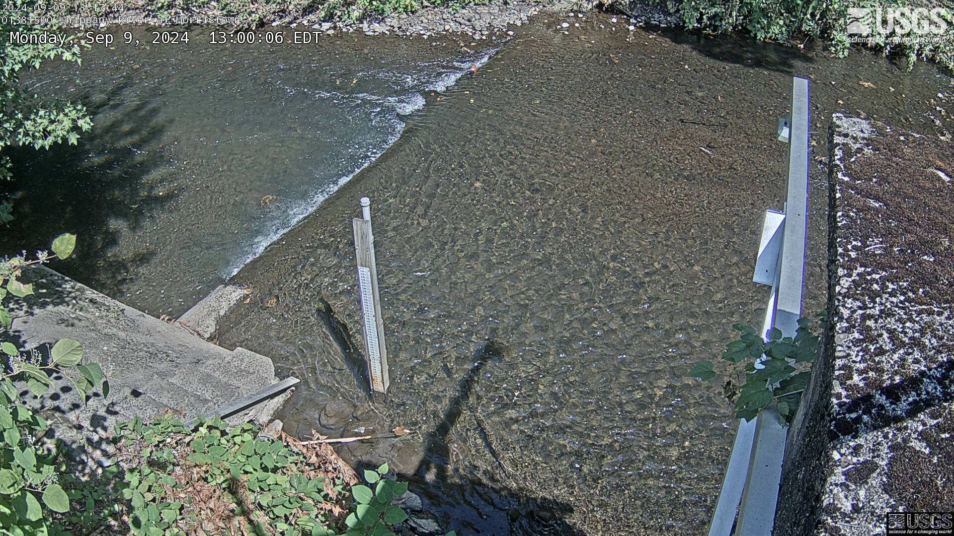
Streamgage 01381500 Whippany River at Morristown, NJ
Streamgage 01381500 Whippany River at Morristown, NJWebcam at USGS Streamgage 01381500 Whippany River at Morristown, NJ
Visit Water Data For the Nation to get current data for this site.
Streamgage 01381500 Whippany River at Morristown, NJ
Streamgage 01381500 Whippany River at Morristown, NJWebcam at USGS Streamgage 01381500 Whippany River at Morristown, NJ
Visit Water Data For the Nation to get current data for this site.