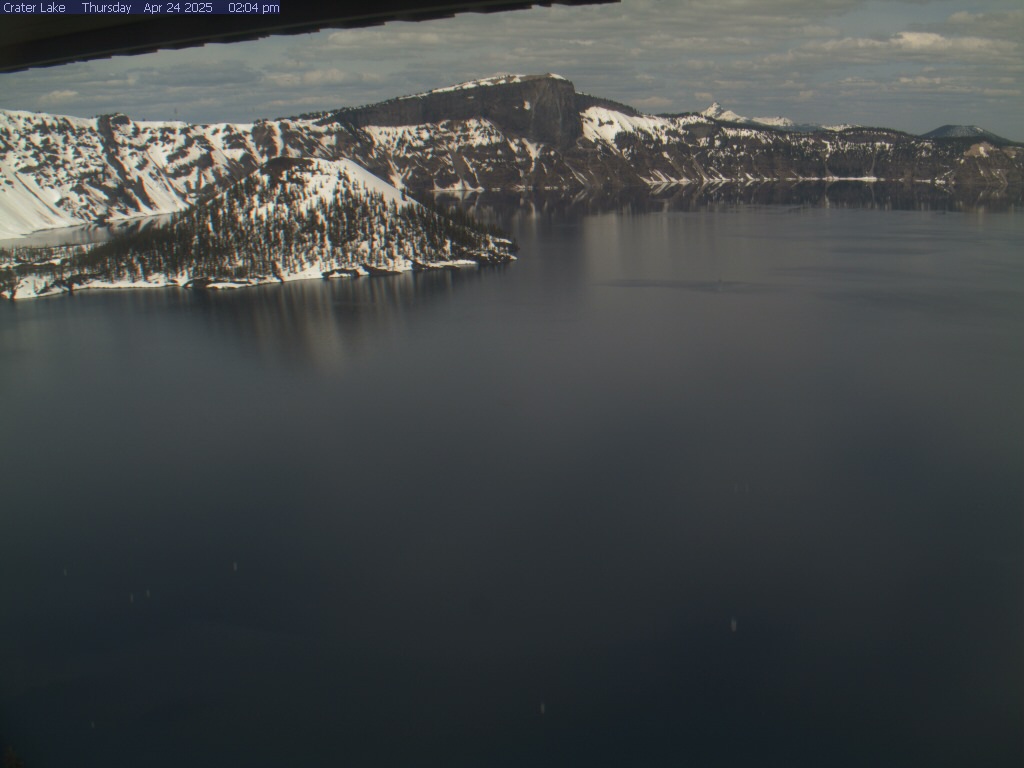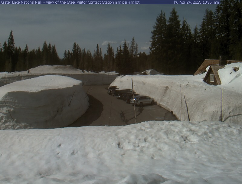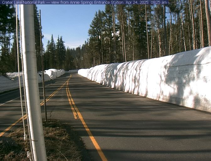
Open year-round, Highway 62 provides access to Crater Lake's rim via Munson Valley Road. 7 miles long, Munson Valley Road takes visitors from Annie Spring entrance station (elevation 6000 ft) and climbs nearly 1100 feet to Rim Village. Image updates every 10 minutes.
By