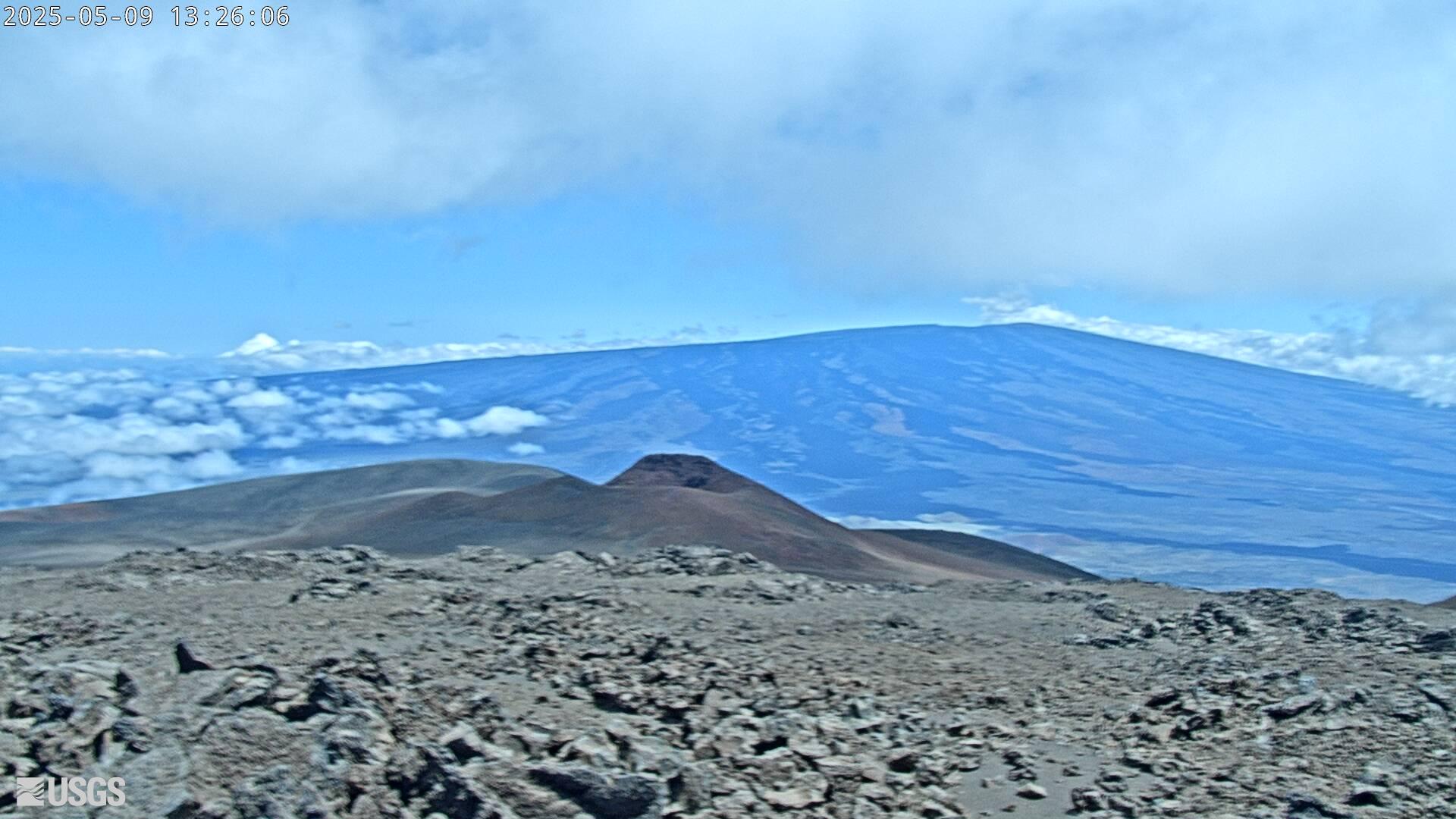
[HLcam] Live Image of Mauna Loa's northwest flank from Hualālai volcano
[HLcam] Live Image of Mauna Loa's northwest flank from Hualālai volcanoLive view of the northwest flank of Mauna Loa; the view is from the southeast flank of Hualālai [HLcam]. This camera is a pan-tilt-zoom model and the view may change depending on activity.