Streamgage 01437500 Neversink River at Godeffroy, NY
Streamgage 01437500 Neversink River at Godeffroy, NYWebcam at USGS Streamgage 01437500 Neversink River at Godeffroy, NY.
Visit Water Data For the Nation to get current data for this site.

Official websites use .gov
A .gov website belongs to an official government organization in the United States.
Secure .gov websites use HTTPS
A lock () or https:// means you’ve safely connected to the .gov website. Share sensitive information only on official, secure websites.
The USGS maintains a variety of webcams across the U.S. These webcams provide valuable research information and data to the USGS scientists, the National Weather Service, emergency managers, and area residents to evaluate near, real-time conditions during natural hazard events (most webcams refresh every 5 - 20 minutes).
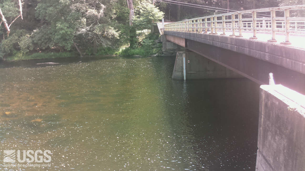
Webcam at USGS Streamgage 01437500 Neversink River at Godeffroy, NY.
Visit Water Data For the Nation to get current data for this site.
Webcam at USGS Streamgage 01437500 Neversink River at Godeffroy, NY.
Visit Water Data For the Nation to get current data for this site.
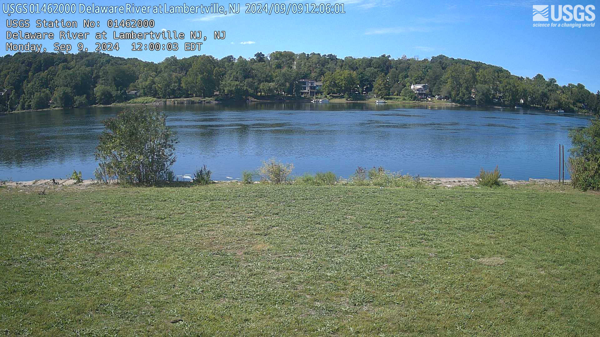
Webcam at USGS Streamgage 01462000 Delaware River at Lambertville, NJ.
Visit Water Data For the Nation to get current data for this site.
Webcam at USGS Streamgage 01462000 Delaware River at Lambertville, NJ.
Visit Water Data For the Nation to get current data for this site.
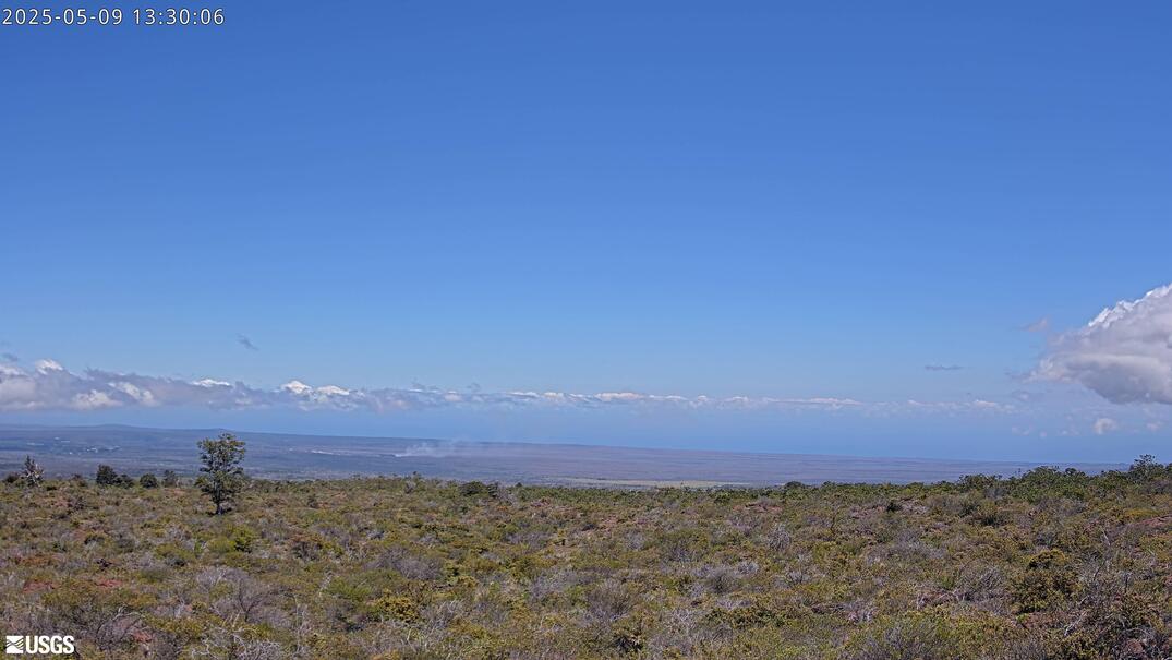
View from Mauna Loa Strip Road looking at the Kīlauea summit to document volcanic eruption plumes.
Disclaimer
View from Mauna Loa Strip Road looking at the Kīlauea summit to document volcanic eruption plumes.
Disclaimer

Webcam at USGS Streamgage 09071750 Colorado River above Glenwood Springs, CO.
Visit Water Data For the Nation to get current data for this site.
Webcam at USGS Streamgage 09071750 Colorado River above Glenwood Springs, CO.
Visit Water Data For the Nation to get current data for this site.

Webcam at USGS Streamgage 09095500 Colorado River near Cameo, CO.
Visit Water Data For the Nation to get current data for this site.
Webcam at USGS Streamgage 09095500 Colorado River near Cameo, CO.
Visit Water Data For the Nation to get current data for this site.

Video camera snapshot at Sunset State Beach in Watsonville, California, looking northwest. Learn more about the cameras and their imagery, and how we're using them to study coastal change.
Video camera snapshot at Sunset State Beach in Watsonville, California, looking northwest. Learn more about the cameras and their imagery, and how we're using them to study coastal change.

Video camera dark image at Sunset State Beach in Watsonville, California, looking northwest. Learn more about the cameras and their imagery, and how we're using them to study coastal change.
Video camera dark image at Sunset State Beach in Watsonville, California, looking northwest. Learn more about the cameras and their imagery, and how we're using them to study coastal change.
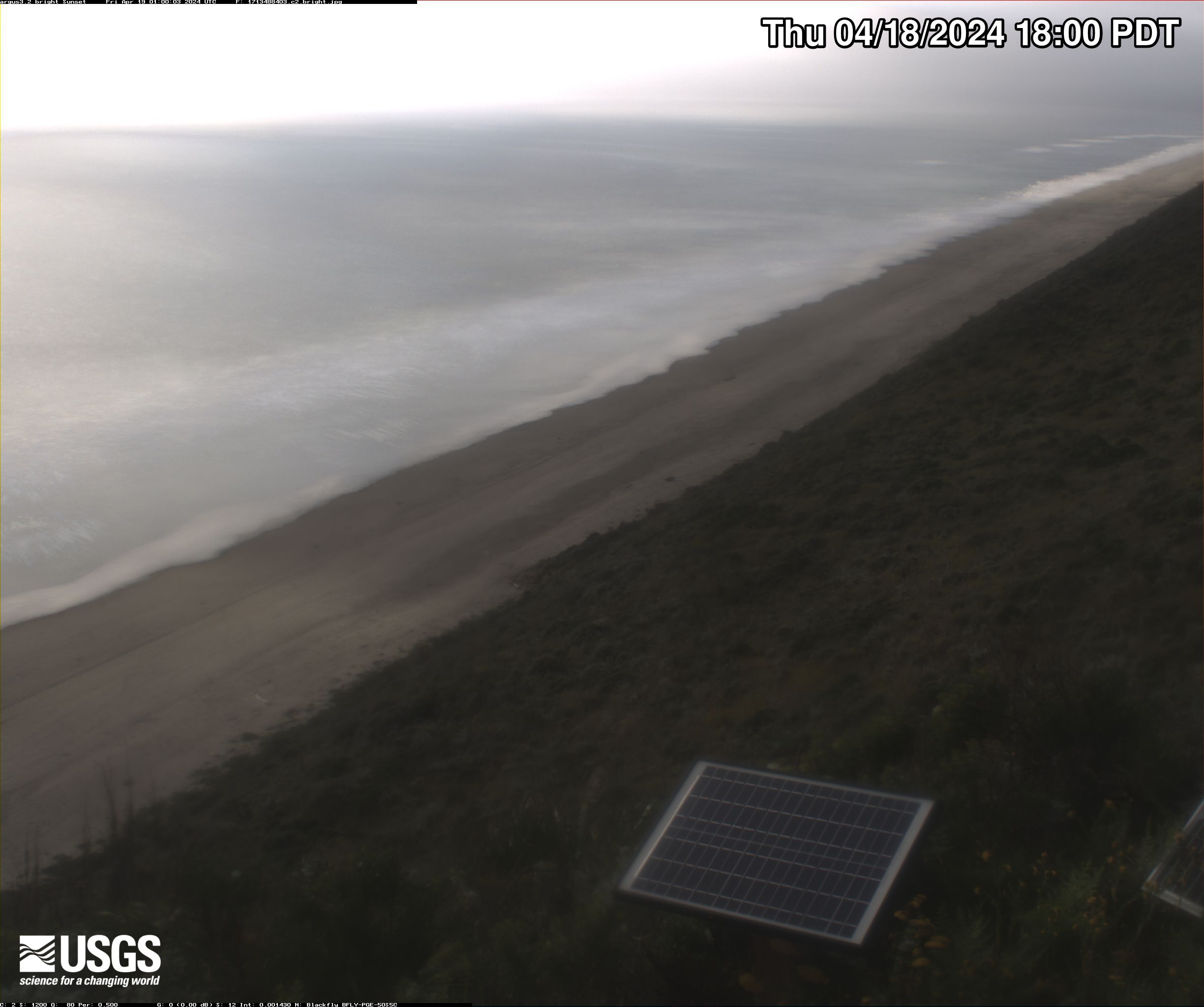
Video camera bright image at Sunset State Beach in Watsonville, California, looking north. Learn more about the cameras and their imagery, and how we're using them to study coastal change.
Video camera bright image at Sunset State Beach in Watsonville, California, looking north. Learn more about the cameras and their imagery, and how we're using them to study coastal change.

Video camera bright image at Sunset State Beach in Watsonville, California, looking north. Learn more about the cameras and their imagery, and how we're using them to study coastal change.
Video camera bright image at Sunset State Beach in Watsonville, California, looking north. Learn more about the cameras and their imagery, and how we're using them to study coastal change.

Video camera snapshot at Sunset State Beach in Watsonville, California, looking northwest. Learn more about the cameras and how we're using them to study coastal change.
Video camera snapshot at Sunset State Beach in Watsonville, California, looking northwest. Learn more about the cameras and how we're using them to study coastal change.

Video camera timex (time-exposure) image at Sunset State Beach in Watsonville, California, looking northwest. Learn more about the cameras and how we're using them to study coastal change.
Video camera timex (time-exposure) image at Sunset State Beach in Watsonville, California, looking northwest. Learn more about the cameras and how we're using them to study coastal change.

Video camera variance image at Sunset State Beach in Watsonville, California, looking northwest. Learn more about the cameras and their imagery, and how we're using them to study coastal change.
View a larger version
Video camera variance image at Sunset State Beach in Watsonville, California, looking northwest. Learn more about the cameras and their imagery, and how we're using them to study coastal change.
View a larger version

Video camera snapshot at Sunset State Beach in Watsonville, California, looking north. Learn more about the cameras and how we're using them to study coastal change.
Video camera snapshot at Sunset State Beach in Watsonville, California, looking north. Learn more about the cameras and how we're using them to study coastal change.

Video camera timex (time-exposure) image at Sunset State Beach in Watsonville, California, looking north. Learn more about the cameras and how we're using them to study coastal change.
Video camera timex (time-exposure) image at Sunset State Beach in Watsonville, California, looking north. Learn more about the cameras and how we're using them to study coastal change.

Video camera variance image at Sunset State Beach in Watsonville, California, looking north. Learn more about the cameras and their imagery, and how we're using them to study coastal change.
Video camera variance image at Sunset State Beach in Watsonville, California, looking north. Learn more about the cameras and their imagery, and how we're using them to study coastal change.

A current view of the most recent snapshot from a webcam located in Sand Key, Florida.
A current view of the most recent snapshot from a webcam located in Sand Key, Florida.

Time-averaged images, which represent the time-mean of all the images collected during a video, are used to identify areas where waves are breaking, which show up as bright white bands in the image.
Time-averaged images, which represent the time-mean of all the images collected during a video, are used to identify areas where waves are breaking, which show up as bright white bands in the image.

Live Panorama of Halemaʻumaʻu and down-dropped caldera floor from the west rim of the summit caldera, looking southeast [KWcam].
Disclaimer
Live Panorama of Halemaʻumaʻu and down-dropped caldera floor from the west rim of the summit caldera, looking southeast [KWcam].
Disclaimer
This image is from a temporary research camera located on Mauna Ulu, looking northeast.
This image is from a temporary research camera located on Mauna Ulu, looking northeast.
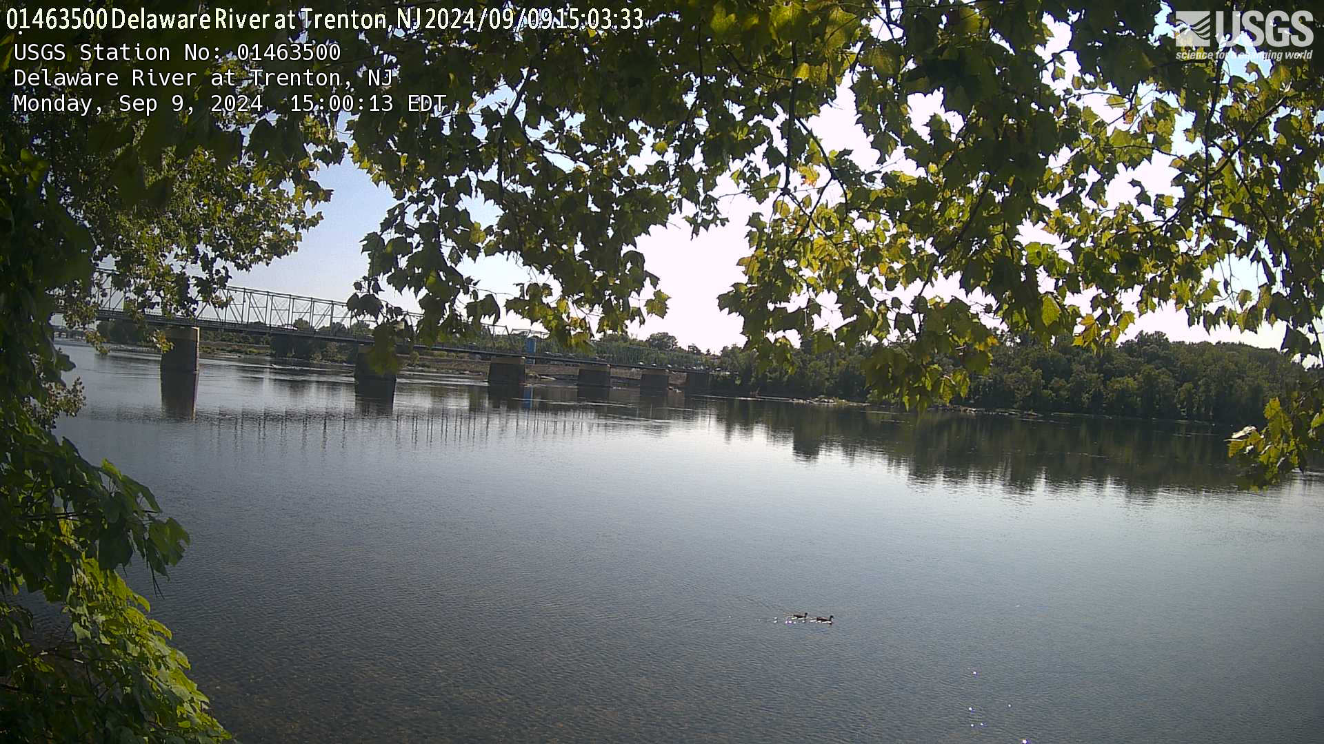
Webcam at USGS Streamgage 01463500 Delaware River at Trenton NJ.
Visit the site page to access data for this site.
Webcam at USGS Streamgage 01463500 Delaware River at Trenton NJ.
Visit the site page to access data for this site.

Video camera bright image at Tres Palmas in Rincón, on the west coast of Puerto Rico. [Larger version]
Learn more about the cameras and how we're using them to study wave dynamics.
Video camera bright image at Tres Palmas in Rincón, on the west coast of Puerto Rico. [Larger version]
Learn more about the cameras and how we're using them to study wave dynamics.