
Using Video Imagery to Study Coastal Change: Santa Cruz Beaches
Two video cameras atop the Dream Inn hotel in Santa Cruz, California, overlook the coast in northern Monterey Bay. One camera looks eastward over Santa Cruz Main Beach and boardwalk, while the other looks southward over Cowells Beach.
These cameras are part of the Remote Sensing Coastal Change project.
Every half hour during daylight hours, the cameras collect snapshots and video for 10 minutes. Today’s most recent images are shown below. Please note that it takes 10 minutes for the images to be posted, once they are collected by the camera.
Currently, video cameras are active at these locations:
- Dream Inn hotel in Santa Cruz, California
- Head of the Meadow Beach, Massachusetts
- Marconi Beach, Massachusetts
- Norton Sound, Unalakleet, Alaska
- Nuvuk (Point Barrow), Alaska
- Sunset State Beach, California
These and other images are used to remotely sense a range of processes, including:
- shoreline position,
- sandbar migration,
- rip-channel formation,
- wave run-up on the beach,
- alongshore current, and
- nearshore bathymetry.
Note: if old images are displayed, the camera system might be temporarily offline.
Snapshots
The snapshot is the first frame of the video, just like a standard photo.

Timex (time-exposure) images
A timex is a time-averaged image of all frames, smoothing away surface waves and determining the location of persistent wave-breaking (indicative of shallow sandbars).


Variance images
A “variance” image shows the standard deviation of pixel intensity throughout the video, and it is useful for determining how much variation or movement is occurring at a given location.


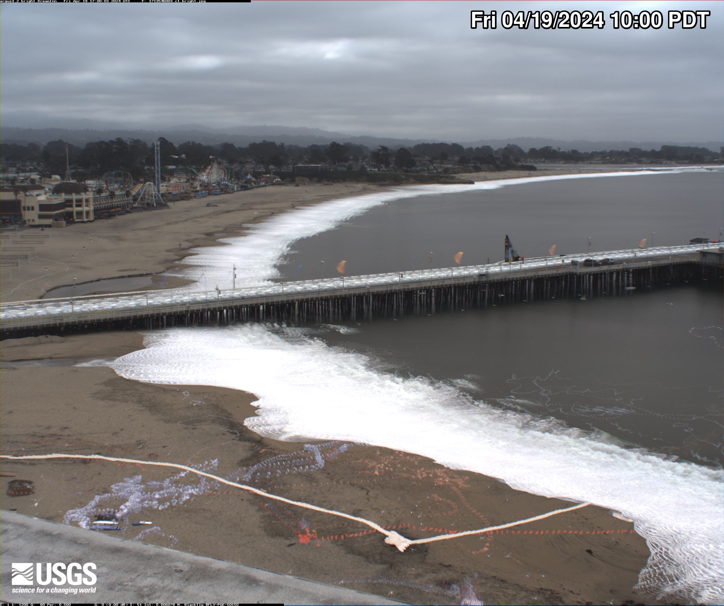
Bright images
A “bright” image shows the brightest pixel values throughout the video, useful for identifying the position of maximum wave run-up on the beach, position of all breaking waves, and sea-state.

Dark images
A “dark” image shows the darkest pixel values throughout the video, useful for tracking sediment plumes, tracking floating debris, and filtering out breaking waves.


Below are the projects that use the data collected by the video cameras, as well as other locations where similar video cameras are or were previously installed.

Remote Sensing Coastal Change

Coastal Climate Impacts

Climate impacts on Monterey Bay area beaches

Using Video Imagery to Study Coastal Change: Sunset State Beach

Using Video Imagery to Study Wave Dynamics: Unalakleet

Using Video Imagery to Study Sediment Transport and Wave Dynamics: Nuvuk (Point Barrow)

Using Video Imagery to Study Marconi Beach
Two video cameras atop the Dream Inn hotel in Santa Cruz, California, overlook the coast in northern Monterey Bay. One camera looks eastward over Santa Cruz Main Beach and boardwalk, while the other looks southward over Cowells Beach.
These cameras are part of the Remote Sensing Coastal Change project.
Every half hour during daylight hours, the cameras collect snapshots and video for 10 minutes. Today’s most recent images are shown below. Please note that it takes 10 minutes for the images to be posted, once they are collected by the camera.
Currently, video cameras are active at these locations:
- Dream Inn hotel in Santa Cruz, California
- Head of the Meadow Beach, Massachusetts
- Marconi Beach, Massachusetts
- Norton Sound, Unalakleet, Alaska
- Nuvuk (Point Barrow), Alaska
- Sunset State Beach, California
These and other images are used to remotely sense a range of processes, including:
- shoreline position,
- sandbar migration,
- rip-channel formation,
- wave run-up on the beach,
- alongshore current, and
- nearshore bathymetry.
Note: if old images are displayed, the camera system might be temporarily offline.
Snapshots
The snapshot is the first frame of the video, just like a standard photo.
Timex (time-exposure) images
A timex is a time-averaged image of all frames, smoothing away surface waves and determining the location of persistent wave-breaking (indicative of shallow sandbars).
Variance images
A “variance” image shows the standard deviation of pixel intensity throughout the video, and it is useful for determining how much variation or movement is occurring at a given location.
Bright images
A “bright” image shows the brightest pixel values throughout the video, useful for identifying the position of maximum wave run-up on the beach, position of all breaking waves, and sea-state.
Dark images
A “dark” image shows the darkest pixel values throughout the video, useful for tracking sediment plumes, tracking floating debris, and filtering out breaking waves.
Below are the projects that use the data collected by the video cameras, as well as other locations where similar video cameras are or were previously installed.
Remote Sensing Coastal Change
Coastal Climate Impacts
Climate impacts on Monterey Bay area beaches
Using Video Imagery to Study Coastal Change: Sunset State Beach
Using Video Imagery to Study Wave Dynamics: Unalakleet
Using Video Imagery to Study Sediment Transport and Wave Dynamics: Nuvuk (Point Barrow)