
Improved Lower South Bay suspended-sediment flux measurements
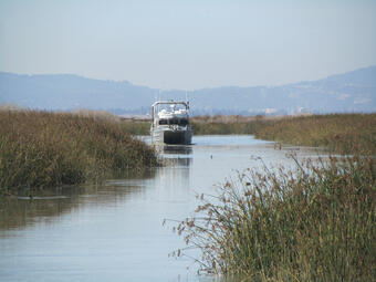
Tidal marshes provide animal habitats and prevent erosion. Expanding towns and cities have claimed major parts of San Francisco Bay’s marshland. Sediment deposits are essential to rebuilding tidal marshes and keeping existing marshes intact. In the southern part of the Bay, the largest tidal wetland restoration project on the west coast is underway. Sediment flux measurements are key in deciding how to manage water resources and in ensuring water quality for human, aquatic, and environmental health.
Problem
Current USGS methods for measuring suspended-sediment flux do not accurately account for the effect of flocculation (sediment clumping together). A proper knowledge of flocculation is important in determining sediment levels. Recently, a new method for understanding flocculation in estuarine sediment flux measurements has impacted sediment flux calculation for the lower South Bay. Using this new method, changes in flocculation size and density are estimated from a settling-velocity parameter derived from turbidity (cloudiness) measurements taken at different depths. Preliminary results indicates that flocculation coincides with the tidal cycle and is more significant on flood tides. However, this has not been completely validated.
Objectives
- Improve estimates of lower South Bay sediment flux by accounting for the effect of flocculation.
- Compare sediment flux estimates from optical and acoustic surrogate measures of suspended-sediment concentration.
Science Plan
Scientists will validate the newly proposed method with in-situ flocculation size, particle size distribution, suspended-sediment concentrations, and optical turbidity measurements through entire flood-ebb cycles during spring and neap tides. Initial analyses of previous settling velocity data (measured by flocculation camera) suggests that the settling-velocity parameter is reasonable. However, such data has not been collected through entire flood-ebb cycles, nor for all seasons. Seasonal and spring-neap sampling is still needed to determine settling velocities and confirm settling-velocity parameters for all time periods. Sediment flux monitoring will follow previously established USGS methods, as well as grain-size analyzation using an LISST-100x laser. To measure suspended-sediment throughout tidal cycles, scientists will collect water samples at 30-minute intervals using an automatic water sampler.