USGS Study Analyzes the Skill of Probabilistic Forecasts of Overwash and Inundation Along the Texas and Louisiana Coast
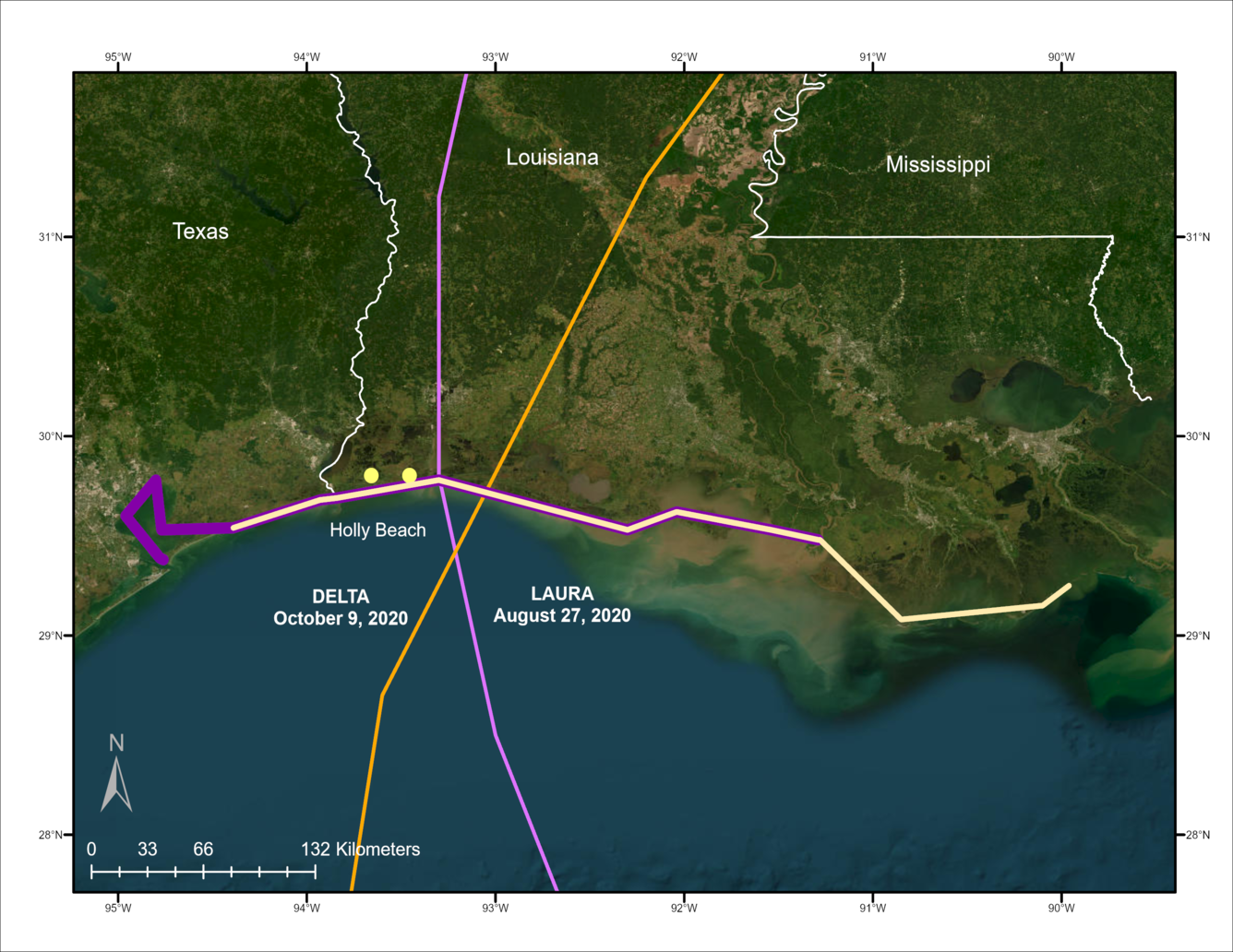
A new USGS study published in Natural Hazards analyzed the skill of probabilistic forecasts of overwash and inundation along the Louisiana coastline from back-to-back Hurricanes Laura and Delta in 2020.
To test skill, forecasts were compared with observations of water level relative to beach elevations and evidence of overwash and inundation identified in post-storm aerial imagery. The study found that probabilistic forecasts accurately identified areas where overwash and inundation were likely to occur and explored the role of storm surge exceedance value in probabilistic forecasts of overwash and inundation.
Hurricane induced sediment transport and flooding can cause catastrophic damage to coastal communities. Forecasts comparing extreme water levels to land elevations can provide essential information for communities prior to landfall of storms. Sallenger (2000) developed a conceptual model for comparing water levels with beach elevations over storm events. In the conceptual model, ocean driven changes on beaches can be described in terms of storm regimes, (a) collision, where wave runup interacts with a dune or scarp, (b) overwash, where wave runup overtops the highest elevation on the beach, and (c) inundation, where the mean water level exceeds the highest elevation on the beach (Sallenger 2000). The probability of each storm regime is computed by comparing coastal elevations with forecast water levels along a section of coastline.