
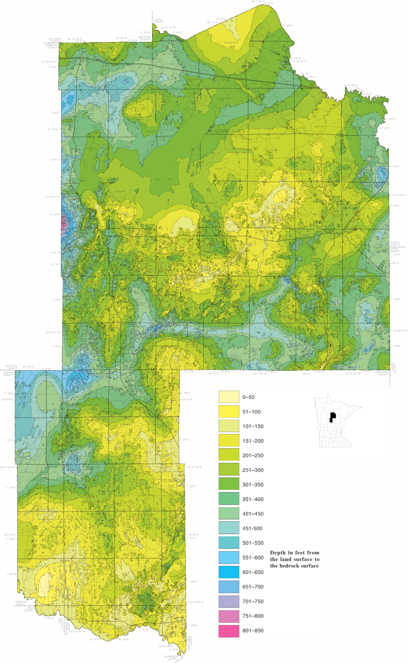
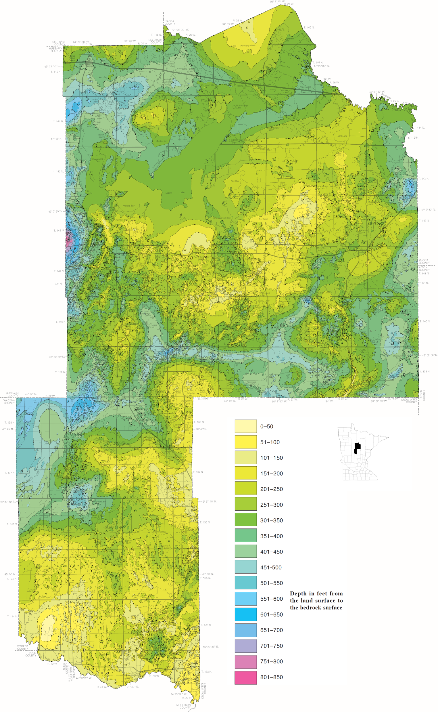
Cass County, Minnesota Depth to Bedrock map
By National Cooperative Geologic Mapping Program
2018 (approx.)
Detailed Description
This map shows the depth to bedrock for Cass County, Minnesota which represents the thickness of unconsolidated sediment above bedrock. It is part of the County Geologic Atlas project being conducted by the Minnesota Geological Survey. Maps like these help provide information about the glacial deposits that overlie the bedrock.
Sources/Usage
Public Domain.
Image courtesy of the Minnesota Geological Survey.
Lusardi, Barbara, A; Pettus, Margeurite, C; Chandler, Val, W; Radakovich, Amy, L; Nguyen, Maurice, K; Staley, Amie, E; Hamilton, Jacqueline, D. (2018). C-43, Geologic Atlas of Cass County, Minnesota. https://conservancy.umn.edu/items/a64a453b-61a3-4b60-822d-f2a074639eef
Related
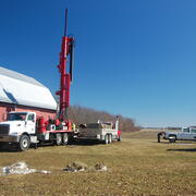
GLGMC Science in Action
The testimonials below demonstrate the impact of recent geologic mapping projects carried out by the GLGMC.
Related
GLGMC Science in Action
The testimonials below demonstrate the impact of recent geologic mapping projects carried out by the GLGMC.